TopoQuest Logo
Do you find TopoQuest useful?
Help keep TopoQuest running and adding new maps/features by donating!
Bitcoin:  19c7KJd3qBynnjoSw5npx9KScwjBe4ifkT
Litecoin:  LXs6TkuXGGXo1vDsWCkWVdjQX94eUKd6ui
Home View Maps Find Maps Find Places Resources & Links


Profile Gap, Idaho Topographic Map

USGS Map Title: Profile Gap, ID
USGS Map MRC: 45115A4
DRG (GeoTIFF) Download: o45115a4.tif


Neighboring USGS Topographic Map Quads:


  Pilot Peak, ID  
45115B5
 

  Wolf Fang Peak, ID  
45115B4
 

  Big Creek, ID  
45115B3
 

  Parks Peak, ID  
45115A5
 

  Profile Gap, ID  
45115A4
 

  Edwardsburg, ID  
45115A3
 

  Caton Lake, ID  
44115H5
 

  Yellow Pine, ID  
44115H4
 

  Stibnite, ID  
44115H3


Map MRC Location:

N46°
W116°
N46°
W115°
H8 H7 H6 H5 H4 H3 H2 H1
G8 G7 G6 G5 G4 G3 G2 G1
F8 F7 F6 F5 F4 F3 F2 F1
E8 E7 E6 E5 E4 E3 E2 E1
D8 D7 D6 D5 D4 D3 D2 D1
C8 C7 C6 C5 C4 C3 C2 C1
B8 B7 B6 B5 B4 B3 B2 B1
A8 A7 A6 A5 A4 A3 A2 A1
N45°
W116°
N45°
W115°

Profile Gap, ID USGS 1:24K Topographic Map Preview:
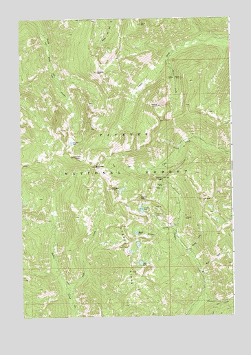
Profile Gap, ID USGS Topographic Map
Click on map above to begin viewing in our Map Viewer.

This topographic map contains these locations and features:
Feature Name Type Latitude Longitude GNIS ID View Map
Big Creek PointSummitN45.0627°W115.4562°377494View Map
Coin MountainSummitN45.0488°W115.3932°379500View Map
Crater LakeLakeN45.0447°W115.4292°380044View Map
Crater PeakSummitN45.0494°W115.4301°396341View Map
Dixie MountainSummitN45.1227°W115.4276°380648View Map
Ellison CreekStreamN45.0346°W115.4098°381433View Map
Fish LakeLakeN45.0225°W115.4300°381761View Map
Glasgow MineMineN45.0538°W115.4171°382289View Map
Greeley MountainSummitN45.1024°W115.4540°382619View Map
Lotspiech MineMineN45.0413°W115.4034°386193View Map
Middle LakeLakeN45.0351°W115.4325°386860View Map
Missouri CreekStreamN45.0069°W115.3954°387048View Map
Moore CreekStreamN45.1085°W115.4121°387148View Map
Moore PointSummitN45.0885°W115.4184°374018View Map
Moscow MineMineN45.1002°W115.4048°387250View Map
Profile GapGapN45.0574°W115.4159°388891View Map
Profile LakeLakeN45.0730°W115.4700°388892View Map
Profile PeakSummitN45.0671°W115.4682°388893View Map
Red Metals MineMineN45.0432°W115.4207°389212View Map
Ryan CreekStreamN45.0191°W115.3951°389750View Map
Spring CreekStreamN45.0257°W115.4007°391172View Map
Vein CreekStreamN45.0082°W115.4709°392714View Map
Willson MineMineN45.0549°W115.4165°398369View Map
Willson PeakSummitN45.0532°W115.4468°393537View Map

Note: Coordinates in the location and feature list above are referenced to NAD83 datum.


Copyright (C) 2008-2025 Ryan Niemi / Sunset Dynamics ... All Rights Reserved