TopoQuest Logo
Do you find TopoQuest useful?
Help keep TopoQuest running and adding new maps/features by donating!
Bitcoin:  19c7KJd3qBynnjoSw5npx9KScwjBe4ifkT
Litecoin:  LXs6TkuXGGXo1vDsWCkWVdjQX94eUKd6ui
Home View Maps Find Maps Find Places Resources & Links


Biola, California Topographic Map

USGS Map Title: Biola, CA
USGS Map MRC: 36120G1
DRG (GeoTIFF) Download: o36120g1.tif


Neighboring USGS Topographic Map Quads:


  Bonita Ranch, CA  
36120H2
 

  Madera, CA  
36120H1
 

  Gregg, CA  
36119H8
 

  Gravelly Ford, CA  
36120G2
 

  Biola, CA  
36120G1
 

  Herndon, CA  
36119G8
 

  Jamesan, CA  
36120F2
 

  Kerman, CA  
36120F1
 

  Kearney Park, CA  
36119F8


Map MRC Location:

N37°
W121°
N37°
W120°
H8 H7 H6 H5 H4 H3 H2 H1
G8 G7 G6 G5 G4 G3 G2 G1
F8 F7 F6 F5 F4 F3 F2 F1
E8 E7 E6 E5 E4 E3 E2 E1
D8 D7 D6 D5 D4 D3 D2 D1
C8 C7 C6 C5 C4 C3 C2 C1
B8 B7 B6 B5 B4 B3 B2 B1
A8 A7 A6 A5 A4 A3 A2 A1
N36°
W121°
N36°
W120°

Biola, CA USGS 1:24K Topographic Map Preview:
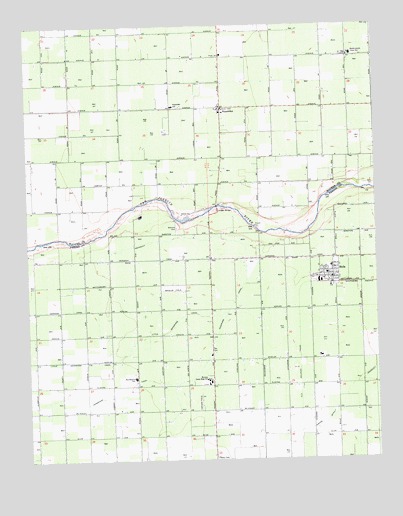
Biola, CA USGS Topographic Map
Click on map above to begin viewing in our Map Viewer.

This topographic map contains these locations and features:
Feature Name Type Latitude Longitude GNIS ID View Map
Bethany Evangelical Lutheran Church CemeteryCemeteryN36.8153°W120.0725°219097View Map
BiolaPopulated PlaceN36.8022°W120.0163°1659697View Map
Biola - Pershing Elementary SchoolSchoolN36.8056°W120.0170°1811598View Map
Biola Census Designated PlaceCensusN36.7999°W120.0210°2407849View Map
Biola Community Services BuildingBuildingN36.8011°W120.0168°1811596View Map
Biola Post OfficePost OfficeN36.8026°W120.0163°1811597View Map
Eastin-Arcola Elementary SchoolSchoolN36.8663°W120.0090°222942View Map
Empire DitchCanalN36.7644°W120.0127°223196View Map
Empire School (historical)SchoolN36.7716°W120.0329°1682753View Map
Kerman Union High SchoolSchoolN36.7722°W120.0610°226530View Map
Little Sandridge CanalCanalN36.7908°W120.0715°227362View Map
North Central Fire Protection District Station 23BuildingN36.8013°W120.0170°2624532View Map
RipperdanPopulated PlaceN36.8513°W120.0560°231625View Map
Ripperdan Community Day SchoolSchoolN36.8520°W120.0737°231627View Map
Sandridge CanalCanalN36.7680°W120.0921°232515View Map
Skaggs BridgeBridgeN36.8227°W120.0577°252056View Map
Sun Empire SchoolSchoolN36.7736°W120.0877°235771View Map
Vineland School (historical)SchoolN36.8072°W120.0602°1665677View Map

Note: Coordinates in the location and feature list above are referenced to NAD83 datum.


Copyright (C) 2008-2024 Ryan Niemi / Sunset Dynamics ... All Rights Reserved