TopoQuest Logo
Do you find TopoQuest useful?
Help keep TopoQuest running and adding new maps/features by donating!
Bitcoin:  19c7KJd3qBynnjoSw5npx9KScwjBe4ifkT
Litecoin:  LXs6TkuXGGXo1vDsWCkWVdjQX94eUKd6ui
Home View Maps Find Maps Find Places Resources & Links


Sun River, Montana Topographic Map

USGS Map Title: Sun River, MT
USGS Map MRC: 47111E6
DRG (GeoTIFF) Download: o47111e6.tif


Neighboring USGS Topographic Map Quads:


  Greenfield, MT  
47111F7
 

  Power, MT  
47111F6
 

  Vaughn NE, MT  
47111F5
 

  Fort Shaw, MT  
47111E7
 

  Sun River, MT  
47111E6
 

  Vaughn, MT  
47111E5
 

  Cascade Colony, MT  
47111D7
 

  Fair Haven Colony, MT  
47111D6
 

  Ulm, MT  
47111D5


Map MRC Location:

N48°
W112°
N48°
W111°
H8 H7 H6 H5 H4 H3 H2 H1
G8 G7 G6 G5 G4 G3 G2 G1
F8 F7 F6 F5 F4 F3 F2 F1
E8 E7 E6 E5 E4 E3 E2 E1
D8 D7 D6 D5 D4 D3 D2 D1
C8 C7 C6 C5 C4 C3 C2 C1
B8 B7 B6 B5 B4 B3 B2 B1
A8 A7 A6 A5 A4 A3 A2 A1
N47°
W112°
N47°
W111°

Sun River, MT USGS 1:24K Topographic Map Preview:
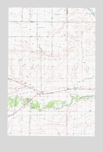
Sun River, MT USGS Topographic Map
Click on map above to begin viewing in our Map Viewer.

This topographic map contains these locations and features:
Feature Name Type Latitude Longitude GNIS ID View Map
20N01W02B___01 WellWellN47.5202°W111.7033°823570View Map
21N01W22CCDA01 WellWellN47.5547°W111.7228°823742View Map
21N01W22DCCA01 WellWellN47.5536°W111.7183°823736View Map
21N01W25A___01 WellWellN47.5494°W111.6714°823722View Map
21N01W26CAAD01 WellWellN47.5444°W111.6989°823696View Map
21N01W27A___01 WellWellN47.5494°W111.7141°823723View Map
21N01W34A___01 WellWellN47.5347°W111.7141°823652View Map
21N01W36B___01 WellWellN47.5347°W111.6822°823651View Map
Dracut JunctionLocaleN47.5455°W111.6641°805902View Map
Government Farm (historical)LocaleN47.5416°W111.7119°1762372View Map
Largent (historical)LocaleN47.5416°W111.6869°1762358View Map
Mill Coulee CreekStreamN47.5286°W111.6866°801730View Map
Project Post Office (historical)Post OfficeN47.6194°W111.6341°1762458View Map
Sun RiverPopulated PlaceN47.5333°W111.7214°777313View Map
Sun River (historical)LocaleN47.5333°W111.7214°1762422View Map
Sun River CemeteryCemeteryN47.5243°W111.7179°777314View Map
Sun River Census Designated PlaceCensusN47.5305°W111.7240°2410027View Map
Sun River Middle SchoolSchoolN47.5338°W111.7239°1761853View Map
Sun River Post OfficePost OfficeN47.5325°W111.7202°1762460View Map
Sun River Valley ChurchChurchN47.5427°W111.7019°805903View Map
Sun River Valley DitchCanalN47.5491°W111.6564°805846View Map
Sun River Valley DitchCanalN47.5513°W111.6503°805904View Map
Sun River Volunteer Fire DepartmentBuildingN47.5337°W111.7232°2546617View Map

Note: Coordinates in the location and feature list above are referenced to NAD83 datum.


Copyright (C) 2008-2025 Ryan Niemi / Sunset Dynamics ... All Rights Reserved