TopoQuest Logo
Do you find TopoQuest useful?
Help keep TopoQuest running and adding new maps/features by donating!
Bitcoin:  19c7KJd3qBynnjoSw5npx9KScwjBe4ifkT
Litecoin:  LXs6TkuXGGXo1vDsWCkWVdjQX94eUKd6ui
Home View Maps Find Maps Find Places Resources & Links


Fair Haven Colony, Montana Topographic Map

USGS Map Title: Fair Haven Colony, MT
USGS Map MRC: 47111D6
DRG (GeoTIFF) Download: o47111d6.tif


Neighboring USGS Topographic Map Quads:


  Fort Shaw, MT  
47111E7
 

  Sun River, MT  
47111E6
 

  Vaughn, MT  
47111E5
 

  Cascade Colony, MT  
47111D7
 

  Fair Haven Colony, MT  
47111D6
 

  Ulm, MT  
47111D5
 

  Mount Cecelia, MT  
47111C7
 

  Cascade, MT  
47111C6
 

  Nelson Island, MT  
47111C5


Map MRC Location:

N48°
W112°
N48°
W111°
H8 H7 H6 H5 H4 H3 H2 H1
G8 G7 G6 G5 G4 G3 G2 G1
F8 F7 F6 F5 F4 F3 F2 F1
E8 E7 E6 E5 E4 E3 E2 E1
D8 D7 D6 D5 D4 D3 D2 D1
C8 C7 C6 C5 C4 C3 C2 C1
B8 B7 B6 B5 B4 B3 B2 B1
A8 A7 A6 A5 A4 A3 A2 A1
N47°
W112°
N47°
W111°

Fair Haven Colony, MT USGS 1:24K Topographic Map Preview:
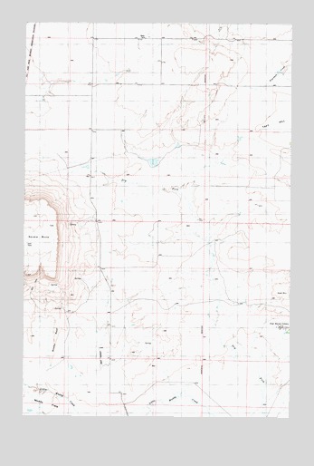
Fair Haven Colony, MT USGS Topographic Map
Click on map above to begin viewing in our Map Viewer.

This topographic map contains these locations and features:
Feature Name Type Latitude Longitude GNIS ID View Map
19N01E05B___01 SpringSpringN47.4330°W111.6397°822885View Map
19N01E07D___01 WellWellN47.4111°W111.6503°822736View Map
19N01E17A___01 WellWellN47.4036°W111.6291°822690View Map
19N01W01B___01 WellWellN47.4336°W111.6822°822889View Map
19N01W02A___01 WellWellN47.4336°W111.6930°822890View Map
19N01W12B___01 WellWellN47.4191°W111.6822°822789View Map
19N01W21B___01 WellWellN47.3900°W111.7464°822617View Map
19N01W22A___01 WellWellN47.3900°W111.7141°822616View Map
19N01W22A___02 WellWellN47.3919°W111.7111°822622View Map
20N01W27A___01 WellWellN47.4625°W111.7141°823140View Map
20N01W34B___01 WellWellN47.4480°W111.7250°822988View Map
20N01W35B___01 WellWellN47.4480°W111.7033°822987View Map
Cascade Muddy School (historical)SchoolN47.3936°W111.7105°1761904View Map
Dry Fork Fairhaven Number 1 DamDamN47.3983°W111.6558°798361View Map
Fair Haven ColonyPopulated PlaceN47.4036°W111.6283°805862View Map
Fairhaven Colony SchoolSchoolN47.4040°W111.6300°1761852View Map
Gibbons School (historical)SchoolN47.4800°W111.7044°1761909View Map
GMG DamDamN47.4550°W111.6891°798370View Map
Square ButteSummitN47.4416°W111.7472°777109View Map

Note: Coordinates in the location and feature list above are referenced to NAD83 datum.


Copyright (C) 2008-2025 Ryan Niemi / Sunset Dynamics ... All Rights Reserved