TopoQuest Logo
Do you find TopoQuest useful?
Help keep TopoQuest running and adding new maps/features by donating!
Bitcoin:  19c7KJd3qBynnjoSw5npx9KScwjBe4ifkT
Litecoin:  LXs6TkuXGGXo1vDsWCkWVdjQX94eUKd6ui
Home View Maps Find Maps Find Places Resources & Links


Union School, Montana Topographic Map

USGS Map Title: Union School, MT
USGS Map MRC: 47105B3
DRG (GeoTIFF) Download: o47105b3.tif


Neighboring USGS Topographic Map Quads:


  Mount Antelope, MT  
47105C4
 

  Olson Coulee South, MT  
47105C3
 

  Deer Creek Church, MT  
47105C2
 

  Diamond G Butte NW, MT  
47105B4
 

  Union School, MT  
47105B3
 

  Lindsay, MT  
47105B2
 

  North Coulee, MT  
47105A4
 

  Diamond G Butte, MT  
47105A3
 

  Lindsay SW, MT  
47105A2


Map MRC Location:

N48°
W106°
N48°
W105°
H8 H7 H6 H5 H4 H3 H2 H1
G8 G7 G6 G5 G4 G3 G2 G1
F8 F7 F6 F5 F4 F3 F2 F1
E8 E7 E6 E5 E4 E3 E2 E1
D8 D7 D6 D5 D4 D3 D2 D1
C8 C7 C6 C5 C4 C3 C2 C1
B8 B7 B6 B5 B4 B3 B2 B1
A8 A7 A6 A5 A4 A3 A2 A1
N47°
W106°
N47°
W105°

Union School, MT USGS 1:24K Topographic Map Preview:
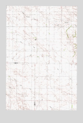
Union School, MT USGS Topographic Map
Click on map above to begin viewing in our Map Viewer.

This topographic map contains these locations and features:
Feature Name Type Latitude Longitude GNIS ID View Map
16N50E02AACD01 WellWellN47.1800°W105.3494°821270View Map
16N50E10AADD01 WellWellN47.1631°W105.3680°821155View Map
16N50E23CB__01 WellWellN47.1283°W105.3653°820906View Map
16N51E06DDC_01 WellWellN47.1689°W105.3033°821206View Map
16N51E20CAA_01 WellWellN47.1283°W105.2922°820905View Map
16N51E22CBC_01 WellWellN47.1292°W105.2547°820913View Map
17N50E14DDB_01 WellWellN47.2278°W105.3028°821569View Map
17N50E28BAC_01 WellWellN47.2089°W105.3555°821450View Map
17N50E35BCD_01 WellWellN47.1895°W105.3172°821319View Map
17N51E19AAA_01 WellWellN47.2236°W105.2564°821549View Map
17N51E30CDC_01 WellWellN47.1992°W105.2694°821387View Map
Bidwell School (historical)SchoolN47.1511°W105.3042°1715500View Map
Clear Creek School (historical)SchoolN47.1753°W105.2725°1715513View Map
Malkuch DamDamN47.1650°W105.3155°795478View Map
Malkuch ReservoirReservoirN47.1650°W105.3155°795479View Map
Seven Number 4 DamDamN47.1883°W105.3339°797531View Map
Spring Valley School (historical)SchoolN47.1508°W105.3667°1715736View Map
Summit School (historical)SchoolN47.2378°W105.3700°1715579View Map
Union (historical)Populated PlaceN47.1872°W105.3064°1715384View Map
Union CemeteryCemeteryN47.1822°W105.2889°1715466View Map
Union Post Office (historical)Post OfficeN47.1872°W105.3064°1715383View Map
Union School (historical)SchoolN47.2100°W105.3217°799811View Map
Upper Fork Clear CreekStreamN47.1436°W105.3214°1715807View Map

Note: Coordinates in the location and feature list above are referenced to NAD83 datum.


Copyright (C) 2008-2025 Ryan Niemi / Sunset Dynamics ... All Rights Reserved