TopoQuest Logo
Do you find TopoQuest useful?
Help keep TopoQuest running and adding new maps/features by donating!
Bitcoin:  19c7KJd3qBynnjoSw5npx9KScwjBe4ifkT
Litecoin:  LXs6TkuXGGXo1vDsWCkWVdjQX94eUKd6ui
Home View Maps Find Maps Find Places Resources & Links


Lindsay, Montana Topographic Map

USGS Map Title: Lindsay, MT
USGS Map MRC: 47105B2
DRG (GeoTIFF) Download: o47105b2.tif


Neighboring USGS Topographic Map Quads:


  Olson Coulee South, MT  
47105C3
 

  Deer Creek Church, MT  
47105C2
 

  Johnson Reservoir, MT  
47105C1
 

  Union School, MT  
47105B3
 

  Lindsay, MT  
47105B2
 

  Woodrow, MT  
47105B1
 

  Diamond G Butte, MT  
47105A3
 

  Lindsay SW, MT  
47105A2
 

  Upper Cracker Box School, MT  
47105A1


Map MRC Location:

N48°
W106°
N48°
W105°
H8 H7 H6 H5 H4 H3 H2 H1
G8 G7 G6 G5 G4 G3 G2 G1
F8 F7 F6 F5 F4 F3 F2 F1
E8 E7 E6 E5 E4 E3 E2 E1
D8 D7 D6 D5 D4 D3 D2 D1
C8 C7 C6 C5 C4 C3 C2 C1
B8 B7 B6 B5 B4 B3 B2 B1
A8 A7 A6 A5 A4 A3 A2 A1
N47°
W106°
N47°
W105°

Lindsay, MT USGS 1:24K Topographic Map Preview:
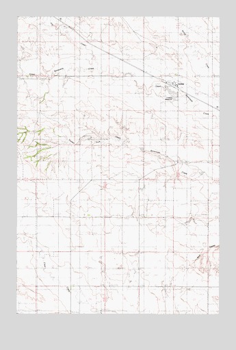
Lindsay, MT USGS Topographic Map
Click on map above to begin viewing in our Map Viewer.

This topographic map contains these locations and features:
Feature Name Type Latitude Longitude GNIS ID View Map
16N52E08BAB_01 WellWellN47.1653°W105.1650°821179View Map
17N51E13BDA_01 WellWellN47.2356°W105.1628°821602View Map
17N51E28DDC_01 WellWellN47.1986°W105.2166°821382View Map
Baggs School (historical)SchoolN47.2445°W105.2422°1715497View Map
Danial Downs Number 2 DamDamN47.1833°W105.1372°798011View Map
Danial Downs Number 4 DamDamN47.1667°W105.1372°798012View Map
Farmers ElevatorLocaleN47.2208°W105.1533°1715404View Map
Hay CreekStreamN47.2267°W105.2022°772260View Map
LindsayLocaleN47.2211°W105.1533°1715363View Map
LindsayPopulated PlaceN47.2189°W105.1539°773370View Map
Lindsay DamDamN47.2167°W105.1539°795472View Map
Lindsay Post OfficePost OfficeN47.2222°W105.1516°1715364View Map
Lindsay ReservoirReservoirN47.2185°W105.1560°799812View Map
Lindsay SchoolSchoolN47.2225°W105.1536°1715548View Map
Timber Fork School (historical)SchoolN47.1661°W105.1836°1715581View Map

Note: Coordinates in the location and feature list above are referenced to NAD83 datum.


Copyright (C) 2008-2025 Ryan Niemi / Sunset Dynamics ... All Rights Reserved