TopoQuest Logo
Do you find TopoQuest useful?
Help keep TopoQuest running and adding new maps/features by donating!
Bitcoin:  19c7KJd3qBynnjoSw5npx9KScwjBe4ifkT
Litecoin:  LXs6TkuXGGXo1vDsWCkWVdjQX94eUKd6ui
Home View Maps Find Maps Find Places Resources & Links


Weitas Butte, Idaho Topographic Map

USGS Map Title: Weitas Butte, ID
USGS Map MRC: 46115D4
DRG (GeoTIFF) Download: o46115d4.tif


Neighboring USGS Topographic Map Quads:


  Larch Butte, ID  
46115E5
 

  Lean-to Point, ID  
46115E4
 

  Cook Mountain, ID  
46115E3
 

  Snowy Summit, ID  
46115D5
 

  Weitas Butte, ID  
46115D4
 

  Liz Butte, ID  
46115D3
 

  Boundary Peak, ID  
46115C5
 

  McLendon Butte, ID  
46115C4
 

  Huckleberry Butte, ID  
46115C3


Map MRC Location:

N47°
W116°
N47°
W115°
H8 H7 H6 H5 H4 H3 H2 H1
G8 G7 G6 G5 G4 G3 G2 G1
F8 F7 F6 F5 F4 F3 F2 F1
E8 E7 E6 E5 E4 E3 E2 E1
D8 D7 D6 D5 D4 D3 D2 D1
C8 C7 C6 C5 C4 C3 C2 C1
B8 B7 B6 B5 B4 B3 B2 B1
A8 A7 A6 A5 A4 A3 A2 A1
N46°
W116°
N46°
W115°

Weitas Butte, ID USGS 1:24K Topographic Map Preview:
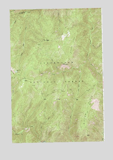
Weitas Butte, ID USGS Topographic Map
Click on map above to begin viewing in our Map Viewer.

This topographic map contains these locations and features:
Feature Name Type Latitude Longitude GNIS ID View Map
Bowl ButteSummitN46.4146°W115.4368°378135View Map
Bowl CreekStreamN46.3763°W115.4624°378136View Map
Burn CreekStreamN46.4524°W115.3949°378525View Map
Cache Mountain CampLocaleN46.3796°W115.4082°395168View Map
Deep SaddleGapN46.4155°W115.4121°380404View Map
Deep Saddle CreekStreamN46.4444°W115.4068°380406View Map
Flame CreekStreamN46.4999°W115.4368°381814View Map
Green SaddleGapN46.4160°W115.4560°382655View Map
Little Weitas ButteSummitN46.4477°W115.4299°384988View Map
Middle RidgeRidgeN46.4677°W115.4149°386871View Map
Portable Soup CampLocaleN46.3880°W115.4812°394937View Map
Retreat CampLocaleN46.3757°W115.4621°395034View Map
Rocky Ridge CreekStreamN46.4971°W115.4787°389569View Map
Rocky Ridge LakeLakeN46.4416°W115.4930°389570View Map
Rocky Ridge Lake CampgroundLocaleN46.4413°W115.4924°394003View Map
Salix CreekStreamN46.4666°W115.3910°389846View Map
Stove CreekStreamN46.4405°W115.4332°391511View Map
Weitas ButteSummitN46.4705°W115.4526°392987View Map
Weitas MeadowsFlatN46.4330°W115.4829°392990View Map
Weitas Meadows CampgroundLocaleN46.4352°W115.4821°398471View Map
Willow PointCapeN46.3810°W115.3987°393525View Map

Note: Coordinates in the location and feature list above are referenced to NAD83 datum.


Copyright (C) 2008-2025 Ryan Niemi / Sunset Dynamics ... All Rights Reserved