TopoQuest Logo
Do you find TopoQuest useful?
Help keep TopoQuest running and adding new maps/features by donating!
Bitcoin:  19c7KJd3qBynnjoSw5npx9KScwjBe4ifkT
Litecoin:  LXs6TkuXGGXo1vDsWCkWVdjQX94eUKd6ui
Home View Maps Find Maps Find Places Resources & Links


Yankton, South Dakota Topographic Map

USGS Map Title: Yankton, SD
USGS Map MRC: 42097H4
DRG (GeoTIFF) Download: o42097h4.tif


Neighboring USGS Topographic Map Quads:


  Lesterville, SD  
43097A5
 

  Jamesville, SD  
43097A4
 

  Mayfield, SD  
43097A3
 

  Tabor NE, SD  
42097H5
 

  Yankton, SD  
42097H4
 

  Mission Hill, SD  
42097H3
 

  Tabor SE, NE  
42097G5
 

  Gavins Point Dam, SD  
42097G4
 

  Menominee, NE  
42097G3


Map MRC Location:

N43°
W98°
N43°
W97°
H8 H7 H6 H5 H4 H3 H2 H1
G8 G7 G6 G5 G4 G3 G2 G1
F8 F7 F6 F5 F4 F3 F2 F1
E8 E7 E6 E5 E4 E3 E2 E1
D8 D7 D6 D5 D4 D3 D2 D1
C8 C7 C6 C5 C4 C3 C2 C1
B8 B7 B6 B5 B4 B3 B2 B1
A8 A7 A6 A5 A4 A3 A2 A1
N42°
W98°
N42°
W97°

Yankton, SD USGS 1:24K Topographic Map Preview:
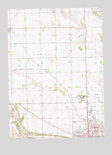
Yankton, SD USGS Topographic Map
Click on map above to begin viewing in our Map Viewer.

This topographic map contains these locations and features:
Feature Name Type Latitude Longitude GNIS ID View Map
Beadle Elementary SchoolSchoolN42.8811°W97.3864°1253796View Map
Chan Gurney Municipal AirportAirportN42.9108°W97.3821°1259789View Map
City of YanktonCivilN42.8902°W97.3925°1267665View Map
Crockett ParkParkN42.8800°W97.3789°1254547View Map
Fantle Memorial ParkParkN42.8886°W97.3898°1255010View Map
Garden of Memories CemeteryCemeteryN42.9047°W97.3935°1255195View Map
Garfield SchoolSchoolN42.8753°W97.3939°1255203View Map
KYNT-AM (Yankton)TowerN42.8917°W97.4198°1259347View Map
Laddie E Cimpl ArenaBuildingN42.8755°W97.4105°2726276View Map
Lewis and Clark Specialty HospitalBuildingN42.9009°W97.4009°2610973View Map
Lincoln Elementary SchoolSchoolN42.8777°W97.4004°1256122View Map
Missouri Valley Christian AcademySchoolN42.8976°W97.3950°2729091View Map
Napa JunctionPopulated PlaceN42.9411°W97.4537°1261128View Map
Old Library GymBuildingN42.8751°W97.4109°2726277View Map
Pershing SchoolSchoolN42.9744°W97.4178°1257019View Map
Sacred Heart CemeteryCemeteryN42.9008°W97.3941°1257534View Map
Sacred Heart Elementary SchoolSchoolN42.9071°W97.4189°2729459View Map
South Dakota Hospital For The Insane (historical)HospitalN42.9147°W97.4022°2554639View Map
South Dakota Human Services CenterHospitalN42.9155°W97.4005°2610962View Map
South Dakota Human Services CenterBuildingN42.9147°W97.4017°1266542View Map
State Hospital CemeteryCemeteryN42.9095°W97.4069°2779416View Map
Stewart Elementary SchoolSchoolN42.8914°W97.3942°1258344View Map
Town of UticaCivilN42.9811°W97.4967°1267609View Map
Township of UticaCivilN42.9523°W97.4572°1268604View Map
Tripp ParkParkN42.8772°W97.3964°1258620View Map
UticaPopulated PlaceN42.9811°W97.4965°1258718View Map
Utica Post OfficePost OfficeN42.9786°W97.4978°2711997View Map
Yankton City CemeteryCemeteryN42.8991°W97.3947°2779429View Map
Yankton CollegeSchoolN42.8803°W97.3903°1259092View Map
Yankton County Emergency Medical ServicesBuildingN42.8768°W97.3908°2659029View Map
Yankton High SchoolSchoolN42.8859°W97.4098°2730043View Map
Yankton MallLocaleN42.8931°W97.4003°1259536View Map
Yankton Middle SchoolSchoolN42.8888°W97.3863°2730044View Map
Yankton PlazaLocaleN42.8903°W97.4003°1259535View Map
Yankton Post OfficePost OfficeN42.8985°W97.4001°2712601View Map

Note: Coordinates in the location and feature list above are referenced to NAD83 datum.


Copyright (C) 2008-2025 Ryan Niemi / Sunset Dynamics ... All Rights Reserved