TopoQuest Logo
Do you find TopoQuest useful?
Help keep TopoQuest running and adding new maps/features by donating!
Bitcoin:  19c7KJd3qBynnjoSw5npx9KScwjBe4ifkT
Litecoin:  LXs6TkuXGGXo1vDsWCkWVdjQX94eUKd6ui
Home View Maps Find Maps Find Places Resources & Links


Alma South, Michigan Topographic Map

USGS Map Title: Alma South, MI
USGS Map MRC: 43084C6
DRG (GeoTIFF) Download: o43084c6.tif


Neighboring USGS Topographic Map Quads:


  Riverdale, MI  
43084D7
 

  Alma North, MI  
43084D6
 

  Saint Louis, MI  
43084D5
 

  Sumner, MI  
43084C7
 

  Alma South, MI  
43084C6
 

  Ithaca, MI  
43084C5
 

  Carson City, MI  
43084B7
 

  Perrinton, MI  
43084B6
 

  Pompeii, MI  
43084B5


Map MRC Location:

N44°
W85°
N44°
W84°
H8 H7 H6 H5 H4 H3 H2 H1
G8 G7 G6 G5 G4 G3 G2 G1
F8 F7 F6 F5 F4 F3 F2 F1
E8 E7 E6 E5 E4 E3 E2 E1
D8 D7 D6 D5 D4 D3 D2 D1
C8 C7 C6 C5 C4 C3 C2 C1
B8 B7 B6 B5 B4 B3 B2 B1
A8 A7 A6 A5 A4 A3 A2 A1
N43°
W85°
N43°
W84°

Alma South, MI USGS 1:24K Topographic Map Preview:
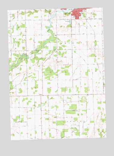
Alma South, MI USGS Topographic Map
Click on map above to begin viewing in our Map Viewer.

This topographic map contains these locations and features:
Feature Name Type Latitude Longitude GNIS ID View Map
Alma Church of the NazareneChurchN43.3697°W84.6581°2561889View Map
Bailey CemeteryCemeteryN43.3639°W84.6264°620444View Map
Bailey SchoolSchoolN43.3645°W84.6272°620460View Map
Ely ChurchChurchN43.3495°W84.6869°625547View Map
EugenePopulated PlaceN43.2923°W84.7069°1617548View Map
Eugene Post Office (historical)Post OfficeN43.2922°W84.7069°2562135View Map
Gratiot Community AirportAirportN43.3252°W84.6866°1623773View Map
Hillcrest SchoolSchoolN43.3703°W84.6556°628307View Map
Honeyoey CreekStreamN43.3678°W84.6931°628530View Map
Meadows Mobile Home ParkPopulated PlaceN43.3700°W84.6444°2561890View Map
Morse SchoolSchoolN43.3500°W84.6522°632737View Map
Newark and Arcadia DrainCanalN43.3136°W84.6444°633347View Map
Newark ChurchChurchN43.2623°W84.6603°633348View Map
Pine River ParkParkN43.3700°W84.6731°634992View Map
Pritchard CemeteryCemeteryN43.3684°W84.7478°635470View Map
Riverside CemeteryCemeteryN43.3706°W84.6689°635989View Map
Riverside ParkParkN43.3747°W84.6617°2561895View Map
Roosa Farm CemeteryCemeteryN43.2922°W84.7478°2562142View Map
Sumner Oil FieldOilfieldN43.3586°W84.7445°1623661View Map
Township of ArcadaCivilN43.3337°W84.6694°1625843View Map

Note: Coordinates in the location and feature list above are referenced to NAD83 datum.


Copyright (C) 2008-2025 Ryan Niemi / Sunset Dynamics ... All Rights Reserved