TopoQuest Logo
Do you find TopoQuest useful?
Help keep TopoQuest running and adding new maps/features by donating!
Bitcoin:  19c7KJd3qBynnjoSw5npx9KScwjBe4ifkT
Litecoin:  LXs6TkuXGGXo1vDsWCkWVdjQX94eUKd6ui
Home View Maps Find Maps Find Places Resources & Links


Caplen, Texas Topographic Map

USGS Map Title: Caplen, TX
USGS Map MRC: 29094D5
DRG (GeoTIFF) Download: o29094d5.tif


Neighboring USGS Topographic Map Quads:


  Lake Stephenson, TX  
29094E6
 

  Frozen Point, TX  
29094E5
 

  High Island, TX  
29094E4
 

  Flake, TX  
29094D6
 

  Caplen, TX  
29094D5


  The Jetties, TX  
29094C6


Map MRC Location:

N30°
W95°
N30°
W94°
H8 H7 H6 H5 H4 H3 H2 H1
G8 G7 G6 G5 G4 G3 G2 G1
F8 F7 F6 F5 F4 F3 F2 F1
E8 E7 E6 E5 E4 E3 E2 E1
D8 D7 D6 D5 D4 D3 D2 D1
C8 C7 C6 C5 C4 C3 C2 C1
B8 B7 B6 B5 B4 B3 B2 B1
A8 A7 A6 A5 A4 A3 A2 A1
N29°
W95°
N29°
W94°

Caplen, TX USGS 1:24K Topographic Map Preview:
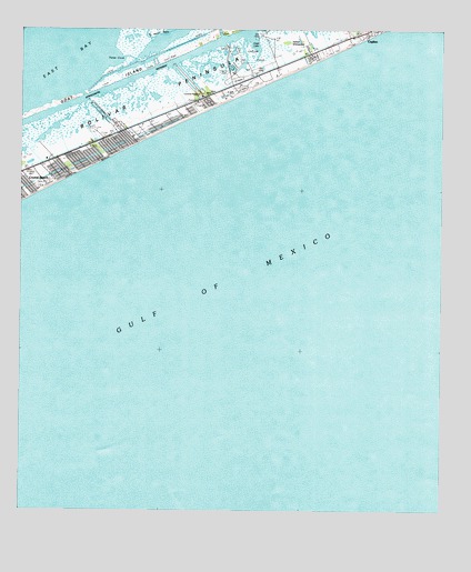
Caplen, TX USGS Topographic Map
Click on map above to begin viewing in our Map Viewer.

This topographic map contains these locations and features:
Feature Name Type Latitude Longitude GNIS ID View Map
Big Pasture BayouGutN29.4988°W94.5846°1330627View Map
Bolivar PeninsulaPopulated PlaceN29.4783°W94.5799°1852688View Map
Bolivar Peninsula Census Designated PlaceCensusN29.4847°W94.5672°2407877View Map
CaplenPopulated PlaceN29.4997°W94.5232°1332132View Map
Caplen Oil FieldAreaN29.4677°W94.5588°1384983View Map
Charpiot MarinaLocaleN29.4808°W94.6044°2030505View Map
Crab LakeLakeN29.4969°W94.5557°1333612View Map
Stingaree MarinaLocaleN29.4800°W94.6038°2030441View Map
The Breakers BuildingBuildingN29.4969°W94.5310°2032537View Map
Yates BayouBayN29.4930°W94.5927°1350648View Map
Yates CoveBayN29.4922°W94.5966°1350650View Map

Note: Coordinates in the location and feature list above are referenced to NAD83 datum.


Copyright (C) 2008-2025 Ryan Niemi / Sunset Dynamics ... All Rights Reserved