TopoQuest Logo
Do you find TopoQuest useful?
Help keep TopoQuest running and adding new maps/features by donating!
Bitcoin:  19c7KJd3qBynnjoSw5npx9KScwjBe4ifkT
Litecoin:  LXs6TkuXGGXo1vDsWCkWVdjQX94eUKd6ui
Home View Maps Find Maps Find Places Resources & Links


Eagle Pass West, Texas Topographic Map

USGS Map Title: Eagle Pass West, TX
USGS Map MRC: 28100F5
DRG (GeoTIFF) Download: o28100f5.tif


Neighboring USGS Topographic Map Quads:


  Quemado SE, TX  
28100G5
 

  Deadmans Hill, TX  
28100G4


  Eagle Pass West, TX  
28100F5
 

  Eagle Pass East, TX  
28100F4


  Eagle Pass SW, TX  
28100E4


Map MRC Location:

N29°
W101°
N29°
W100°
H8 H7 H6 H5 H4 H3 H2 H1
G8 G7 G6 G5 G4 G3 G2 G1
F8 F7 F6 F5 F4 F3 F2 F1
E8 E7 E6 E5 E4 E3 E2 E1
D8 D7 D6 D5 D4 D3 D2 D1
C8 C7 C6 C5 C4 C3 C2 C1
B8 B7 B6 B5 B4 B3 B2 B1
A8 A7 A6 A5 A4 A3 A2 A1
N28°
W101°
N28°
W100°

Eagle Pass West, TX USGS 1:24K Topographic Map Preview:
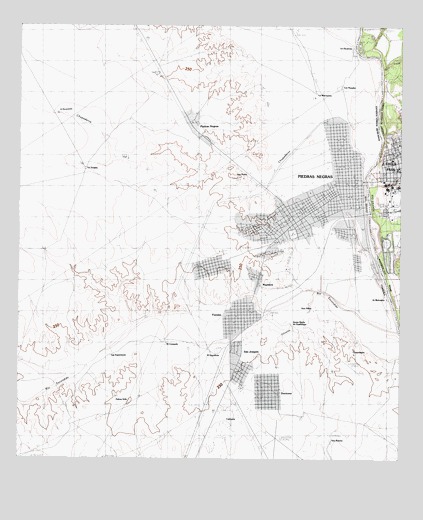
Eagle Pass West, TX USGS Topographic Map
Click on map above to begin viewing in our Map Viewer.

This topographic map contains these locations and features:
Feature Name Type Latitude Longitude GNIS ID View Map
Austin Elementary SchoolSchoolN28.7125°W100.5031°2007654View Map
De Luna Education CenterSchoolN28.7141°W100.5001°2007656View Map
Eagle Pass City HallBuildingN28.7056°W100.5010°2753664View Map
Eagle Pass Fire Department Charles P Rodrigues Station 1BuildingN28.7093°W100.5010°2551898View Map
Eagle Pass Police DepartmentBuildingN28.7054°W100.5009°2750463View Map
Elm CreekStreamN28.7436°W100.5104°1356958View Map
Episcopal Church of the RedeemerChurchN28.7133°W100.5029°2022432View Map
F RitcheLocaleN28.7425°W100.5062°1357148View Map
First Baptist ChurchChurchN28.7136°W100.5020°2022431View Map
Fort Duncan ParkParkN28.7005°W100.5020°2028306View Map
J RitcheLocaleN28.7475°W100.5131°1360068View Map
Lee Elementary SchoolSchoolN28.7089°W100.5012°2007665View Map
Maverick County Constable's Office Precinct 2BuildingN28.7055°W100.5011°2750756View Map
Maverick County CourthouseBuildingN28.7091°W100.5031°2030552View Map
P DeBonnerLocaleN28.7355°W100.5029°1364668View Map
Seco CreekStreamN28.7380°W100.5067°1367913View Map
Seco Mines Census Designated PlaceCensusN28.7468°W100.5026°2586987View Map

Note: Coordinates in the location and feature list above are referenced to NAD83 datum.


Copyright (C) 2008-2025 Ryan Niemi / Sunset Dynamics ... All Rights Reserved