TopoQuest Logo
Do you find TopoQuest useful?
Help keep TopoQuest running and adding new maps/features by donating!
Bitcoin:  19c7KJd3qBynnjoSw5npx9KScwjBe4ifkT
Litecoin:  LXs6TkuXGGXo1vDsWCkWVdjQX94eUKd6ui
Home View Maps Find Maps Find Places Resources & Links


Eden Valley, Oregon Topographic Map

USGS Map Title: Eden Valley, OR
USGS Map MRC: 42123G8
DRG (GeoTIFF) Download: o42123g8.tif


Neighboring USGS Topographic Map Quads:


  Powers, OR  
42124H1
 

  Rasler Creek, OR  
42123H8
 

  Bone Mountain, OR  
42123H7
 

  China Flat, OR  
42124G1
 

  Eden Valley, OR  
42123G8
 

  Mount Bolivar, OR  
42123G7
 

  Illahe, OR  
42124F1
 

  Marial, OR  
42123F8
 

  Kelsey Peak, OR  
42123F7


Map MRC Location:

N43°
W124°
N43°
W123°
H8 H7 H6 H5 H4 H3 H2 H1
G8 G7 G6 G5 G4 G3 G2 G1
F8 F7 F6 F5 F4 F3 F2 F1
E8 E7 E6 E5 E4 E3 E2 E1
D8 D7 D6 D5 D4 D3 D2 D1
C8 C7 C6 C5 C4 C3 C2 C1
B8 B7 B6 B5 B4 B3 B2 B1
A8 A7 A6 A5 A4 A3 A2 A1
N42°
W124°
N42°
W123°

Eden Valley, OR USGS 1:24K Topographic Map Preview:
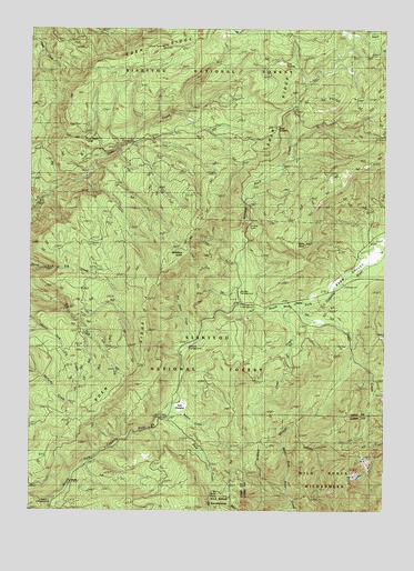
Eden Valley, OR USGS Topographic Map
Click on map above to begin viewing in our Map Viewer.

This topographic map contains these locations and features:
Feature Name Type Latitude Longitude GNIS ID View Map
Ash SwampSwampN42.7751°W123.9454°1137316View Map
Barker CreekStreamN42.7748°W123.9518°1137515View Map
Buck CreekStreamN42.7743°W123.9534°1138753View Map
Buck Creek CampgroundLocaleN42.7745°W123.9528°2754353View Map
Buck PointCliffN42.7571°W123.9373°1161290View Map
Camp HopeLocaleN42.7665°W123.9126°1139249View Map
Camp Number 2LocaleN42.8712°W123.9920°1139260View Map
Clear CreekStreamN42.8032°W123.9120°1139777View Map
Clear Creek CampLocaleN42.7762°W123.9220°1154627View Map
Coal Creek CampLocaleN42.8465°W123.9840°1161317View Map
Doe SwampSwampN42.8660°W123.9128°1141122View Map
Eden RidgeRidgeN42.7768°W123.9784°1141672View Map
Eden ValleyValleyN42.8051°W123.9031°1141673View Map
Eden Valley Recreation SiteLocaleN42.8090°W123.8909°1155930View Map
Elk Horn CreekStreamN42.7929°W123.9451°1141777View Map
Foggy CreekStreamN42.8034°W123.9079°1142283View Map
Foggy Creek CampLocaleN42.7998°W123.9012°1154628View Map
Gobblers KnobSummitN42.8162°W123.9468°1154626View Map
Lockhart Recreation SiteLocaleN42.7518°W123.9945°1926247View Map
Old Red MineMineN42.7546°W123.8990°1147206View Map
Pioneer Recreation SiteLocaleN42.8068°W123.9270°1159350View Map
Table RockSummitN42.8190°W123.9046°1161537View Map
Wooden Rock CreekStreamN42.8023°W123.9262°1152625View Map
Wooden Rock Guard StationLocaleN42.8021°W123.9279°1152627View Map

Note: Coordinates in the location and feature list above are referenced to NAD83 datum.


Copyright (C) 2008-2025 Ryan Niemi / Sunset Dynamics ... All Rights Reserved