TopoQuest Logo
Do you find TopoQuest useful?
Help keep TopoQuest running and adding new maps/features by donating!
Bitcoin:  19c7KJd3qBynnjoSw5npx9KScwjBe4ifkT
Litecoin:  LXs6TkuXGGXo1vDsWCkWVdjQX94eUKd6ui
Home View Maps Find Maps Find Places Resources & Links


McDermitt, Nevada Topographic Map

USGS Map Title: McDermitt, NV
USGS Map MRC: 41117H6
DRG (GeoTIFF) Download: o41117h6.tif


Neighboring USGS Topographic Map Quads:


  Boghole Spring, OR  
42117A7
 

  Tenmile Ranch, OR  
42117A6
 

  Hoppin Springs, OR  
42117A5
 

  Cordero Mine, NV  
41117H7
 

  McDermitt, NV  
41117H6
 

  McConnell Peak, NV  
41117H5
 

  Hoppin Peaks, NV  
41117G7
 

  South of McDermitt, NV  
41117G6
 

  Buckskin Mountain, NV  
41117G5


Map MRC Location:

N42°
W118°
N42°
W117°
H8 H7 H6 H5 H4 H3 H2 H1
G8 G7 G6 G5 G4 G3 G2 G1
F8 F7 F6 F5 F4 F3 F2 F1
E8 E7 E6 E5 E4 E3 E2 E1
D8 D7 D6 D5 D4 D3 D2 D1
C8 C7 C6 C5 C4 C3 C2 C1
B8 B7 B6 B5 B4 B3 B2 B1
A8 A7 A6 A5 A4 A3 A2 A1
N41°
W118°
N41°
W117°

McDermitt, NV USGS 1:24K Topographic Map Preview:
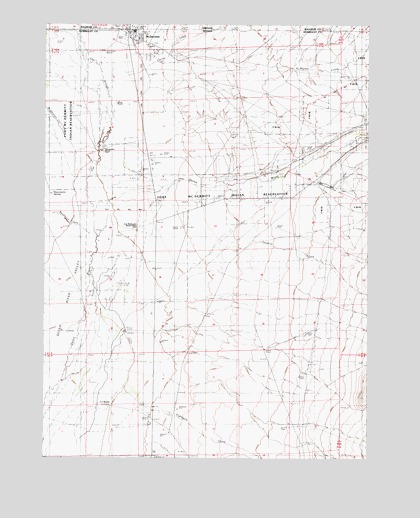
McDermitt, NV USGS Topographic Map
Click on map above to begin viewing in our Map Viewer.

This topographic map contains these locations and features:
Feature Name Type Latitude Longitude GNIS ID View Map
Corral CreekStreamN41.9849°W117.7190°854871View Map
Eightmile CreekStreamN41.8963°W117.7196°859656View Map
Fort McDermitt Census Designated PlaceCensusN41.9655°W117.6393°2583924View Map
Fort McDermitt Indian ReservationCivilN41.9560°W117.6575°859740View Map
Fort McDermitt Ranch HeadquartersLocaleN41.9407°W117.7151°845836View Map
Giacometto RanchLocaleN41.9632°W117.7285°840642View Map
Giacometto SpringSpringN41.9512°W117.7485°840643View Map
Great Basin College McDermitt Satellite CenterSchoolN41.9983°W117.7183°2087571View Map
Mc Dermitt Post OfficePost OfficeN41.9983°W117.7182°864345View Map
McDermittPopulated PlaceN41.9974°W117.7182°845557View Map
McDermitt CemeteryCemeteryN41.9945°W117.7094°842009View Map
McDermitt Census Designated PlaceCensusN41.9909°W117.7041°2408198View Map
McDermitt CreekStreamN41.9649°W117.7424°842010View Map
McDermitt Elementary SchoolSchoolN41.9971°W117.7182°858326View Map
McDermitt Fire Protection DistrictBuildingN41.9957°W117.7180°2581436View Map
McDermitt High SchoolSchoolN41.9982°W117.7165°855293View Map
McDermitt Post Office (historical)Post OfficeN41.9977°W117.7182°1165603View Map
Minor RanchLocaleN41.9777°W117.7232°845909View Map
Noques Nevada WellWellN41.9491°W117.7232°857399View Map
Saint Martin CreekStreamN41.9874°W117.6757°864193View Map
The SloughStreamN41.9466°W117.7318°846026View Map
Twomile CreekStreamN41.9341°W117.6832°861813View Map
UC RanchLocaleN41.8904°W117.7249°845990View Map
Washburn CreekStreamN41.9391°W117.7329°844654View Map

Note: Coordinates in the location and feature list above are referenced to NAD83 datum.


Copyright (C) 2008-2025 Ryan Niemi / Sunset Dynamics ... All Rights Reserved