TopoQuest Logo
Do you find TopoQuest useful?
Help keep TopoQuest running and adding new maps/features by donating!
Bitcoin:  19c7KJd3qBynnjoSw5npx9KScwjBe4ifkT
Litecoin:  LXs6TkuXGGXo1vDsWCkWVdjQX94eUKd6ui
Home View Maps Find Maps Find Places Resources & Links


Circle SW, Montana Topographic Map

USGS Map Title: Circle SW, MT
USGS Map MRC: 47105C6
DRG (GeoTIFF) Download: o47105c6.tif


Neighboring USGS Topographic Map Quads:


  Brockway NE, MT  
47105D7
 

  Youngquist Mine, MT  
47105D6
 

  Circle, MT  
47105D5
 

  Brockway, MT  
47105C7
 

  Circle SW, MT  
47105C6
 

  Quick Reservoir, MT  
47105C5
 

  Watkins, MT  
47105B7
 

  Big Sheep Mountain NW, MT  
47105B6
 

  Bearshack Creek, MT  
47105B5


Map MRC Location:

N48°
W106°
N48°
W105°
H8 H7 H6 H5 H4 H3 H2 H1
G8 G7 G6 G5 G4 G3 G2 G1
F8 F7 F6 F5 F4 F3 F2 F1
E8 E7 E6 E5 E4 E3 E2 E1
D8 D7 D6 D5 D4 D3 D2 D1
C8 C7 C6 C5 C4 C3 C2 C1
B8 B7 B6 B5 B4 B3 B2 B1
A8 A7 A6 A5 A4 A3 A2 A1
N47°
W106°
N47°
W105°

Circle SW, MT USGS 1:24K Topographic Map Preview:
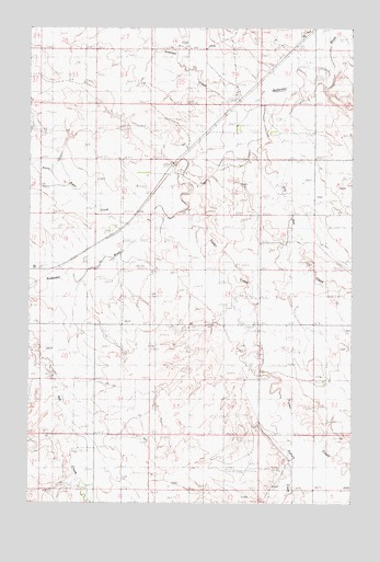
Circle SW, MT USGS Topographic Map
Click on map above to begin viewing in our Map Viewer.

This topographic map contains these locations and features:
Feature Name Type Latitude Longitude GNIS ID View Map
17N47E01BCDA01 WellWellN47.2620°W105.6783°821782View Map
17N47E04ACBA01 WellWellN47.2633°W105.7333°821787View Map
18N47E02DBCD01 WellWellN47.3447°W105.6914°822352View Map
18N47E10ADAA01 WellWellN47.3361°W105.7050°822288View Map
18N48E17BAA_01 WellWellN47.3192°W105.6303°822179View Map
19N47E25DBCB01 WellWellN47.3736°W105.6706°822520View Map
19N47E26CDDC01 WellWellN47.3700°W105.6944°822492View Map
19N47E26DCDD01 WellWellN47.3700°W105.6886°822491View Map
19N47E33DBBB01 WellWellN47.3614°W105.7347°822446View Map
19N47E36DCBB01 WellWellN47.3578°W105.6706°822430View Map
Antelope CreekStreamN47.3564°W105.6606°768290View Map
Brost CemeteryCemeteryN47.2972°W105.7464°1716221View Map
Dry Ash CreekStreamN47.3439°W105.6619°770756View Map
Friend SidingLocaleN47.3536°W105.6714°771641View Map
Harvard DamDamN47.3133°W105.7206°797721View Map
McCune CreekStreamN47.3717°W105.6258°773987View Map
Pasture CreekStreamN47.2761°W105.6531°775108View Map
R Mothershead DamDamN47.3167°W105.6489°796410View Map
Stony Butte CreekStreamN47.3253°W105.7031°777241View Map
Stony Butte Post Office (historical)Post OfficeN47.3083°W105.7133°1716160View Map
Stony Butte School (historical)SchoolN47.3083°W105.7133°1716159View Map
Tusler CreekStreamN47.3264°W105.6894°777819View Map

Note: Coordinates in the location and feature list above are referenced to NAD83 datum.


Copyright (C) 2008-2024 Ryan Niemi / Sunset Dynamics ... All Rights Reserved