|
|
|
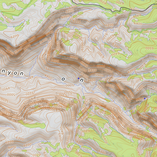
Box Elder Spring, Arizona
Box Elder Spring is a spring located in Coconino County, AZ at N36.545658° W112.493029° (WGS84/NAD83) and at an elevation of 5213 ft MSL.
It can be seen on the USGS 1:24K topographic map Sowats Spring, AZ.
| Feature Type: |
|
Spring |
| Latitude: |
|
N36.545658° (WGS84/NAD83 datum) |
| Longitude: |
|
W112.493029° |
| Elevation: |
|
5213 ft MSL |
| County: |
|
Coconino County, Arizona |
|
| USGS 24K Map: |
|
Sowats Spring, AZ |
| USGS 24K MRC: |
|
36112E4 |
You can view this location or feature in our Topographic Map Viewer by clicking
on the map views below:
USGS 1:24K topographic map:

Source: US Geological Survey
Aerial imagery:

Source: US National Map
OpenStreetMap:

Copyright OpenStreetMap contributors, map styling by TopoQuest
OpenTopoMap:
Copyright OpenStreetMap contributors, map styling by OpenTopoMap and TopoQuest
FAA VFR aeronautical chart::

Source: US Federal Aviation Administration
Click on a map above to begin viewing in our Map Viewer.
|
Here are some other places of interest near Box Elder Spring:
Note: Coordinates in the location and feature list above are referenced to NAD83 datum.
|
|
|
|
