TopoQuest Logo
Do you find TopoQuest useful?
Help keep TopoQuest running and adding new maps/features by donating!
Home View Maps Find Maps Find Places Resources & Links


Summit Creek, Montana

Summit Creek is a stream located in Big Horn County, MT at N45.237728° W108.675966° (WGS84/NAD83) and at an elevation of 4927 ft MSL.
It can be seen on the USGS 1:24K topographic map Bowler, MT.

Feature Type: Stream
Latitude: N45.237728° (WGS84/NAD83 datum)
Longitude: W108.675966°
Elevation: 4927 ft MSL
County: Big Horn County, Montana
USGS 24K Map: Bowler, MT
USGS 24K MRC: 45108B6

You can view this location or feature in our Topographic Map Viewer by clicking on the map views below:

USGS 1:24K topographic map:
USGS 24K topo map of Summit Creek, MT
Source: US Geological Survey

Aerial imagery:
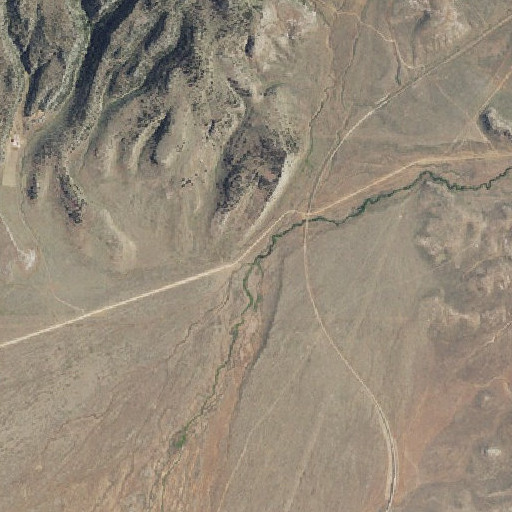
Aerial imagery of Summit Creek, MT
Source: US National Map

OpenStreetMap:
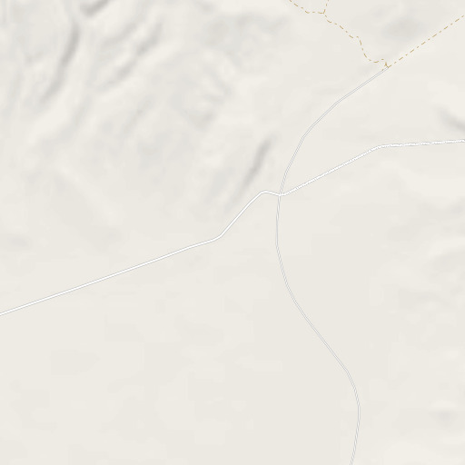
OpenStreetMap map of Summit Creek, MT
Copyright OpenStreetMap contributors, map styling by TopoQuest

OpenTopoMap:
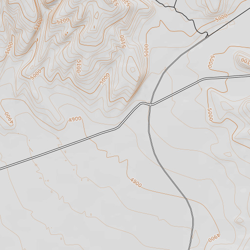
OpenTopoMap map of Summit Creek, MT
Copyright OpenStreetMap contributors, map styling by OpenTopoMap and TopoQuest

FAA VFR aeronautical chart::
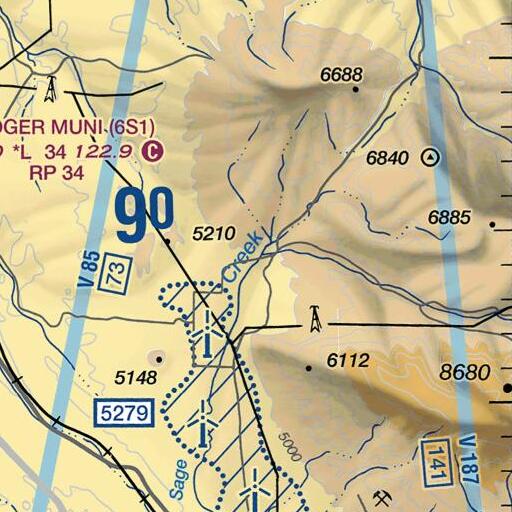
FAA VFR chart of Summit Creek, MT
Source: US Federal Aviation Administration


Click on a map above to begin viewing in our Map Viewer.

Here are some other places of interest near Summit Creek:

Feature Name Type Latitude Longitude Distance View Map
06S24E10DCDD01 WellWellN45.321060°W108.766249°7.2 miles  ↑View Map
06S24E15CA__01 SpringSpringN45.311893°W108.772916°7.0 miles  ↑View Map
06S24E15DB__01 SpringSpringN45.311616°W108.767360°6.8 miles  ↑View Map
06S24E22CA__01 SpringSpringN45.296893°W108.774860°6.3 miles  ↑View Map
06S24E27AB__01 SpringSpringN45.291615°W108.769582°5.9 miles  ↑View Map
07S24E25AAAA01 WellWellN45.204672°W108.719579°3.1 miles  ↑View Map
07S25E23CABB01 WellWellN45.211339°W108.631520°2.8 miles  ↑View Map
07S25E28AAA_01 WellWellN45.204394°W108.660410°2.4 miles  ↑View Map
08S25E04CCC_01 WellWellN45.161617°W108.678188°5.3 miles  ↑View Map
08S25E06DCDC01 WellWellN45.153839°W108.705966°6.0 miles  ↑View Map
Bear SpringSpringN45.175784°W108.617074°5.2 miles  ↑View Map
Bent SpringSpringN45.175784°W108.597074°5.8 miles  ↑View Map
Bent TrailTrailN45.171340°W108.593185°6.1 miles  ↑View Map
Black ButteSummitN45.189671°W108.743190°4.7 miles  ↑View Map
BowlerPopulated PlaceN45.204949°W108.719023°3.1 miles  ↑View Map
Bowler (historical)LocaleN45.204949°W108.719023°3.1 miles  ↑View Map
Bowler CemeteryCemeteryN45.149110°W108.702621°6.3 miles  ↑View Map
Bowler FlatsFlatN45.216061°W108.708745°2.2 miles  ↑View Map
Bowler Post Office (historical)Post OfficeN45.204949°W108.719023°3.1 miles  ↑View Map
Bowler School (historical)SchoolN45.194394°W108.720134°3.7 miles  ↑View Map
Crockett (historical)LocaleN45.285506°W108.610409°4.6 miles  ↑View Map
East Carbon DivisionCivilN45.175694°W108.654205°4.4 miles  ↑View Map
Indian SpringSpringN45.221618°W108.580685°4.8 miles  ↑View Map
Ingram SpringSpringN45.171868°W108.578755°6.6 miles  ↑View Map
King TrailTrailN45.144951°W108.591517°7.6 miles  ↑View Map
Marlew Number 2 DamDamN45.146616°W108.724022°6.7 miles  ↑View Map
Miller TrailTrailN45.190228°W108.639298°3.7 miles  ↑View Map
Parker CabinLocaleN45.243004°W108.759581°4.1 miles  ↑View Map
Pryor GapGapN45.292451°W108.602353°5.2 miles  ↑View Map
Ruckavina Well Number OneWellN45.321060°W108.766527°7.2 miles  ↑View Map
Section House DrawValleyN45.239394°W108.674300°0.1 miles  ↑View Map
South Fork Bluewater CreekStreamN45.290782°W108.755692°5.3 miles  ↑View Map
Summit CreekStreamN45.237728°W108.675966°0.0 milesView Map
Teeples Ranch CemeteryCemeteryN45.323831°W108.775682°7.7 miles  ↑View Map
Timber CanyonValleyN45.157172°W108.665687°5.6 miles  ↑View Map
Water CanyonValleyN45.151894°W108.659853°6.0 miles  ↑View Map
West Pryor MountainSummitN45.320784°W108.612354°6.5 miles  ↑View Map

Note: Coordinates in the location and feature list above are referenced to NAD83 datum.


Copyright (C) 2008-2026 Ryan Niemi / Sunset Dynamics ... All Rights Reserved
