|
|
|
Hoodoo Creek, Wyoming
Hoodoo Creek is a stream located in Park County, WY at N44.833834° W109.685174° (WGS84/NAD83) and at an elevation of 6574 ft MSL.
It can be seen on the USGS 1:24K topographic map Hunter Peak, WY.
| Feature Type: |
|
Stream |
| Latitude: |
|
N44.833834° (WGS84/NAD83 datum) |
| Longitude: |
|
W109.685174° |
| Elevation: |
|
6574 ft MSL |
| County: |
|
Park County, Wyoming |
|
| USGS 24K Map: |
|
Hunter Peak, WY |
| USGS 24K MRC: |
|
44109G6 |
You can view this location or feature in our Topographic Map Viewer by clicking
on the map views below:
USGS 1:24K topographic map:
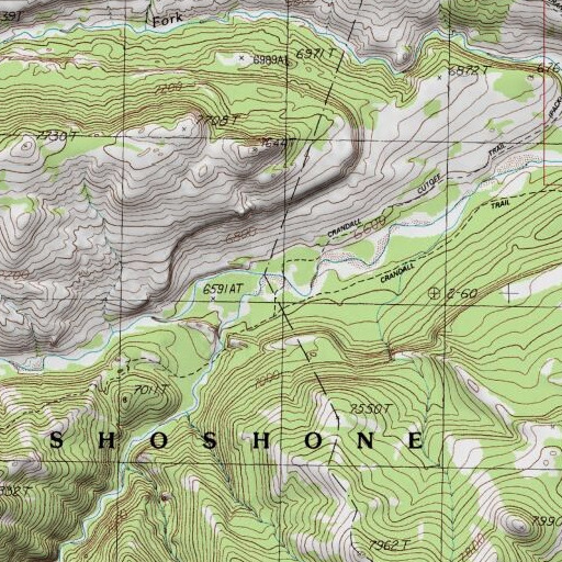
Source: US Geological Survey
Aerial imagery:

Source: US National Map
OpenStreetMap:
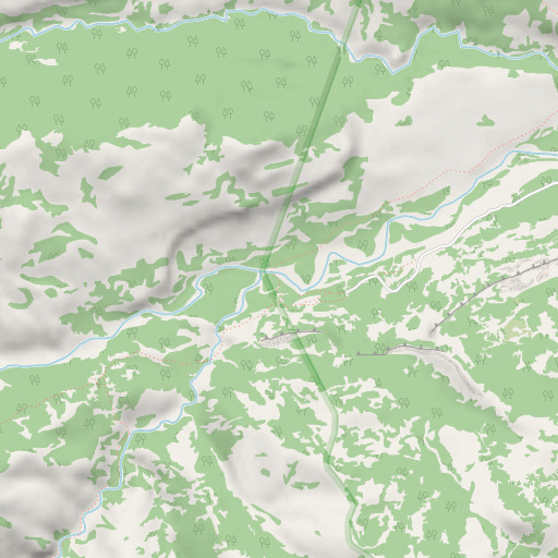
Copyright OpenStreetMap contributors, map styling by TopoQuest
OpenTopoMap:

Copyright OpenStreetMap contributors, map styling by OpenTopoMap and TopoQuest
FAA VFR aeronautical chart::
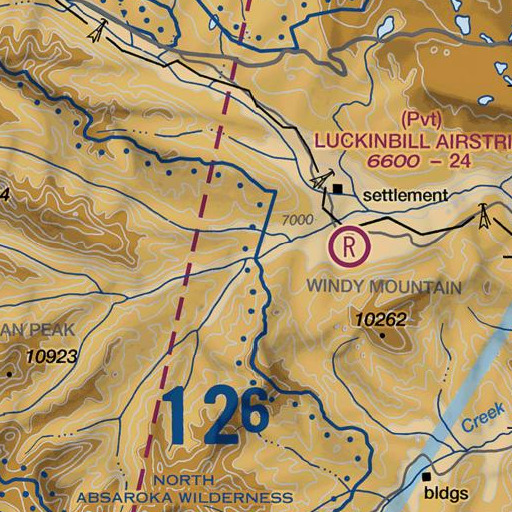
Source: US Federal Aviation Administration
Click on a map above to begin viewing in our Map Viewer.
|
Here are some other places of interest near Hoodoo Creek:
Note: Coordinates in the location and feature list above are referenced to NAD83 datum.
|
|
|
|
