TopoQuest Logo
Do you find TopoQuest useful?
Help keep TopoQuest running and adding new maps/features by donating!
Bitcoin:  19c7KJd3qBynnjoSw5npx9KScwjBe4ifkT
Litecoin:  LXs6TkuXGGXo1vDsWCkWVdjQX94eUKd6ui
Home View Maps Find Maps Find Places Resources & Links


Daykin, Nebraska Topographic Map

USGS Map Title: Daykin, NE
USGS Map MRC: 40097C3
DRG (GeoTIFF) Download: o40097c3.tif


Neighboring USGS Topographic Map Quads:


  Ohiowa, NE  
40097D4
 

  Tobias, NE  
40097D3
 

  Western, NE  
40097D2
 

  Tobias SW, NE  
40097C4
 

  Daykin, NE  
40097C3
 

  Western SW, NE  
40097C2
 

  Alexandria, NE  
40097B4
 

  Gladstone, NE  
40097B3
 

  Fairbury, NE  
40097B2


Map MRC Location:

N41°
W98°
N41°
W97°
H8 H7 H6 H5 H4 H3 H2 H1
G8 G7 G6 G5 G4 G3 G2 G1
F8 F7 F6 F5 F4 F3 F2 F1
E8 E7 E6 E5 E4 E3 E2 E1
D8 D7 D6 D5 D4 D3 D2 D1
C8 C7 C6 C5 C4 C3 C2 C1
B8 B7 B6 B5 B4 B3 B2 B1
A8 A7 A6 A5 A4 A3 A2 A1
N40°
W98°
N40°
W97°

Daykin, NE USGS 1:24K Topographic Map Preview:
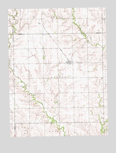
Daykin, NE USGS Topographic Map
Click on map above to begin viewing in our Map Viewer.

This topographic map contains these locations and features:
Feature Name Type Latitude Longitude GNIS ID View Map
DaykinPopulated PlaceN40.3222°W97.2987°828609View Map
DaykinLocaleN40.3228°W97.2967°1882877View Map
Daykin Post OfficePost OfficeN40.3225°W97.2993°1882878View Map
Daykin Public LibraryBuildingN40.3222°W97.2987°1882876View Map
Daykin Volunteer Fire and RescueBuildingN40.3226°W97.2989°2553339View Map
Eureka CemeteryCemeteryN40.3497°W97.3311°829155View Map
Eureka Election PrecinctCivilN40.3066°W97.3121°1928864View Map
Farmers Co-operative ElevatorLocaleN40.3222°W97.2987°1882881View Map
HelveyPopulated PlaceN40.2667°W97.2550°835322View Map
Helvey Post Office (historical)Post OfficeN40.2667°W97.2550°1882765View Map
Meridian Public SchoolsSchoolN40.3208°W97.3306°1882880View Map
Saint Johns CemeteryCemeteryN40.3214°W97.2834°832893View Map
Saint Johns Lutheran ChurchChurchN40.3222°W97.2987°1882879View Map
Township of EurekaCivilN40.3056°W97.3003°1882871View Map
Village of DaykinCivilN40.3217°W97.2983°2398691View Map

Note: Coordinates in the location and feature list above are referenced to NAD83 datum.


Copyright (C) 2008-2025 Ryan Niemi / Sunset Dynamics ... All Rights Reserved