TopoQuest Logo
Do you find TopoQuest useful?
Help keep TopoQuest running and adding new maps/features by donating!
Bitcoin:  19c7KJd3qBynnjoSw5npx9KScwjBe4ifkT
Litecoin:  LXs6TkuXGGXo1vDsWCkWVdjQX94eUKd6ui
Home View Maps Find Maps Find Places Resources & Links


Enid SE, Montana Topographic Map

USGS Map Title: Enid SE, MT
USGS Map MRC: 47104E7
DRG (GeoTIFF) Download: o47104e7.tif


Neighboring USGS Topographic Map Quads:


  Kuester Lake, MT  
47104F8
 

  Enid, MT  
47104F7
 

  Fox Lake, MT  
47104F6
 

  Clay Butte, MT  
47104E8
 

  Enid SE, MT  
47104E7
 

  Butler Table, MT  
47104E6
 

  Bloomfield, MT  
47104D8
 

  Red Top, MT  
47104D7
 

  Intake NW, MT  
47104D6


Map MRC Location:

N48°
W105°
N48°
W104°
H8 H7 H6 H5 H4 H3 H2 H1
G8 G7 G6 G5 G4 G3 G2 G1
F8 F7 F6 F5 F4 F3 F2 F1
E8 E7 E6 E5 E4 E3 E2 E1
D8 D7 D6 D5 D4 D3 D2 D1
C8 C7 C6 C5 C4 C3 C2 C1
B8 B7 B6 B5 B4 B3 B2 B1
A8 A7 A6 A5 A4 A3 A2 A1
N47°
W105°
N47°
W104°

Enid SE, MT USGS 1:24K Topographic Map Preview:
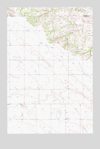
Enid SE, MT USGS Topographic Map
Click on map above to begin viewing in our Map Viewer.

This topographic map contains these locations and features:
Feature Name Type Latitude Longitude GNIS ID View Map
20N54E01CBBB01 WellWellN47.5208°W104.7894°823573View Map
20N54E01DCDD01 WellWellN47.5145°W104.7755°823519View Map
20N54E02BCAA01 WellWellN47.5331°W104.8108°823642View Map
20N55E06BBBB01 WellWellN47.5289°W104.7686°823621View Map
20N55E06CDCC01 WellWellN47.5145°W104.7627°823518View Map
21N53E01DCCB01 WellWellN47.6033°W104.8608°824008View Map
21N54E04BCCB01 WellWellN47.6106°W104.8077°824046View Map
21N54E08CDDD01 WellWellN47.5878°W104.8191°823913View Map
21N54E14CACB01 WellWellN47.5772°W104.7586°823847View Map
21N54E22CBDD01 WellWellN47.5625°W104.7819°823782View Map
21N54E32ABBB01 WellWellN47.5436°W104.8175°823691View Map
21N54E33DCAC01 WellWellN47.5317°W104.7936°823636View Map
Bethlehem Mennonite CemeteryCemeteryN47.5275°W104.8741°1954687View Map
Eastern Montana Bible CampLocaleN47.5814°W104.7758°771121View Map
Farview School (historical)SchoolN47.5867°W104.8500°1715528View Map
Fatzinger DamDamN47.5200°W104.7972°795089View Map
Independent School (historical)SchoolN47.5145°W104.8750°1715537View Map
Klempel CemeteryCemeteryN47.5780°W104.7576°773026View Map
Retah Post Office (historical)Post OfficeN47.5592°W104.8283°1715350View Map
Senner ReservoirReservoirN47.5217°W104.8155°795468View Map
Senner Reservoir DamDamN47.5217°W104.8155°795467View Map
South Valley ChurchChurchN47.5145°W104.7900°776912View Map
South Valley School (historical)SchoolN47.5214°W104.8005°1715572View Map
Strapp School (historical)SchoolN47.5372°W104.8297°1715577View Map
Wishbone DamDamN47.6217°W104.7539°798089View Map

Note: Coordinates in the location and feature list above are referenced to NAD83 datum.


Copyright (C) 2008-2025 Ryan Niemi / Sunset Dynamics ... All Rights Reserved