TopoQuest Logo
Do you find TopoQuest useful?
Help keep TopoQuest running and adding new maps/features by donating!
Bitcoin:  19c7KJd3qBynnjoSw5npx9KScwjBe4ifkT
Litecoin:  LXs6TkuXGGXo1vDsWCkWVdjQX94eUKd6ui
Home View Maps Find Maps Find Places Resources & Links


Fairchild, Wisconsin Topographic Map

USGS Map Title: Fairchild, WI
USGS Map MRC: 44090E8
DRG (GeoTIFF) Download: o44090e8.tif


Neighboring USGS Topographic Map Quads:


  Augusta East, WI  
44091F1
 

  Horse Creek, WI  
44090F8
 

  Rock Dam Lake, WI  
44090F7
 

  Price, WI  
44091E1
 

  Fairchild, WI  
44090E8
 

  Wildcat Mound, WI  
44090E7
 

  Hixton, WI  
44091D1
 

  Alma Center, WI  
44090D8
 

  Merrillan, WI  
44090D7


Map MRC Location:

N45°
W91°
N45°
W90°
H8 H7 H6 H5 H4 H3 H2 H1
G8 G7 G6 G5 G4 G3 G2 G1
F8 F7 F6 F5 F4 F3 F2 F1
E8 E7 E6 E5 E4 E3 E2 E1
D8 D7 D6 D5 D4 D3 D2 D1
C8 C7 C6 C5 C4 C3 C2 C1
B8 B7 B6 B5 B4 B3 B2 B1
A8 A7 A6 A5 A4 A3 A2 A1
N44°
W91°
N44°
W90°

Fairchild, WI USGS 1:24K Topographic Map Preview:
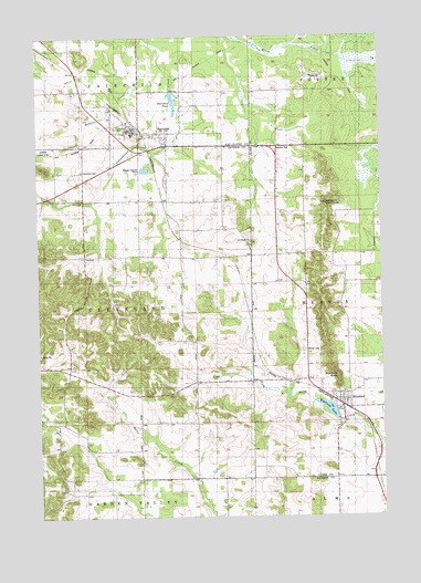
Fairchild, WI USGS Topographic Map
Click on map above to begin viewing in our Map Viewer.

This topographic map contains these locations and features:
Feature Name Type Latitude Longitude GNIS ID View Map
Cleveland CemeteryCemeteryN44.5900°W90.9838°1563180View Map
Emerson LakeReservoirN44.5280°W90.8951°1791873View Map
FairchildPopulated PlaceN44.6002°W90.9629°1564804View Map
Fairchild C4772 DamDamN44.6105°W90.9510°1793497View Map
Fairchild Elementary SchoolSchoolN44.5997°W90.9655°1846663View Map
Fairchild Fire Protection DistrictBuildingN44.6016°W90.9733°2697669View Map
Fairchild Police DepartmentBuildingN44.6017°W90.9704°2759916View Map
Fairchild PondReservoirN44.6080°W90.9503°1564805View Map
HumbirdPopulated PlaceN44.5291°W90.8893°1566795View Map
Humbird BluffCliffN44.5369°W90.8915°1566796View Map
Humbird Census Designated PlaceCensusN44.5295°W90.8860°2586507View Map
Humbird DamDamN44.5250°W90.8918°1791872View Map
Humbird Volunteer Fire DepartmentBuildingN44.5295°W90.8895°2697575View Map
Lone Pine School (historical)SchoolN44.6111°W90.9024°1837689View Map
McGaver CreekStreamN44.6241°W90.9604°1569216View Map
Mentor CemeteryCemeteryN44.5433°W90.9038°1569352View Map
Saint Joseph ChurchChurchN44.5711°W90.9235°1573162View Map
Sunnybrook School (historical)SchoolN44.5825°W90.9838°1845519View Map
Sunnyside School (historical)SchoolN44.5439°W90.9229°1845520View Map
Town of ClevelandCivilN44.5532°W90.9834°1582975View Map
Twin Mound Lookout TowerTowerN44.5814°W90.8949°1837747View Map
Van Horn School (historical)SchoolN44.5022°W90.9332°1845531View Map
Village of FairchildCivilN44.6036°W90.9577°1583184View Map

Note: Coordinates in the location and feature list above are referenced to NAD83 datum.


Copyright (C) 2008-2025 Ryan Niemi / Sunset Dynamics ... All Rights Reserved