TopoQuest Logo
Do you find TopoQuest useful?
Help keep TopoQuest running and adding new maps/features by donating!
Bitcoin:  19c7KJd3qBynnjoSw5npx9KScwjBe4ifkT
Litecoin:  LXs6TkuXGGXo1vDsWCkWVdjQX94eUKd6ui
Home View Maps Find Maps Find Places Resources & Links


Grant, Montana Topographic Map

USGS Map Title: Grant, MT
USGS Map MRC: 45113A1
DRG (GeoTIFF) Download: o45113a1.tif


Neighboring USGS Topographic Map Quads:


  Brays Canyon, MT  
45113B2
 

  Mill Point, MT  
45113B1
 

  Bannack, MT  
45112B8
 

  Bachelor Mountain, MT  
45113A2
 

  Grant, MT  
45113A1
 

  Eli Spring, MT  
45112A8
 

  Jeff Davis Peak, MT  
44113H2
 

  Hansen Ranch, MT  
44113H1
 

  Garfield Canyon, MT  
44112H8


Map MRC Location:

N46°
W114°
N46°
W113°
H8 H7 H6 H5 H4 H3 H2 H1
G8 G7 G6 G5 G4 G3 G2 G1
F8 F7 F6 F5 F4 F3 F2 F1
E8 E7 E6 E5 E4 E3 E2 E1
D8 D7 D6 D5 D4 D3 D2 D1
C8 C7 C6 C5 C4 C3 C2 C1
B8 B7 B6 B5 B4 B3 B2 B1
A8 A7 A6 A5 A4 A3 A2 A1
N45°
W114°
N45°
W113°

Grant, MT USGS 1:24K Topographic Map Preview:
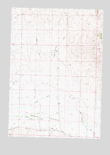
Grant, MT USGS Topographic Map
Click on map above to begin viewing in our Map Viewer.

This topographic map contains these locations and features:
Feature Name Type Latitude Longitude GNIS ID View Map
08S12W32CDDD01 WellWellN45.0899°W113.1025°807859View Map
09S12W03BDAC01 WellWellN45.0841°W113.0609°807803View Map
09S12W08ACDA01 WellWellN45.0691°W113.0956°807691View Map
09S12W11BBDD01 WellWellN45.0710°W113.0448°807720View Map
09S12W13ACBD01 WellWellN45.0544°W113.0159°807570View Map
09S12W14ACAD01 WellWellN45.0549°W113.0342°807575View Map
09S12W18DDAD01 WellWellN45.0483°W113.1109°807533View Map
09S12W18DDAD02 WellWellN45.0485°W113.1109°807537View Map
09S12W22DCBB01 WellWellN45.0341°W113.0586°807441View Map
09S12W22DCBD01 WellWellN45.0330°W113.0581°807436View Map
09S12W22DCBD02 WellWellN45.0330°W113.0581°807437View Map
09S12W29CBBB01 WellWellN45.0238°W113.1106°807373View Map
09S12W33DAAA01 WellWellN45.0088°W113.0703°807302View Map
09S12W34CBAB01 WellWellN45.0088°W113.0673°807301View Map
Amesville Post Office (historical)Post OfficeN45.0099°W113.1111°1797113View Map
Badger GulchValleyN45.0535°W113.0809°779244View Map
Bannack Bench WindmillLocaleN45.0833°W113.0603°768494View Map
Bannock Bench WellWellN45.0841°W113.0606°806893View Map
Barrett CreekStreamN45.0085°W113.0584°779382View Map
Cross RanchLocaleN45.0330°W113.0575°770328View Map
Cross Ranch DitchCanalN45.0377°W113.1123°781918View Map
Dunlap CreekStreamN45.0319°W113.0359°782706View Map
GrantPopulated PlaceN45.0085°W113.0670°771922View Map
Grant (historical)LocaleN45.0085°W113.0670°1797346View Map
Grant Fire DepartmentBuildingN45.0088°W113.0705°1797068View Map
Grant Post Office (historical)Post OfficeN45.0085°W113.0670°1797240View Map
Grant SchoolSchoolN45.0077°W113.0644°1797122View Map
Hans Peterson DitchCanalN45.0433°W113.0520°772124View Map
Horse PrairieFlatN45.0199°W113.1028°785058View Map
Jagger DitchCanalN45.0316°W113.0273°772786View Map
Knox Station (historical)LocaleN45.0416°W113.0592°1797357View Map
Paiment DitchCanalN45.0133°W113.0723°788582View Map
Rocky WellWellN45.0713°W113.0445°806885View Map
Rocky WindmillLocaleN45.0708°W113.0453°775906View Map
Sheep Corral GulchValleyN45.0499°W113.0611°776428View Map

Note: Coordinates in the location and feature list above are referenced to NAD83 datum.


Copyright (C) 2008-2025 Ryan Niemi / Sunset Dynamics ... All Rights Reserved