TopoQuest Logo
Do you find TopoQuest useful?
Help keep TopoQuest running and adding new maps/features by donating!
Bitcoin:  19c7KJd3qBynnjoSw5npx9KScwjBe4ifkT
Litecoin:  LXs6TkuXGGXo1vDsWCkWVdjQX94eUKd6ui
Home View Maps Find Maps Find Places Resources & Links


Hewitt, Wisconsin Topographic Map

USGS Map Title: Hewitt, WI
USGS Map MRC: 44090F1
DRG (GeoTIFF) Download: o44090f1.tif


Neighboring USGS Topographic Map Quads:


  Little Rose, WI  
44090G2
 

  Stratford, WI  
44090G1
 

  Marathon SW, WI  
44089G8
 

  Marshfield, WI  
44090F2
 

  Hewitt, WI  
44090F1
 

  Honey Island, WI  
44089F8
 

  Lake Manakiki, WI  
44090E2
 

  Arpin, WI  
44090E1
 

  Sherry, WI  
44089E8


Map MRC Location:

N45°
W91°
N45°
W90°
H8 H7 H6 H5 H4 H3 H2 H1
G8 G7 G6 G5 G4 G3 G2 G1
F8 F7 F6 F5 F4 F3 F2 F1
E8 E7 E6 E5 E4 E3 E2 E1
D8 D7 D6 D5 D4 D3 D2 D1
C8 C7 C6 C5 C4 C3 C2 C1
B8 B7 B6 B5 B4 B3 B2 B1
A8 A7 A6 A5 A4 A3 A2 A1
N44°
W91°
N44°
W90°

Hewitt, WI USGS 1:24K Topographic Map Preview:
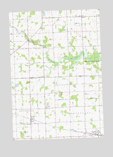
Hewitt, WI USGS Topographic Map
Click on map above to begin viewing in our Map Viewer.

This topographic map contains these locations and features:
Feature Name Type Latitude Longitude GNIS ID View Map
AuburndalePopulated PlaceN44.6269°W90.0076°1561008View Map
Auburndale CemeteryCemeteryN44.6336°W90.0454°1561009View Map
Auburndale Elementary SchoolSchoolN44.6293°W90.0110°1846980View Map
Auburndale High SchoolSchoolN44.6314°W90.0069°1846981View Map
Auburndale Joint Fire DepartmentBuildingN44.6279°W90.0086°2698177View Map
Dodge SchoolSchoolN44.7002°W90.0807°1564024View Map
Dodge School (historical)SchoolN44.7000°W90.0810°1844092View Map
Evergreen Hill SchoolSchoolN44.6691°W90.1199°1564770View Map
Evergreen Hill School (historical)SchoolN44.6691°W90.1199°1847006View Map
HewittPopulated PlaceN44.6450°W90.1001°1566338View Map
Hewitt Area Volunteer Fire DepartmentBuildingN44.6464°W90.0974°2697833View Map
Hillside School (historical)SchoolN44.6705°W90.0549°1566473View Map
Immanuel CemeteryCemeteryN44.6400°W90.1010°1964375View Map
Immanuel Lutheran ChurchChurchN44.6400°W90.1004°1847035View Map
North Auburndale CemeteryCemeteryN44.6677°W90.0246°1570350View Map
Pleasant Hill SchoolSchoolN44.6780°W90.0046°1571607View Map
Pleasant Hill School (historical)SchoolN44.6777°W90.0051°1847075View Map
Riverside School (historical)SchoolN44.7258°W90.0951°1572382View Map
RozellvillePopulated PlaceN44.7433°W90.0246°1572702View Map
Saint Johns Lutheran ChurchChurchN44.6297°W90.0076°1847097View Map
Saint Mary Grade SchoolSchoolN44.6286°W90.0126°1847102View Map
Saint Marys Catholic ChurchChurchN44.6283°W90.0129°1847103View Map
Saint Marys CemeteryCemeteryN44.6297°W90.0126°1964377View Map
Saint Michaels Catholic ChurchChurchN44.6475°W90.0993°1847104View Map
Saint Michaels CemeteryCemeteryN44.6477°W90.0982°1964378View Map
Scheuer CreekStreamN44.6930°W90.0707°1573780View Map
Squaw CreekStreamN44.6933°W90.0626°1574765View Map
Stratford Area Fire Department Station 2BuildingN44.7405°W90.0255°2696837View Map
Town of AuburndaleCivilN44.6424°W90.0226°1582732View Map
Town of DayCivilN44.7285°W90.0217°1583054View Map
Village of AuburndaleCivilN44.6268°W90.0143°1582731View Map
Village of HewittCivilN44.6426°W90.1048°1583384View Map
White Oak School (historical)SchoolN44.6258°W90.0560°1576645View Map
Wild CreekStreamN44.7019°W90.0135°1576728View Map

Note: Coordinates in the location and feature list above are referenced to NAD83 datum.


Copyright (C) 2008-2025 Ryan Niemi / Sunset Dynamics ... All Rights Reserved