TopoQuest Logo
Do you find TopoQuest useful?
Help keep TopoQuest running and adding new maps/features by donating!
Bitcoin:  19c7KJd3qBynnjoSw5npx9KScwjBe4ifkT
Litecoin:  LXs6TkuXGGXo1vDsWCkWVdjQX94eUKd6ui
Home View Maps Find Maps Find Places Resources & Links


Horse Creek, Montana Topographic Map

USGS Map Title: Horse Creek, MT
USGS Map MRC: 46105B6
DRG (GeoTIFF) Download: o46105b6.tif


Neighboring USGS Topographic Map Quads:


  Paddy Fay Creek, MT  
46105C7
 

  Whitney Creek, MT  
46105C6
 

  Government Hill SE, MT  
46105C5
 

  Circle L Creek, MT  
46105B7
 

  Horse Creek, MT  
46105B6
 

  First Creek, MT  
46105B5
 

  Jack Creek, MT  
46105A7
 

  Beebe SW, MT  
46105A6
 

  Beebe, MT  
46105A5


Map MRC Location:

N47°
W106°
N47°
W105°
H8 H7 H6 H5 H4 H3 H2 H1
G8 G7 G6 G5 G4 G3 G2 G1
F8 F7 F6 F5 F4 F3 F2 F1
E8 E7 E6 E5 E4 E3 E2 E1
D8 D7 D6 D5 D4 D3 D2 D1
C8 C7 C6 C5 C4 C3 C2 C1
B8 B7 B6 B5 B4 B3 B2 B1
A8 A7 A6 A5 A4 A3 A2 A1
N46°
W106°
N46°
W105°

Horse Creek, MT USGS 1:24K Topographic Map Preview:
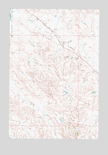
Horse Creek, MT USGS Topographic Map
Click on map above to begin viewing in our Map Viewer.

This topographic map contains these locations and features:
Feature Name Type Latitude Longitude GNIS ID View Map
04N49E04ABCD01 WellWellN46.1344°W105.6378°814156View Map
05N48E02DBDA01 WellWellN46.2147°W105.6811°814620View Map
05N48E28BDBA01 WellWellN46.1619°W105.7308°814317View Map
Cutler (historical)Populated PlaceN46.2425°W105.7478°1716891View Map
Cutler Post Office (historical)Post OfficeN46.2425°W105.7478°1716890View Map
Dug Long HillSummitN46.2028°W105.6536°770885View Map
Grace Community ChurchChurchN46.2278°W105.7492°1716835View Map
Gravel HillSummitN46.2039°W105.6714°771940View Map
Gray Dutch Inn (historical)LocaleN46.2242°W105.6903°1716876View Map
Horse CreekStreamN46.1967°W105.6280°772535View Map
Johnson CreekStreamN46.2133°W105.6478°772866View Map
Muri Number 4 DamDamN46.2367°W105.6455°796773View Map
Nichols DamDamN46.2433°W105.6872°798807View Map
Pine Hill ReservoirReservoirN46.1699°W105.6315°775244View Map
Pine Hills DamDamN46.1717°W105.6322°796770View Map
Rodgers DamDamN46.2117°W105.6805°795077View Map
Rogers Number 2 DamDamN46.1983°W105.7222°796769View Map
Twelve Mile Dam Fishing Access SiteLocaleN46.2436°W105.7489°1744443View Map

Note: Coordinates in the location and feature list above are referenced to NAD83 datum.


Copyright (C) 2008-2025 Ryan Niemi / Sunset Dynamics ... All Rights Reserved