TopoQuest Logo
Do you find TopoQuest useful?
Help keep TopoQuest running and adding new maps/features by donating!
Bitcoin:  19c7KJd3qBynnjoSw5npx9KScwjBe4ifkT
Litecoin:  LXs6TkuXGGXo1vDsWCkWVdjQX94eUKd6ui
Home View Maps Find Maps Find Places Resources & Links


Ironside, Oregon Topographic Map

USGS Map Title: Ironside, OR
USGS Map MRC: 44117C8
DRG (GeoTIFF) Download: o44117c8.tif


Neighboring USGS Topographic Map Quads:


  Hereford, OR  
44118D1
 

  Devils Heel, OR  
44117D8
 

  Wendt Butte, OR  
44117D7
 

  Eldorado Pass, OR  
44118C1
 

  Ironside, OR  
44117C8
 

  Cow Valley West, OR  
44117C7
 

  De Bord Peaks, OR  
44118B1
 

  Clover Creek Ranch, OR  
44117B8
 

  Scratch Post Butte, OR  
44117B7


Map MRC Location:

N45°
W118°
N45°
W117°
H8 H7 H6 H5 H4 H3 H2 H1
G8 G7 G6 G5 G4 G3 G2 G1
F8 F7 F6 F5 F4 F3 F2 F1
E8 E7 E6 E5 E4 E3 E2 E1
D8 D7 D6 D5 D4 D3 D2 D1
C8 C7 C6 C5 C4 C3 C2 C1
B8 B7 B6 B5 B4 B3 B2 B1
A8 A7 A6 A5 A4 A3 A2 A1
N44°
W118°
N44°
W117°

Ironside, OR USGS 1:24K Topographic Map Preview:
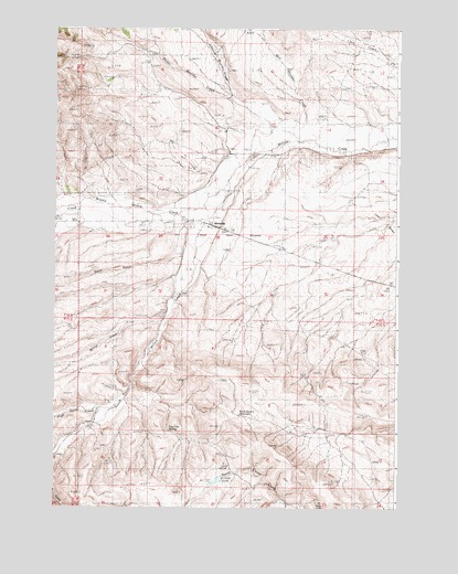
Ironside, OR USGS Topographic Map
Click on map above to begin viewing in our Map Viewer.

This topographic map contains these locations and features:
Feature Name Type Latitude Longitude GNIS ID View Map
Bradley CreekStreamN44.3582°W117.9649°1154084View Map
Bridge CreekStreamN44.3010°W117.9594°1138615View Map
Camp Colfax (historical)MilitaryN44.2714°W117.9889°1131950View Map
Dry CreekStreamN44.3288°W117.9905°1141290View Map
Duncan DitchCanalN44.3138°W117.9538°1131939View Map
Ferriers GulchValleyN44.2640°W117.9955°1142073View Map
High Horn CreekStreamN44.2763°W117.9788°1143568View Map
IronsidePopulated PlaceN44.3243°W117.9446°1136412View Map
Ironside CemeteryCemeteryN44.3241°W117.9518°1131940View Map
Ironside Post OfficePost OfficeN44.3243°W117.9446°1165441View Map
Ironside School (historical)SchoolN44.3296°W117.9566°1144127View Map
Ironside ValleyValleyN44.3540°W117.9094°1131937View Map
Johnson Boulder CreekStreamN44.3560°W117.9335°1122464View Map
Middle Willow CreekStreamN44.3354°W117.9380°1146187View Map
Mill Boulder CreekStreamN44.3493°W117.9108°1124147View Map
Moltham Reservoir FourReservoirN44.3165°W117.9205°1131943View Map
Moltham Reservoir OneReservoirN44.2696°W117.9469°1131947View Map
Moltham Reservoir ThreeReservoirN44.3317°W117.9536°1131946View Map
Moltham Reservoir TwoReservoirN44.2569°W117.9414°1131945View Map
Mud Flat SpringSpringN44.2701°W117.9583°1124455View Map
Picnic Boulder CreekStreamN44.3452°W117.9169°1125358View Map
Rock Quarry ReservoirReservoirN44.2742°W117.9328°1126199View Map
Rose CreekStreamN44.3457°W117.9177°1131948View Map
Rutherford DitchCanalN44.3510°W117.8763°1161052View Map
Rutherford SpringSpringN44.3510°W117.8830°1161053View Map
Sand GulchValleyN44.3152°W117.9538°1149033View Map
South Willow CreekStreamN44.3352°W117.9369°1150093View Map
The Ponds ReservoirReservoirN44.3624°W117.9773°1131941View Map
Young DitchCanalN44.3360°W117.9427°1131942View Map

Note: Coordinates in the location and feature list above are referenced to NAD83 datum.


Copyright (C) 2008-2025 Ryan Niemi / Sunset Dynamics ... All Rights Reserved