TopoQuest Logo
Do you find TopoQuest useful?
Help keep TopoQuest running and adding new maps/features by donating!
Bitcoin:  19c7KJd3qBynnjoSw5npx9KScwjBe4ifkT
Litecoin:  LXs6TkuXGGXo1vDsWCkWVdjQX94eUKd6ui
Home View Maps Find Maps Find Places Resources & Links


Kraut Coulee, Montana Topographic Map

USGS Map Title: Kraut Coulee, MT
USGS Map MRC: 47105G3
DRG (GeoTIFF) Download: o47105g3.tif


Neighboring USGS Topographic Map Quads:


  Gady Coulee, MT  
47105H4
 

  Dowse Coulee, MT  
47105H3
 

  Sullivan Coulee, MT  
47105H2
 

  Vida, MT  
47105G4
 

  Kraut Coulee, MT  
47105G3
 

  Lisk Creek, MT  
47105G2
 

  Beery Reservoir, MT  
47105F4
 

  Buffalo Creek NE, MT  
47105F3
 

  Richey NW, MT  
47105F2


Map MRC Location:

N48°
W106°
N48°
W105°
H8 H7 H6 H5 H4 H3 H2 H1
G8 G7 G6 G5 G4 G3 G2 G1
F8 F7 F6 F5 F4 F3 F2 F1
E8 E7 E6 E5 E4 E3 E2 E1
D8 D7 D6 D5 D4 D3 D2 D1
C8 C7 C6 C5 C4 C3 C2 C1
B8 B7 B6 B5 B4 B3 B2 B1
A8 A7 A6 A5 A4 A3 A2 A1
N47°
W106°
N47°
W105°

Kraut Coulee, MT USGS 1:24K Topographic Map Preview:
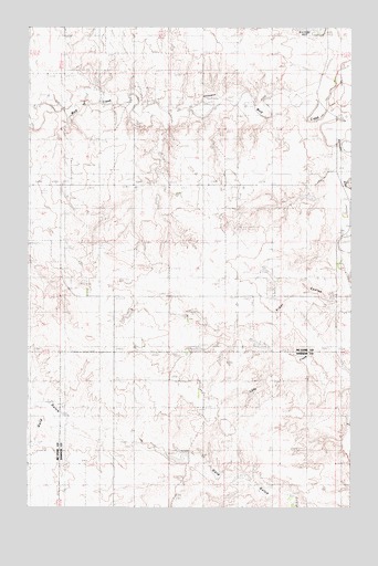
Kraut Coulee, MT USGS Topographic Map
Click on map above to begin viewing in our Map Viewer.

This topographic map contains these locations and features:
Feature Name Type Latitude Longitude GNIS ID View Map
23N49E01DDD_01 WellWellN47.7820°W105.3714°824946View Map
23N50E04BABA01 WellWellN47.7903°W105.3122°824962View Map
23N50E04BABB01 WellWellN47.7903°W105.3128°824963View Map
23N50E04DBCD01 WellWellN47.7808°W105.3069°824940View Map
23N50E04DCBA01 WellWellN47.7795°W105.3069°824935View Map
23N50E10BBBA01 WellWellN47.7758°W105.2964°824918View Map
23N50E12BCAA01 WellWellN47.7722°W105.2514°824904View Map
23N50E12BCAD01 WellWellN47.7711°W105.2514°824901View Map
23N50E14CABB01 WellWellN47.7539°W105.2705°824829View Map
23N50E14CACB01 WellWellN47.7520°W105.2705°824821View Map
23N50E14CACC01 WellWellN47.7517°W105.2705°824819View Map
23N50E14CBDA01 WellWellN47.7517°W105.2725°824820View Map
24N50E09BAD_01 WellWellN47.8570°W105.3105°825105View Map
24N50E19CB__01 WellWellN47.8253°W105.3603°825034View Map
24N50E20AAAA01 WellWellN47.8331°W105.3214°825061View Map
Brown Bear DamDamN47.8133°W105.2805°797593View Map
Knudson DamDamN47.7633°W105.3005°795469View Map
Prairie Lawn CemeteryCemeteryN47.7611°W105.3428°1715459View Map
Prairie View School (historical)SchoolN47.7895°W105.3622°1715564View Map
S A Lee Number 1 DamDamN47.7550°W105.2889°796057View Map
Sacred Heights Methodist Church (historical)ChurchN47.7611°W105.3428°1715455View Map
Smile Number 2 DamDamN47.7883°W105.3605°797829View Map
Smile Number 3 DamDamN47.7883°W105.3455°797833View Map
Waters CouleeValleyN47.8742°W105.2736°799740View Map
Waters Number 5 DamDamN47.8233°W105.2639°796100View Map
Waters ReservoirReservoirN47.8747°W105.2653°799741View Map

Note: Coordinates in the location and feature list above are referenced to NAD83 datum.


Copyright (C) 2008-2025 Ryan Niemi / Sunset Dynamics ... All Rights Reserved