TopoQuest Logo
Do you find TopoQuest useful?
Help keep TopoQuest running and adding new maps/features by donating!
Bitcoin:  19c7KJd3qBynnjoSw5npx9KScwjBe4ifkT
Litecoin:  LXs6TkuXGGXo1vDsWCkWVdjQX94eUKd6ui
Home View Maps Find Maps Find Places Resources & Links


Oysterville, Washington Topographic Map

USGS Map Title: Oysterville, WA
USGS Map MRC: 46124E1
DRG (GeoTIFF) Download: o46124e1.tif


Neighboring USGS Topographic Map Quads:


  North Cove, WA  
46124F1
 

  Bay Center, WA  
46123F8


  Oysterville, WA  
46124E1
 

  Nemah, WA  
46123E8


  Ocean Park, WA  
46124D1
 

  Long Island, WA  
46123D8


Map MRC Location:

N47°
W125°
N47°
W124°
H8 H7 H6 H5 H4 H3 H2 H1
G8 G7 G6 G5 G4 G3 G2 G1
F8 F7 F6 F5 F4 F3 F2 F1
E8 E7 E6 E5 E4 E3 E2 E1
D8 D7 D6 D5 D4 D3 D2 D1
C8 C7 C6 C5 C4 C3 C2 C1
B8 B7 B6 B5 B4 B3 B2 B1
A8 A7 A6 A5 A4 A3 A2 A1
N46°
W125°
N46°
W124°

Oysterville, WA USGS 1:24K Topographic Map Preview:
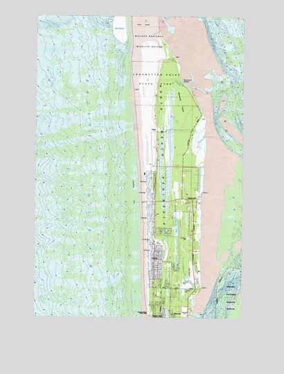
Oysterville, WA USGS Topographic Map
Click on map above to begin viewing in our Map Viewer.

This topographic map contains these locations and features:
Feature Name Type Latitude Longitude GNIS ID View Map
Elliot TrailTrailN46.5984°W124.0449°1504729View Map
Espy SloughStreamN46.5084°W124.0291°1504768View Map
Goulters SloughStreamN46.5754°W124.0229°1505205View Map
HinesPopulated PlaceN46.5782°W124.0529°1534114View Map
Leadbetter Point State ParkParkN46.5970°W124.0535°1509893View Map
Martin AirportAirportN46.5179°W124.0318°1533855View Map
Morehead Boys CampLocaleN46.5020°W124.0316°1506786View Map
OystervillePopulated PlaceN46.5490°W124.0282°1512544View Map
Oysterville Post OfficePost OfficeN46.5491°W124.0329°2769201View Map
Pacific County Fire District 1BuildingN46.5493°W124.0283°2619741View Map
Pacific Pines State ParkParkN46.5018°W124.0554°1512981View Map
Sherwood ForestForestN46.5882°W124.0354°1508299View Map
Skating LakeLakeN46.5372°W124.0407°1508384View Map
Stackpole HarborBayN46.5982°W124.0368°1508674View Map
Stackpole SloughStreamN46.5970°W124.0368°1508675View Map
Willapa CampLocaleN46.5120°W124.0252°1509526View Map

Note: Coordinates in the location and feature list above are referenced to NAD83 datum.


Copyright (C) 2008-2025 Ryan Niemi / Sunset Dynamics ... All Rights Reserved