TopoQuest Logo
Do you find TopoQuest useful?
Help keep TopoQuest running and adding new maps/features by donating!
Bitcoin:  19c7KJd3qBynnjoSw5npx9KScwjBe4ifkT
Litecoin:  LXs6TkuXGGXo1vDsWCkWVdjQX94eUKd6ui
Home View Maps Find Maps Find Places Resources & Links


South Fork Reservoir, Montana Topographic Map

USGS Map Title: South Fork Reservoir, MT
USGS Map MRC: 46105H6
DRG (GeoTIFF) Download: o46105h6.tif


Neighboring USGS Topographic Map Quads:


  Watkins SE, MT  
47105A7
 

  Big Sheep Mountain, MT  
47105A6
 

  Becker Dam, MT  
47105A5
 

  Little Sheep Mountain, MT  
46105H7
 

  South Fork Reservoir, MT  
46105H6
 

  McCloud, MT  
46105H5
 

  Morehouse Creek, MT  
46105G7
 

  Physic Creek, MT  
46105G6
 

  McClure Reservoir, MT  
46105G5


Map MRC Location:

N47°
W106°
N47°
W105°
H8 H7 H6 H5 H4 H3 H2 H1
G8 G7 G6 G5 G4 G3 G2 G1
F8 F7 F6 F5 F4 F3 F2 F1
E8 E7 E6 E5 E4 E3 E2 E1
D8 D7 D6 D5 D4 D3 D2 D1
C8 C7 C6 C5 C4 C3 C2 C1
B8 B7 B6 B5 B4 B3 B2 B1
A8 A7 A6 A5 A4 A3 A2 A1
N46°
W106°
N46°
W105°

South Fork Reservoir, MT USGS 1:24K Topographic Map Preview:
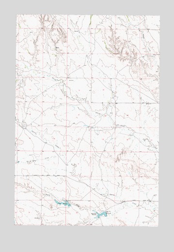
South Fork Reservoir, MT USGS Topographic Map
Click on map above to begin viewing in our Map Viewer.

This topographic map contains these locations and features:
Feature Name Type Latitude Longitude GNIS ID View Map
13N47E02BCCC01 WellWellN46.9125°W105.7478°819341View Map
13N48E08DCAA01 WellWellN46.8936°W105.6694°819207View Map
13N48E09DABC01 WellWellN46.8961°W105.6472°819232View Map
14N47E13ABBA01 WellWellN46.9764°W105.7153°819871View Map
14N47E15DDAD01 WellWellN46.9647°W105.7489°819779View Map
14N47E26CDCB01 WellWellN46.9350°W105.7417°819483View Map
14N47E26CDCC01 WellWellN46.9345°W105.7420°819473View Map
14N48E05CACD01 WellWellN46.9956°W105.6783°820021View Map
14N48E17CDAB01 WellWellN46.9661°W105.6769°819795View Map
14N48E18AABD01 WellWellN46.9761°W105.6886°819869View Map
14N48E33ABBC01 WellWellN46.9325°W105.6525°819466View Map
Clark DamDamN46.8883°W105.7022°795739View Map
Clark ReservoirReservoirN46.8882°W105.7080°769902View Map
Haughian School (historical)SchoolN46.8867°W105.6781°1715702View Map
Highland School (historical)SchoolN46.9042°W105.6328°1715706View Map
McMillan Post Office (historical)Post OfficeN46.9164°W105.6461°1715651View Map
Morris CreekStreamN46.9172°W105.7114°774396View Map
Rapos School (historical)SchoolN46.9622°W105.7061°1715723View Map
Robertson CreekStreamN46.9372°W105.7492°776800View Map
Sig SpringSpringN46.8794°W105.7283°776540View Map
South Fork Cherry CreekStreamN46.8883°W105.6525°776777View Map
South Fork Cherry Creek DamDamN46.8817°W105.6722°795735View Map
South Fork ReservoirReservoirN46.8825°W105.6727°776862View Map

Note: Coordinates in the location and feature list above are referenced to NAD83 datum.


Copyright (C) 2008-2025 Ryan Niemi / Sunset Dynamics ... All Rights Reserved