TopoQuest Logo
Do you find TopoQuest useful?
Help keep TopoQuest running and adding new maps/features by donating!
Bitcoin:  19c7KJd3qBynnjoSw5npx9KScwjBe4ifkT
Litecoin:  LXs6TkuXGGXo1vDsWCkWVdjQX94eUKd6ui
Home View Maps Find Maps Find Places Resources & Links


Stone Mountain, Vermont Topographic Map

USGS Map Title: Stone Mountain, VT
USGS Map MRC: 44071E6
DRG (GeoTIFF) Download: o44071e6.tif


Neighboring USGS Topographic Map Quads:


  Seneca Mountain, VT  
44071F7
 

  Maidstone Lake, VT  
44071F6
 

  Stratford, NH  
44071F5
 

  Gallup Mills, VT  
44071E7
 

  Stone Mountain, VT  
44071E6
 

  Groveton, NH  
44071E5
 

  Miles Pond, VT  
44071D7


Map MRC Location:

N45°
W72°
N45°
W71°
H8 H7 H6 H5 H4 H3 H2 H1
G8 G7 G6 G5 G4 G3 G2 G1
F8 F7 F6 F5 F4 F3 F2 F1
E8 E7 E6 E5 E4 E3 E2 E1
D8 D7 D6 D5 D4 D3 D2 D1
C8 C7 C6 C5 C4 C3 C2 C1
B8 B7 B6 B5 B4 B3 B2 B1
A8 A7 A6 A5 A4 A3 A2 A1
N44°
W72°
N44°
W71°

Stone Mountain, VT USGS 1:24K Topographic Map Preview:
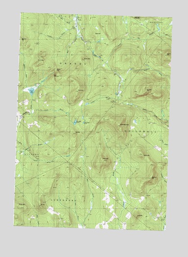
Stone Mountain, VT USGS Topographic Map
Click on map above to begin viewing in our Map Viewer.

This topographic map contains these locations and features:
Feature Name Type Latitude Longitude GNIS ID View Map
Adden MountainSummitN44.5409°W71.6790°1456112View Map
Applelon BrookStreamN44.5803°W71.7412°1456168View Map
Boyce CemeteryCemeteryN44.5754°W71.7101°1919295View Map
Burnside MountainSummitN44.5828°W71.6440°1456670View Map
Buzzell GapGapN44.5934°W71.7198°1456707View Map
Colby MountainSummitN44.5084°W71.6487°1456957View Map
Cow MountainSummitN44.5548°W71.7015°1457032View Map
Cow Mountain PondLakeN44.5618°W71.7020°1457033View Map
Halibut MountainSummitN44.5445°W71.6451°1457690View Map
Hall BrookStreamN44.5003°W71.6943°1457694View Map
Harris MountainSummitN44.5812°W71.7012°1457741View Map
Little Mud PondLakeN44.5617°W71.6951°1458246View Map
Mount TugSummitN44.5126°W71.7287°1458574View Map
Mud PondLakeN44.5791°W71.7386°1458618View Map
Nurse MountainSummitN44.5962°W71.7331°1458798View Map
Pond BrookStreamN44.5667°W71.7381°1459031View Map
Round MountainSummitN44.6031°W71.6290°1459255View Map
Sable MountainSummitN44.6076°W71.6840°1459299View Map
Sable Mountain BrookStreamN44.5973°W71.6772°1459301View Map
Sheridan MountainSummitN44.5306°W71.6387°1459493View Map
Spaulding CemeteryCemeteryN44.5132°W71.6743°1919408View Map
Spruce MountainSummitN44.5995°W71.6965°1459654View Map
Stone MountainSummitN44.5609°W71.6651°1459730View Map
Stony BrookStreamN44.6239°W71.7043°1459736View Map
Stuart CemeteryCemeteryN44.5274°W71.6876°1919410View Map
Suitor BrookStreamN44.5428°W71.7454°1459774View Map
Temple MountainSummitN44.5112°W71.7437°1459836View Map
Tolman BrookStreamN44.6189°W71.7034°1459922View Map
Town of GranbyCivilN44.6021°W71.7207°1462106View Map
Town of GuildhallCivilN44.5477°W71.6287°1462111View Map
Wilke BrookStreamN44.6145°W71.7006°1460259View Map
Wilke MountainSummitN44.5884°W71.7173°1460260View Map

Note: Coordinates in the location and feature list above are referenced to NAD83 datum.


Copyright (C) 2008-2025 Ryan Niemi / Sunset Dynamics ... All Rights Reserved