TopoQuest Logo
Do you find TopoQuest useful?
Help keep TopoQuest running and adding new maps/features by donating!
Bitcoin:  19c7KJd3qBynnjoSw5npx9KScwjBe4ifkT
Litecoin:  LXs6TkuXGGXo1vDsWCkWVdjQX94eUKd6ui
Home View Maps Find Maps Find Places Resources & Links


Sunset Mountain, Idaho Topographic Map

USGS Map Title: Sunset Mountain, ID
USGS Map MRC: 43115H6
DRG (GeoTIFF) Download: o43115h6.tif


Neighboring USGS Topographic Map Quads:


  Grimes Pass, ID  
44115A7
 

  Pine Flat, ID  
44115A6
 

  Lowman, ID  
44115A5
 

  Pioneerville, ID  
43115H7
 

  Sunset Mountain, ID  
43115H6
 

  Big Owl Creek, ID  
43115H5
 

  Idaho City, ID  
43115G7
 

  Rabbit Creek Summit, ID  
43115G6
 

  Barber Flat, ID  
43115G5


Map MRC Location:

N44°
W116°
N44°
W115°
H8 H7 H6 H5 H4 H3 H2 H1
G8 G7 G6 G5 G4 G3 G2 G1
F8 F7 F6 F5 F4 F3 F2 F1
E8 E7 E6 E5 E4 E3 E2 E1
D8 D7 D6 D5 D4 D3 D2 D1
C8 C7 C6 C5 C4 C3 C2 C1
B8 B7 B6 B5 B4 B3 B2 B1
A8 A7 A6 A5 A4 A3 A2 A1
N43°
W116°
N43°
W115°

Sunset Mountain, ID USGS 1:24K Topographic Map Preview:
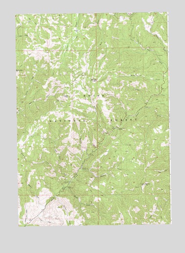
Sunset Mountain, ID USGS Topographic Map
Click on map above to begin viewing in our Map Viewer.

This topographic map contains these locations and features:
Feature Name Type Latitude Longitude GNIS ID View Map
American Girl GulchValleyN43.8760°W115.7443°376593View Map
Bad Bear CampgroundLocaleN43.9007°W115.7084°376809View Map
Bad Bear CreekStreamN43.8996°W115.7076°376810View Map
Boise CountyCivilN43.9891°W115.7303°395157View Map
Camp Ee Da HowLocaleN43.9441°W115.6454°378798View Map
Coulter CorralLocaleN43.9957°W115.7376°379912View Map
East Fork Elk CreekStreamN43.9430°W115.7468°381089View Map
Eightmile CreekStreamN43.8863°W115.7279°381279View Map
Fan CreekStreamN43.8807°W115.7343°381586View Map
Freeman PeakSummitN43.9513°W115.7079°399880View Map
Hayfork CampgroundLocaleN43.9085°W115.6979°382988View Map
Hayfork CreekStreamN43.9085°W115.6987°399910View Map
Hooton CreekStreamN43.8921°W115.7190°397793View Map
Mores Creek SummitSummitN43.9324°W115.6676°387206View Map
Mores Creek Summit Recreation SiteLocaleN43.9313°W115.6698°400721View Map
North Fork Elk CreekStreamN43.9432°W115.7468°387693View Map
Pilot PeakSummitN43.9605°W115.6871°388459View Map
Rough CreekStreamN43.8966°W115.7121°389633View Map
Summit FlatFlatN43.9907°W115.7009°391628View Map
Sunset MountainSummitN43.8985°W115.6468°391667View Map
Tenmile CampgroundLocaleN43.8977°W115.7098°391912View Map
Tenmile CreekStreamN43.8966°W115.7123°400128View Map
Tenmile Summer Home AreaPopulated PlaceN43.8971°W115.7140°400494View Map
Twelvemile CreekStreamN43.9141°W115.6934°392476View Map
Whoop Um Up Recreation SiteLocaleN43.9588°W115.6309°400720View Map

Note: Coordinates in the location and feature list above are referenced to NAD83 datum.


Copyright (C) 2008-2025 Ryan Niemi / Sunset Dynamics ... All Rights Reserved