TopoQuest Logo
Do you find TopoQuest useful?
Help keep TopoQuest running and adding new maps/features by donating!
Bitcoin:  19c7KJd3qBynnjoSw5npx9KScwjBe4ifkT
Litecoin:  LXs6TkuXGGXo1vDsWCkWVdjQX94eUKd6ui
Home View Maps Find Maps Find Places Resources & Links


Bond, Montana Topographic Map

USGS Map Title: Bond, MT
USGS Map MRC: 45112C6
DRG (GeoTIFF) Download: o45112c6.tif


Neighboring USGS Topographic Map Quads:


  Twin Adams Mountain, MT  
45112D7
 

  Glen, MT  
45112D6
 

  Block Mountain, MT  
45112D5
 

  Argenta, MT  
45112C7
 

  Bond, MT  
45112C6
 

  Glen SE, MT  
45112C5
 

  Burns Mountain, MT  
45112B7
 

  Dillon West, MT  
45112B6
 

  Dillon East, MT  
45112B5


Map MRC Location:

N46°
W113°
N46°
W112°
H8 H7 H6 H5 H4 H3 H2 H1
G8 G7 G6 G5 G4 G3 G2 G1
F8 F7 F6 F5 F4 F3 F2 F1
E8 E7 E6 E5 E4 E3 E2 E1
D8 D7 D6 D5 D4 D3 D2 D1
C8 C7 C6 C5 C4 C3 C2 C1
B8 B7 B6 B5 B4 B3 B2 B1
A8 A7 A6 A5 A4 A3 A2 A1
N45°
W113°
N45°
W112°

Bond, MT USGS 1:24K Topographic Map Preview:
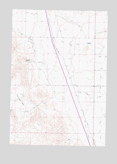
Bond, MT USGS Topographic Map
Click on map above to begin viewing in our Map Viewer.

This topographic map contains these locations and features:
Feature Name Type Latitude Longitude GNIS ID View Map
06S08W18CCC_02 WellWellN45.3055°W112.6411°808830View Map
06S09W11DBB_01 WellWellN45.3271°W112.6697°808950View Map
06S09W13CDD_01 WellWellN45.3069°W112.6520°808839View Map
06S09W14BDCD01 WellWellN45.3135°W112.6753°808882View Map
06S09W15BBAB01 WellWellN45.3196°W112.7003°808912View Map
06S09W23ABB_01 WellWellN45.3044°W112.6711°808826View Map
07S09W23CACD02 WellWellN45.3744°W112.6759°809176View Map
Blomquist ReservoirSwampN45.3446°W112.6527°780124View Map
Blomquist Reservoir DamDamN45.3449°W112.6509°798390View Map
BondPopulated PlaceN45.3058°W112.6656°780208View Map
Cave GulchValleyN45.3446°W112.6559°781071View Map
Frying Pan BasinBasinN45.2908°W112.7397°783780View Map
Frying Pan Basin (historical)LocaleN45.2916°W112.6328°1797339View Map
Guidici DitchCanalN45.2508°W112.6386°784405View Map
Overnight ReservoirReservoirN45.3275°W112.7258°788534View Map
Overnight Reservoir DamDamN45.3283°W112.7259°798389View Map
West Side CanalCanalN45.2927°W112.6378°793129View Map
Willow Creek DitchCanalN45.3713°W112.7253°793361View Map

Note: Coordinates in the location and feature list above are referenced to NAD83 datum.


Copyright (C) 2008-2025 Ryan Niemi / Sunset Dynamics ... All Rights Reserved