TopoQuest Logo
Do you find TopoQuest useful?
Help keep TopoQuest running and adding new maps/features by donating!
Bitcoin:  19c7KJd3qBynnjoSw5npx9KScwjBe4ifkT
Litecoin:  LXs6TkuXGGXo1vDsWCkWVdjQX94eUKd6ui
Home View Maps Find Maps Find Places Resources & Links


Wheeler, Montana Topographic Map

USGS Map Title: Wheeler, MT
USGS Map MRC: 48106A5
DRG (GeoTIFF) Download: o48106a5.tif


Neighboring USGS Topographic Map Quads:


  Glasgow, MT  
48106B6
 

  Whately, MT  
48106B5
 

  Lindeke Coulee, MT  
48106B4
 

  Blanchard Ranch, MT  
48106A6
 

  Wheeler, MT  
48106A5
 

  Fort Peck, MT  
48106A4
 

  Lewis Reservoir, MT  
47106H6
 

  Skunk Coulee, MT  
47106H5
 

  York Island, MT  
47106H4


Map MRC Location:

N49°
W107°
N49°
W106°
H8 H7 H6 H5 H4 H3 H2 H1
G8 G7 G6 G5 G4 G3 G2 G1
F8 F7 F6 F5 F4 F3 F2 F1
E8 E7 E6 E5 E4 E3 E2 E1
D8 D7 D6 D5 D4 D3 D2 D1
C8 C7 C6 C5 C4 C3 C2 C1
B8 B7 B6 B5 B4 B3 B2 B1
A8 A7 A6 A5 A4 A3 A2 A1
N48°
W107°
N48°
W106°

Wheeler, MT USGS 1:24K Topographic Map Preview:
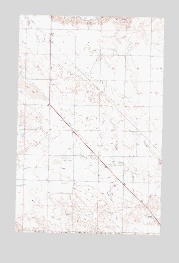
Wheeler, MT USGS Topographic Map
Click on map above to begin viewing in our Map Viewer.

This topographic map contains these locations and features:
Feature Name Type Latitude Longitude GNIS ID View Map
26N40E02CBBA01 WellWellN48.0367°W106.5317°825715View Map
26N40E13BDDA01 WellWellN48.0095°W106.5028°825496View Map
27N40E07BDAB01 WellWellN48.1128°W106.6106°826361View Map
27N40E16CCAC01 WellWellN48.0903°W106.5723°826144View Map
27N40E30BAAA01 WellWellN48.0725°W106.6092°826021View Map
Borton CouleeValleyN48.0367°W106.5287°769113View Map
Dry LakeLakeN48.0832°W106.6165°770846View Map
Greenwood Number 2 DamDamN48.1067°W106.5256°797634View Map
KLAN-FM (Glasgow)TowerN48.0950°W106.6195°806671View Map
Minot (historical)Populated PlaceN48.0170°W106.5134°1819629View Map
Newton SchoolSchoolN48.1139°W106.5987°774614View Map
Tiger Butte School (historical)SchoolN48.1034°W106.5353°1819520View Map
West Galpin School (historical)SchoolN48.0292°W106.5370°1819507View Map
Whatshername DamDamN48.0567°W106.6206°798207View Map
Whatshisname DamDamN48.1100°W106.6123°798206View Map
WheelerPopulated PlaceN48.0095°W106.5062°778340View Map
Wheeler CouleeValleyN48.0356°W106.5248°778341View Map
Wheeler Post Office (historical)Post OfficeN48.0100°W106.5073°1819597View Map

Note: Coordinates in the location and feature list above are referenced to NAD83 datum.


Copyright (C) 2008-2025 Ryan Niemi / Sunset Dynamics ... All Rights Reserved