TopoQuest Logo
Do you find TopoQuest useful?
Help keep TopoQuest running and adding new maps/features by donating!
Bitcoin:  19c7KJd3qBynnjoSw5npx9KScwjBe4ifkT
Litecoin:  LXs6TkuXGGXo1vDsWCkWVdjQX94eUKd6ui
Home View Maps Find Maps Find Places Resources & Links


Bracket Butte SE, Montana Topographic Map

USGS Map Title: Bracket Butte SE, MT
USGS Map MRC: 46104C7
DRG (GeoTIFF) Download: o46104c7.tif


Neighboring USGS Topographic Map Quads:


  Bracket Butte, MT  
46104D8
 

  Ismay South, MT  
46104D7
 

  Westmore, MT  
46104D6
 

  Foundation Spring, MT  
46104C8
 

  Bracket Butte SE, MT  
46104C7
 

  T G Creek, MT  
46104C6
 

  Hooky Dam, MT  
46104B8
 

  Nelson Butte, MT  
46104B7
 

  Harmon Butte, MT  
46104B6


Map MRC Location:

N47°
W105°
N47°
W104°
H8 H7 H6 H5 H4 H3 H2 H1
G8 G7 G6 G5 G4 G3 G2 G1
F8 F7 F6 F5 F4 F3 F2 F1
E8 E7 E6 E5 E4 E3 E2 E1
D8 D7 D6 D5 D4 D3 D2 D1
C8 C7 C6 C5 C4 C3 C2 C1
B8 B7 B6 B5 B4 B3 B2 B1
A8 A7 A6 A5 A4 A3 A2 A1
N46°
W105°
N46°
W104°

Bracket Butte SE, MT USGS 1:24K Topographic Map Preview:
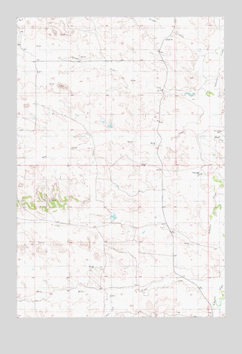
Bracket Butte SE, MT USGS Topographic Map
Click on map above to begin viewing in our Map Viewer.

This topographic map contains these locations and features:
Feature Name Type Latitude Longitude GNIS ID View Map
06N55E14A___01 WellWellN46.3092°W104.7725°815318View Map
06N55E23ABDA01 WellWellN46.2639°W104.7877°814910View Map
06N55E23BA__01 WellWellN46.2647°W104.7947°814916View Map
06N55E24BB__01 WellWellN46.2667°W104.7797°814938View Map
06N56E19CA__01 WellWellN46.2569°W104.7519°814854View Map
06N56E30BB__01 WellWellN46.2500°W104.7588°814788View Map
07N55E16CC__01 WellWellN46.3600°W104.8677°815722View Map
07N55E22AA__01 WellWellN46.3547°W104.8247°815677View Map
07N55E22AADA01 WellWellN46.3547°W104.8227°815676View Map
07N55E28BB__01 WellWellN46.3403°W104.8630°815590View Map
07N56E08CC__01 WellWellN46.3706°W104.7661°815807View Map
07N56E20CC__01 WellWellN46.3092°W104.7661°815317View Map
Back CreekStreamN46.2569°W104.8194°768012View Map
Hay CreekStreamN46.3269°W104.7652°772252View Map
Miles City CreekStreamN46.2625°W104.7536°768011View Map
Savage DamDamN46.3317°W104.8155°796056View Map
Scroggin CreekStreamN46.3583°W104.7658°776314View Map
Spring CreekStreamN46.3406°W104.7577°777045View Map
Timber CreekStreamN46.3244°W104.7594°777660View Map

Note: Coordinates in the location and feature list above are referenced to NAD83 datum.


Copyright (C) 2008-2025 Ryan Niemi / Sunset Dynamics ... All Rights Reserved