TopoQuest Logo
Do you find TopoQuest useful?
Help keep TopoQuest running and adding new maps/features by donating!
Bitcoin:  19c7KJd3qBynnjoSw5npx9KScwjBe4ifkT
Litecoin:  LXs6TkuXGGXo1vDsWCkWVdjQX94eUKd6ui
Home View Maps Find Maps Find Places Resources & Links


Johnson Reservoir, Montana Topographic Map

USGS Map Title: Johnson Reservoir, MT
USGS Map MRC: 47105C1
DRG (GeoTIFF) Download: o47105c1.tif


Neighboring USGS Topographic Map Quads:


  Johnson Reservoir NW, MT  
47105D2
 

  Johnson Reservoir NE, MT  
47105D1
 

  Bloomfield, MT  
47104D8
 

  Deer Creek Church, MT  
47105C2
 

  Johnson Reservoir, MT  
47105C1
 

  Stinking Coulee, MT  
47104C8
 

  Lindsay, MT  
47105B2
 

  Woodrow, MT  
47105B1
 

  Poverty Flat West, MT  
47104B8


Map MRC Location:

N48°
W106°
N48°
W105°
H8 H7 H6 H5 H4 H3 H2 H1
G8 G7 G6 G5 G4 G3 G2 G1
F8 F7 F6 F5 F4 F3 F2 F1
E8 E7 E6 E5 E4 E3 E2 E1
D8 D7 D6 D5 D4 D3 D2 D1
C8 C7 C6 C5 C4 C3 C2 C1
B8 B7 B6 B5 B4 B3 B2 B1
A8 A7 A6 A5 A4 A3 A2 A1
N47°
W106°
N47°
W105°

Johnson Reservoir, MT USGS 1:24K Topographic Map Preview:
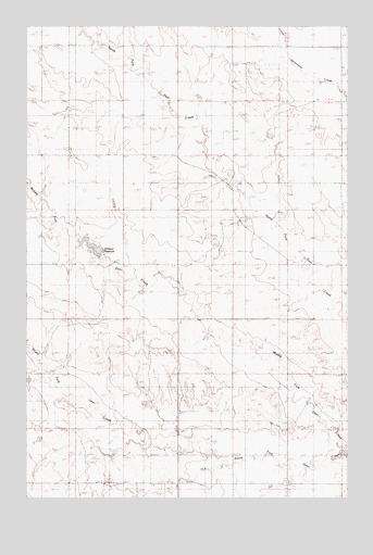
Johnson Reservoir, MT USGS Topographic Map
Click on map above to begin viewing in our Map Viewer.

This topographic map contains these locations and features:
Feature Name Type Latitude Longitude GNIS ID View Map
17N52E01DDD_01 WellWellN47.2556°W105.0186°821720View Map
17N52E01DDD_02 WellWellN47.2556°W105.0186°821721View Map
17N52E10AAA_01 WellWellN47.2528°W105.0686°821703View Map
18N52E04CCC_01 WellWellN47.3436°W105.1075°822340View Map
18N52E10DCB_01 WellWellN47.3303°W105.0755°822255View Map
18N52E12BBB_01 WellWellN47.3414°W105.0483°822316View Map
18N52E14BBC_01 WellWellN47.3531°W105.1072°822399View Map
18N52E14DBD_01 WellWellN47.3178°W105.0514°822172View Map
18N53E18CCC_01 WellWellN47.3142°W105.0228°822150View Map
19N53E18DDDB01 WellWellN47.3167°W105.0061°822158View Map
Johnson ReservoirReservoirN47.3166°W105.1000°799795View Map
Johnson Reservoir DamDamN47.2783°W105.1005°795086View Map
Lervold School (historical)SchoolN47.2597°W105.0514°1715543View Map
Lewis School (historical)SchoolN47.2592°W105.0286°1715544View Map
Lincoln School (historical)SchoolN47.3120°W105.0503°1715546View Map
Middle Fork Deer CreekStreamN47.2620°W105.0011°799792View Map
Tillman Number 1 DamDamN47.3483°W105.0239°797530View Map
Wilson School (historical)SchoolN47.3472°W105.0958°1715590View Map
Wold Post Office (historical)Post OfficeN47.3395°W105.1103°1715342View Map

Note: Coordinates in the location and feature list above are referenced to NAD83 datum.


Copyright (C) 2008-2025 Ryan Niemi / Sunset Dynamics ... All Rights Reserved