TopoQuest Logo
Do you find TopoQuest useful?
Help keep TopoQuest running and adding new maps/features by donating!
Bitcoin:  19c7KJd3qBynnjoSw5npx9KScwjBe4ifkT
Litecoin:  LXs6TkuXGGXo1vDsWCkWVdjQX94eUKd6ui
Home View Maps Find Maps Find Places Resources & Links


Chetco Peak, Oregon Topographic Map

USGS Map Title: Chetco Peak, OR
USGS Map MRC: 42123B8
DRG (GeoTIFF) Download: o42123b8.tif


Neighboring USGS Topographic Map Quads:


  Big Craggies, OR  
42124C1
 

  Tincup Peak, OR  
42123C8
 

  Pearsoll Peak, OR  
42123C7
 

  Quail Prairie Mountain, OR  
42124B1
 

  Chetco Peak, OR  
42123B8
 

  Josephine Mountain, OR  
42123B7
 

  Fourth of July Creek, OR  
42124A1
 

  Biscuit Hill, OR  
42123A8
 

  Buckskin Peak, OR  
42123A7


Map MRC Location:

N43°
W124°
N43°
W123°
H8 H7 H6 H5 H4 H3 H2 H1
G8 G7 G6 G5 G4 G3 G2 G1
F8 F7 F6 F5 F4 F3 F2 F1
E8 E7 E6 E5 E4 E3 E2 E1
D8 D7 D6 D5 D4 D3 D2 D1
C8 C7 C6 C5 C4 C3 C2 C1
B8 B7 B6 B5 B4 B3 B2 B1
A8 A7 A6 A5 A4 A3 A2 A1
N42°
W124°
N42°
W123°

Chetco Peak, OR USGS 1:24K Topographic Map Preview:
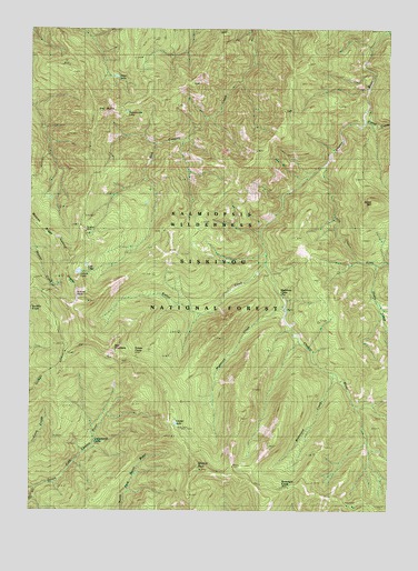
Chetco Peak, OR USGS Topographic Map
Click on map above to begin viewing in our Map Viewer.

This topographic map contains these locations and features:
Feature Name Type Latitude Longitude GNIS ID View Map
Bailey MountainSummitN42.2049°W123.8816°1137417View Map
Brokencot CreekStreamN42.1621°W123.8940°1138652View Map
Carter CreekStreamN42.2271°W123.8826°1139404View Map
Chetco LakeLakeN42.1473°W123.9502°1139613View Map
Chetco Lookout (historical)LocaleN42.1301°W123.9181°1139614View Map
Chetco PeakSummitN42.1359°W123.9424°1139616View Map
Chetco Peak TrailTrailN42.1337°W123.9026°1139617View Map
Cottonwood CampLocaleN42.1457°W123.9792°1140169View Map
Dry ButteSummitN42.2275°W123.9771°1141261View Map
Fresno CampLocaleN42.1659°W123.9651°1155735View Map
Fresno CreekStreamN42.1896°W123.9184°1142478View Map
Gardner MineMineN42.1971°W123.9829°1155738View Map
Henry CreekStreamN42.1898°W123.8795°1143496View Map
Lish LakeLakeN42.1884°W123.9815°1155736View Map
Little Chetco RiverStreamN42.2151°W123.8967°1145125View Map
Little Vulcan LakeLakeN42.1929°W123.9817°1154630View Map
Madstone CabinLocaleN42.1843°W123.9134°1145727View Map
Madstone CreekStreamN42.1796°W123.9112°1145728View Map
Red MountainSummitN42.1669°W123.9725°1148320View Map
Salamander LakeLakeN42.2283°W123.9677°1148957View Map
Valen LakeLakeN42.2374°W123.9715°1151716View Map
Vulcan LakeLakeN42.1868°W123.9843°1151787View Map
Vulcan PeakSummitN42.1807°W123.9853°1151788View Map

Note: Coordinates in the location and feature list above are referenced to NAD83 datum.


Copyright (C) 2008-2025 Ryan Niemi / Sunset Dynamics ... All Rights Reserved