TopoQuest Logo
Do you find TopoQuest useful?
Help keep TopoQuest running and adding new maps/features by donating!
Bitcoin:  19c7KJd3qBynnjoSw5npx9KScwjBe4ifkT
Litecoin:  LXs6TkuXGGXo1vDsWCkWVdjQX94eUKd6ui
Home View Maps Find Maps Find Places Resources & Links


Dutchman Butte, Oregon Topographic Map

USGS Map Title: Dutchman Butte, OR
USGS Map MRC: 42123G6
DRG (GeoTIFF) Download: o42123g6.tif


Neighboring USGS Topographic Map Quads:


  Bone Mountain, OR  
42123H7
 

  Chipmunk Ridge, OR  
42123H6
 

  Live Oak Mountain, OR  
42123H5
 

  Mount Bolivar, OR  
42123G7
 

  Dutchman Butte, OR  
42123G6
 

  Rabbit Mountain, OR  
42123G5
 

  Kelsey Peak, OR  
42123F7
 

  Bunker Creek, OR  
42123F6
 

  Mount Reuben, OR  
42123F5


Map MRC Location:

N43°
W124°
N43°
W123°
H8 H7 H6 H5 H4 H3 H2 H1
G8 G7 G6 G5 G4 G3 G2 G1
F8 F7 F6 F5 F4 F3 F2 F1
E8 E7 E6 E5 E4 E3 E2 E1
D8 D7 D6 D5 D4 D3 D2 D1
C8 C7 C6 C5 C4 C3 C2 C1
B8 B7 B6 B5 B4 B3 B2 B1
A8 A7 A6 A5 A4 A3 A2 A1
N42°
W124°
N42°
W123°

Dutchman Butte, OR USGS 1:24K Topographic Map Preview:
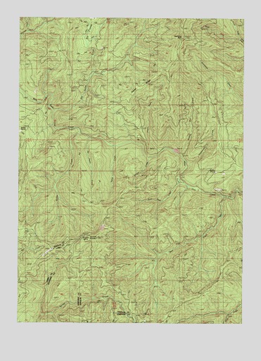
Dutchman Butte, OR USGS Topographic Map
Click on map above to begin viewing in our Map Viewer.

This topographic map contains these locations and features:
Feature Name Type Latitude Longitude GNIS ID View Map
Bear CreekStreamN42.8015°W123.6365°1117349View Map
Bobby CreekStreamN42.8273°W123.7170°1117887View Map
Calvert Peak AirportAirportN42.7795°W123.7335°1131452View Map
Dutchman ButteSummitN42.8666°W123.6603°1120245View Map
Elk Valley CreekStreamN42.8365°W123.7315°1120468View Map
Goat Trail CreekStreamN42.8068°W123.6609°1132243View Map
Hayes CreekStreamN42.8204°W123.6717°1121697View Map
Hayes RidgeRidgeN42.8471°W123.6801°1121701View Map
Honeysuckle CreekStreamN42.8154°W123.6573°1121956View Map
Jackass PrairieFlatN42.8104°W123.6404°1122340View Map
Jacob CreekStreamN42.8012°W123.6317°1132248View Map
Ninemile CampLocaleN42.7859°W123.7137°1132242View Map
Ninemile MountainSummitN42.7844°W123.7072°1124689View Map
Ninemile SpringSpringN42.7854°W123.7136°1124691View Map
No Sweat CreekStreamN42.8265°W123.7120°1160804View Map
North Fork Darby CreekStreamN42.8665°W123.6279°1160805View Map
Slotted Pen CreekStreamN42.8187°W123.6606°1127092View Map
Soldier CreekStreamN42.8171°W123.6784°1127198View Map
Sweat CreekStreamN42.8226°W123.6976°1160803View Map
Walker PrairieFlatN42.8285°W123.7497°1135822View Map
West Fork Darby CreekStreamN42.8665°W123.6279°1160806View Map

Note: Coordinates in the location and feature list above are referenced to NAD83 datum.


Copyright (C) 2008-2025 Ryan Niemi / Sunset Dynamics ... All Rights Reserved