TopoQuest Logo
Do you find TopoQuest useful?
Help keep TopoQuest running and adding new maps/features by donating!
Bitcoin:  19c7KJd3qBynnjoSw5npx9KScwjBe4ifkT
Litecoin:  LXs6TkuXGGXo1vDsWCkWVdjQX94eUKd6ui
Home View Maps Find Maps Find Places Resources & Links


Center West, Nebraska Topographic Map

USGS Map Title: Center West, NE
USGS Map MRC: 42097E8
DRG (GeoTIFF) Download: o42097e8.tif


Neighboring USGS Topographic Map Quads:


  Verdigre NE, NE  
42098F1
 

  Sparta, NE  
42097F8
 

  Howe Creek, NE  
42097F7
 

  Verdigre, NE  
42098E1
 

  Center West, NE  
42097E8
 

  Center East, NE  
42097E7
 

  Orchard NE, NE  
42098D1
 

  Creighton, NE  
42097D8
 

  Plainview NE, NE  
42097D7


Map MRC Location:

N43°
W98°
N43°
W97°
H8 H7 H6 H5 H4 H3 H2 H1
G8 G7 G6 G5 G4 G3 G2 G1
F8 F7 F6 F5 F4 F3 F2 F1
E8 E7 E6 E5 E4 E3 E2 E1
D8 D7 D6 D5 D4 D3 D2 D1
C8 C7 C6 C5 C4 C3 C2 C1
B8 B7 B6 B5 B4 B3 B2 B1
A8 A7 A6 A5 A4 A3 A2 A1
N42°
W98°
N42°
W97°

Center West, NE USGS 1:24K Topographic Map Preview:
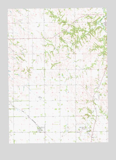
Center West, NE USGS Topographic Map
Click on map above to begin viewing in our Map Viewer.

This topographic map contains these locations and features:
Feature Name Type Latitude Longitude GNIS ID View Map
Bazile MillsPopulated PlaceN42.5128°W97.9051°827227View Map
Bazile Mills Post Office (historical)Post OfficeN42.5128°W97.9051°1884785View Map
Bethesda Mini CampLocaleN42.5100°W97.9587°1884795View Map
Cedar Hill CemeteryCemeteryN42.5108°W97.8976°828001View Map
CenterPopulated PlaceN42.6094°W97.8767°828031View Map
Center Post OfficePost OfficeN42.6092°W97.8765°1884886View Map
Center United Church of ChristChurchN42.6106°W97.8784°1884887View Map
Center Village Police DepartmentBuildingN42.6092°W97.8778°1884882View Map
Herberts Farm Airport (historical)AirportN42.5433°W97.9690°837759View Map
Historical One Room School House (historical)BuildingN42.6103°W97.8756°1884885View Map
Knox County Court HouseBuildingN42.6092°W97.8778°1884884View Map
Knox County Sheriff's OfficeBuildingN42.6089°W97.8774°1884883View Map
Spring CreekStreamN42.5106°W97.9003°833707View Map
Township of ValleyCivilN42.5681°W97.8964°838302View Map
Village of Bazile MillsCivilN42.5124°W97.9083°2398054View Map
Village of CenterCivilN42.6090°W97.8762°2397587View Map
Village of WinnetoonCivilN42.5135°W97.9601°2399719View Map
WinnetoonPopulated PlaceN42.5125°W97.9609°834820View Map
Winnetoon (historical)LocaleN42.5136°W97.9601°1884793View Map
Winnetoon CemeteryCemeteryN42.5094°W97.9557°1884794View Map
Winnetoon ParkParkN42.5144°W97.9620°1884796View Map
Winnetoon Post OfficePost OfficeN42.5133°W97.9607°1884798View Map
Winnetoon School (historical)SchoolN42.5150°W97.9640°1884797View Map

Note: Coordinates in the location and feature list above are referenced to NAD83 datum.


Copyright (C) 2008-2025 Ryan Niemi / Sunset Dynamics ... All Rights Reserved