TopoQuest Logo
Do you find TopoQuest useful?
Help keep TopoQuest running and adding new maps/features by donating!
Bitcoin:  19c7KJd3qBynnjoSw5npx9KScwjBe4ifkT
Litecoin:  LXs6TkuXGGXo1vDsWCkWVdjQX94eUKd6ui
Home View Maps Find Maps Find Places Resources & Links


Eagle, Nebraska Topographic Map

USGS Map Title: Eagle, NE
USGS Map MRC: 40096G4
DRG (GeoTIFF) Download: o40096g4.tif


Neighboring USGS Topographic Map Quads:


  Waverly, NE  
40096H5
 

  Greenwood, NE  
40096H4
 

  Murdock, NE  
40096H3
 

  Walton, NE  
40096G5
 

  Eagle, NE  
40096G4
 

  Elmwood, NE  
40096G3
 

  Bennet, NE  
40096F5
 

  Palmyra, NE  
40096F4
 

  Unadilla, NE  
40096F3


Map MRC Location:

N41°
W97°
N41°
W96°
H8 H7 H6 H5 H4 H3 H2 H1
G8 G7 G6 G5 G4 G3 G2 G1
F8 F7 F6 F5 F4 F3 F2 F1
E8 E7 E6 E5 E4 E3 E2 E1
D8 D7 D6 D5 D4 D3 D2 D1
C8 C7 C6 C5 C4 C3 C2 C1
B8 B7 B6 B5 B4 B3 B2 B1
A8 A7 A6 A5 A4 A3 A2 A1
N40°
W97°
N40°
W96°

Eagle, NE USGS 1:24K Topographic Map Preview:
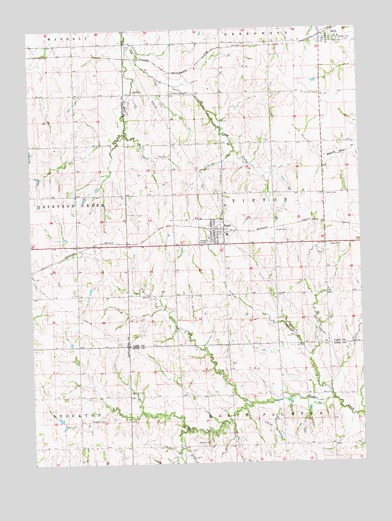
Eagle, NE USGS Topographic Map
Click on map above to begin viewing in our Map Viewer.

This topographic map contains these locations and features:
Feature Name Type Latitude Longitude GNIS ID View Map
AlvoPopulated PlaceN40.8719°W96.3875°826972View Map
Alvo (historical)LocaleN40.8731°W96.3892°1897997View Map
Alvo Fire DepartmentBuildingN40.8717°W96.3878°2553425View Map
Alvo Grain and Feed Incorporated ElevatorLocaleN40.8719°W96.3875°1897998View Map
Alvo Post Office (historical)Post OfficeN40.8719°W96.3875°1897995View Map
Alvo Rescue SquadBuildingN40.8717°W96.3878°2553694View Map
Alvo School (historical)SchoolN40.8719°W96.3875°1897996View Map
Bergman CemeteryCemeteryN40.7625°W96.4733°827343View Map
Bunten CemeteryCemeteryN40.7558°W96.4333°827775View Map
Camp Creek CemeteryCemeteryN40.8569°W96.4456°827894View Map
Dunkers CemeteryCemeteryN40.8561°W96.3897°828891View Map
EaglePopulated PlaceN40.8167°W96.4303°828917View Map
Eagle (historical)LocaleN40.8172°W96.4303°1897977View Map
Eagle CemeteryCemeteryN40.8125°W96.3875°828919View Map
Eagle Elementary SchoolSchoolN40.8158°W96.4253°1897983View Map
Eagle Family DentistryHospitalN40.8167°W96.4303°1897982View Map
Eagle Fire DepartmentBuildingN40.8144°W96.4272°1897976View Map
Eagle LakeReservoirN40.8038°W96.4489°1767337View Map
Eagle Lake DamDamN40.8026°W96.4493°1767336View Map
Eagle Post OfficePost OfficeN40.8169°W96.4307°1897979View Map
Eagle RacewayParkN40.8108°W96.3906°1897984View Map
Eagle Rescue SquadBuildingN40.8144°W96.4272°2553723View Map
Greenwood Farmers Cooperative ElevatorLocaleN40.8167°W96.4303°1897981View Map
Immanuel Lutheran ChurchChurchN40.8167°W96.4303°1897980View Map
KFMQ-FM (Lincoln)TowerN40.7858°W96.3856°837815View Map
KFRX-FM (Lincoln)TowerN40.7808°W96.3814°837814View Map
Spahnle CemeteryCemeteryN40.7705°W96.4633°833636View Map
Tipton Election PrecinctCivilN40.8273°W96.4073°1929338View Map
Township of TiptonCivilN40.8250°W96.4058°1897789View Map
Village of AlvoCivilN40.8723°W96.3865°2397951View Map
Village of EagleCivilN40.8161°W96.4327°2398768View Map
Woodland Hills Census Designated PlaceCensusN40.7511°W96.4210°2583907View Map
Woodland Hills Golf CourseLocaleN40.7528°W96.4267°1884236View Map
Wright CemeteryCemeteryN40.8166°W96.4075°834886View Map

Note: Coordinates in the location and feature list above are referenced to NAD83 datum.


Copyright (C) 2008-2024 Ryan Niemi / Sunset Dynamics ... All Rights Reserved