TopoQuest Logo
Do you find TopoQuest useful?
Help keep TopoQuest running and adding new maps/features by donating!
Bitcoin:  19c7KJd3qBynnjoSw5npx9KScwjBe4ifkT
Litecoin:  LXs6TkuXGGXo1vDsWCkWVdjQX94eUKd6ui
Home View Maps Find Maps Find Places Resources & Links


Elmwood, Nebraska Topographic Map

USGS Map Title: Elmwood, NE
USGS Map MRC: 40096G3
DRG (GeoTIFF) Download: o40096g3.tif


Neighboring USGS Topographic Map Quads:


  Greenwood, NE  
40096H4
 

  Murdock, NE  
40096H3
 

  Manley, NE  
40096H2
 

  Eagle, NE  
40096G4
 

  Elmwood, NE  
40096G3
 

  Weeping Water, NE  
40096G2
 

  Palmyra, NE  
40096F4
 

  Unadilla, NE  
40096F3
 

  Syracuse, NE  
40096F2


Map MRC Location:

N41°
W97°
N41°
W96°
H8 H7 H6 H5 H4 H3 H2 H1
G8 G7 G6 G5 G4 G3 G2 G1
F8 F7 F6 F5 F4 F3 F2 F1
E8 E7 E6 E5 E4 E3 E2 E1
D8 D7 D6 D5 D4 D3 D2 D1
C8 C7 C6 C5 C4 C3 C2 C1
B8 B7 B6 B5 B4 B3 B2 B1
A8 A7 A6 A5 A4 A3 A2 A1
N40°
W97°
N40°
W96°

Elmwood, NE USGS 1:24K Topographic Map Preview:
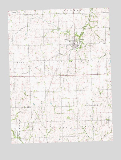
Elmwood, NE USGS Topographic Map
Click on map above to begin viewing in our Map Viewer.

This topographic map contains these locations and features:
Feature Name Type Latitude Longitude GNIS ID View Map
Bess Streeter Aldrich Historical MarkerParkN40.8444°W96.2928°1897926View Map
Bess Streeter Aldrich MuseumBuildingN40.8417°W96.2947°1897973View Map
Bornemeier AirstripAirportN40.8689°W96.2864°837545View Map
ElmwoodPopulated PlaceN40.8417°W96.2936°829094View Map
Elmwood - Murdock Elementary SchoolSchoolN40.8445°W96.3006°1897975View Map
Elmwood (historical)LocaleN40.8389°W96.2933°1897966View Map
Elmwood Christian ChurchChurchN40.8417°W96.2936°1897968View Map
Elmwood Fire DepartmentBuildingN40.8475°W96.2927°2553489View Map
Elmwood ParkParkN40.8444°W96.2928°1897918View Map
Elmwood Post OfficePost OfficeN40.8418°W96.2946°1897972View Map
Elmwood Public LibraryBuildingN40.8417°W96.2925°1897971View Map
Elmwood RescueBuildingN40.8475°W96.2927°2553722View Map
Grade Stabilization Dam 12-25DamN40.8258°W96.2500°1766959View Map
Greenwood Farmers Cooperative ElevatorLocaleN40.8417°W96.2936°1897967View Map
Pleasant Hill CemeteryCemeteryN40.7694°W96.2606°832173View Map
Saint Marys Catholic ChurchChurchN40.8456°W96.3014°1897969View Map
Saint Paul United Methodist ChurchChurchN40.8456°W96.3006°1897970View Map
Stove CreekStreamN40.8486°W96.2872°833852View Map
Stove Creek Election PrecinctCivilN40.8275°W96.2934°1929323View Map
Township of Stove CreekCivilN40.8250°W96.2920°1897933View Map
Village of ElmwoodCivilN40.8425°W96.2946°2398816View Map
Weyers DamDamN40.8003°W96.3712°1770018View Map
Weyers ReservoirReservoirN40.8011°W96.3712°1770019View Map
Wilson Creek Reservoir 12-25ReservoirN40.8245°W96.2505°1766960View Map
Zimmerman Grain Company ElevatorLocaleN40.8389°W96.2933°1897974View Map

Note: Coordinates in the location and feature list above are referenced to NAD83 datum.


Copyright (C) 2008-2024 Ryan Niemi / Sunset Dynamics ... All Rights Reserved