TopoQuest Logo
Do you find TopoQuest useful?
Help keep TopoQuest running and adding new maps/features by donating!
Bitcoin:  19c7KJd3qBynnjoSw5npx9KScwjBe4ifkT
Litecoin:  LXs6TkuXGGXo1vDsWCkWVdjQX94eUKd6ui
Home View Maps Find Maps Find Places Resources & Links


Dupuyer East, Montana Topographic Map

USGS Map Title: Dupuyer East, MT
USGS Map MRC: 48112B4
DRG (GeoTIFF) Download: o48112b4.tif


Neighboring USGS Topographic Map Quads:


  Robere, MT  
48112C5
 

  Kuka Crossing, MT  
48112C4
 

  Valier West, MT  
48112C3
 

  Dupuyer West, MT  
48112B5
 

  Dupuyer East, MT  
48112B4
 

  Lone Man Coulee West, MT  
48112B3
 

  Blackleaf, MT  
48112A5
 

  Soap Creek, MT  
48112A4
 

  Pendroy, MT  
48112A3


Map MRC Location:

N49°
W113°
N49°
W112°
H8 H7 H6 H5 H4 H3 H2 H1
G8 G7 G6 G5 G4 G3 G2 G1
F8 F7 F6 F5 F4 F3 F2 F1
E8 E7 E6 E5 E4 E3 E2 E1
D8 D7 D6 D5 D4 D3 D2 D1
C8 C7 C6 C5 C4 C3 C2 C1
B8 B7 B6 B5 B4 B3 B2 B1
A8 A7 A6 A5 A4 A3 A2 A1
N48°
W113°
N48°
W112°

Dupuyer East, MT USGS 1:24K Topographic Map Preview:
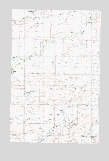
Dupuyer East, MT USGS Topographic Map
Click on map above to begin viewing in our Map Viewer.

This topographic map contains these locations and features:
Feature Name Type Latitude Longitude GNIS ID View Map
Angell RanchLocaleN48.2364°W112.4353°768263View Map
Bills CouleeValleyN48.1316°W112.3967°805914View Map
Birch Creek ColonyPopulated PlaceN48.2478°W112.4703°805915View Map
Birch Creek Colony SchoolSchoolN48.2480°W112.4703°1748842View Map
Broadhead (historical)Populated PlaceN48.2403°W112.3884°1748806View Map
Campbell RanchLocaleN48.1919°W112.4623°769557View Map
Crocker SpringsSpringN48.2303°W112.4114°770304View Map
D CanalCanalN48.2439°W112.3820°770416View Map
DupuyerPopulated PlaceN48.1925°W112.4995°770915View Map
Dupuyer Baptist ChurchChurchN48.1925°W112.4995°1748725View Map
Dupuyer Census Designated PlaceCensusN48.1868°W112.4770°2583804View Map
Dupuyer Methodist Church (historical)ChurchN48.1925°W112.4995°1748727View Map
Dupuyer SchoolSchoolN48.1944°W112.4975°1748893View Map
Hay CouleeValleyN48.2172°W112.4592°1748698View Map
Hines RanchLocaleN48.1400°W112.4356°772427View Map
Holy Cross Catholic ChurchChurchN48.1925°W112.4995°1748726View Map
Jensen CouleeValleyN48.1572°W112.4262°772811View Map
Kitty Milk DamDamN48.2116°W112.4059°798470View Map
Perkins RanchLocaleN48.2241°W112.4175°775162View Map
Perrins School (historical)SchoolN48.1894°W112.3942°775163View Map
Sheep CreekStreamN48.2027°W112.4809°790338View Map
Soberup RanchLocaleN48.2386°W112.4889°776723View Map
Woods CouleeValleyN48.1702°W112.4856°1748697View Map

Note: Coordinates in the location and feature list above are referenced to NAD83 datum.


Copyright (C) 2008-2025 Ryan Niemi / Sunset Dynamics ... All Rights Reserved