TopoQuest Logo
Do you find TopoQuest useful?
Help keep TopoQuest running and adding new maps/features by donating!
Bitcoin:  19c7KJd3qBynnjoSw5npx9KScwjBe4ifkT
Litecoin:  LXs6TkuXGGXo1vDsWCkWVdjQX94eUKd6ui
Home View Maps Find Maps Find Places Resources & Links


Elmdale NW, Montana Topographic Map

USGS Map Title: Elmdale NW, MT
USGS Map MRC: 47104H8
DRG (GeoTIFF) Download: o47104h8.tif


Neighboring USGS Topographic Map Quads:


  Sprole, MT  
48105A1
 

  Mortarstone Bluff, MT  
48104A8
 

  Frog Coulee, MT  
48104A7
 

  Duplisse Creek North, MT  
47105H1
 

  Elmdale NW, MT  
47104H8
 

  Elmdale, MT  
47104H7
 

  Duplisse Creek South, MT  
47105G1
 

  Elmdale SW, MT  
47104G8
 

  Carda Coulee, MT  
47104G7


Map MRC Location:

N48°
W105°
N48°
W104°
H8 H7 H6 H5 H4 H3 H2 H1
G8 G7 G6 G5 G4 G3 G2 G1
F8 F7 F6 F5 F4 F3 F2 F1
E8 E7 E6 E5 E4 E3 E2 E1
D8 D7 D6 D5 D4 D3 D2 D1
C8 C7 C6 C5 C4 C3 C2 C1
B8 B7 B6 B5 B4 B3 B2 B1
A8 A7 A6 A5 A4 A3 A2 A1
N47°
W105°
N47°
W104°

Elmdale NW, MT USGS 1:24K Topographic Map Preview:
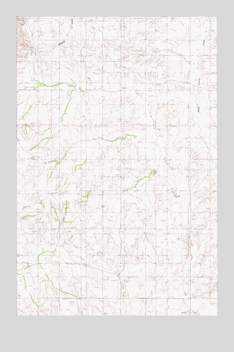
Elmdale NW, MT USGS Topographic Map
Click on map above to begin viewing in our Map Viewer.

This topographic map contains these locations and features:
Feature Name Type Latitude Longitude GNIS ID View Map
14N54E29ACCA01 WellWellN47.9425°W104.9083°825246View Map
25N52E02BBDA01 WellWellN47.9528°W104.9747°825277View Map
25N52E22CDCA01 WellWellN47.8978°W104.9930°825178View Map
25N52E27BABA01 WellWellN47.8964°W104.9930°825171View Map
25N52E27BABA02 WellWellN47.8964°W104.9930°825172View Map
25N53E07CCAD01 WellWellN47.9278°W104.9302°825218View Map
25N53E16DABC01 WellWellN47.9170°W104.8752°825205View Map
25N53E23CABA01 WellWellN47.9078°W104.8839°825195View Map
25N53E30CCBB01 WellWellN47.8847°W104.9341°825156View Map
25N53E30CCBC01 WellWellN47.8839°W104.9341°825153View Map
25N53E32ADCA01 WellWellN47.8753°W104.8958°825143View Map
26N52E26DDCC01 WellWellN47.9700°W104.9625°825308View Map
26N52E35ABBB01 WellWellN47.9689°W104.9677°825302View Map
26N52E35ABBC01 WellWellN47.9684°W104.9672°825300View Map
Armstrong School (historical)SchoolN47.9906°W104.8930°1715240View Map
Elmdale Nazarene Church (historical)ChurchN47.8972°W104.9791°1715296View Map
Goodwin School (historical)SchoolN47.9261°W104.9030°1715225View Map
McKinley School (historical)SchoolN47.9695°W104.9783°1715161View Map
Tolksdorf Number 1 DamDamN47.9784°W104.8805°795356View Map
Tolksdorf Number 2 DamDamN47.9784°W104.8755°795357View Map

Note: Coordinates in the location and feature list above are referenced to NAD83 datum.


Copyright (C) 2008-2025 Ryan Niemi / Sunset Dynamics ... All Rights Reserved