TopoQuest Logo
Do you find TopoQuest useful?
Help keep TopoQuest running and adding new maps/features by donating!
Bitcoin:  19c7KJd3qBynnjoSw5npx9KScwjBe4ifkT
Litecoin:  LXs6TkuXGGXo1vDsWCkWVdjQX94eUKd6ui
Home View Maps Find Maps Find Places Resources & Links


Duplisse Creek South, Montana Topographic Map

USGS Map Title: Duplisse Creek South, MT
USGS Map MRC: 47105G1
DRG (GeoTIFF) Download: o47105g1.tif


Neighboring USGS Topographic Map Quads:


  Sullivan Coulee, MT  
47105H2
 

  Duplisse Creek North, MT  
47105H1
 

  Elmdale NW, MT  
47104H8
 

  Lisk Creek, MT  
47105G2
 

  Duplisse Creek South, MT  
47105G1
 

  Elmdale SW, MT  
47104G8
 

  Richey NW, MT  
47105F2
 

  Richey, MT  
47105F1
 

  Kuester Lake, MT  
47104F8


Map MRC Location:

N48°
W106°
N48°
W105°
H8 H7 H6 H5 H4 H3 H2 H1
G8 G7 G6 G5 G4 G3 G2 G1
F8 F7 F6 F5 F4 F3 F2 F1
E8 E7 E6 E5 E4 E3 E2 E1
D8 D7 D6 D5 D4 D3 D2 D1
C8 C7 C6 C5 C4 C3 C2 C1
B8 B7 B6 B5 B4 B3 B2 B1
A8 A7 A6 A5 A4 A3 A2 A1
N47°
W106°
N47°
W105°

Duplisse Creek South, MT USGS 1:24K Topographic Map Preview:
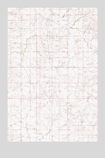
Duplisse Creek South, MT USGS Topographic Map
Click on map above to begin viewing in our Map Viewer.

This topographic map contains these locations and features:
Feature Name Type Latitude Longitude GNIS ID View Map
23N51E12ADCC01 WellWellN47.7697°W105.1103°824892View Map
23N51E13ABAB01 WellWellN47.7611°W105.1130°824868View Map
23N52E07CDCA01 WellWellN47.7614°W105.0986°824870View Map
23N52E07CDDB01 WellWellN47.7614°W105.0964°824869View Map
23N52E09BCAB01 WellWellN47.7708°W105.0591°824897View Map
23N52E16CBCD01 WellWellN47.7506°W105.0611°824813View Map
23N52E18BDAC01 WellWellN47.7556°W105.0964°824832View Map
23N52E18BDBA01 WellWellN47.7564°W105.0986°824837View Map
24N51E24DDAB01 WellWellN47.8220°W105.1069°825026View Map
24N52E18CABB01 WellWellN47.8467°W105.0955°825094View Map
24N52E22CBBD01 WellWellN47.8236°W105.0408°825029View Map
24N52E22CBCA01 WellWellN47.8236°W105.0422°825030View Map
24N52E22DCDD01 WellWellN47.8183°W105.0316°825017View Map
24N52E28BBAD01 WellWellN47.8164°W105.0591°825013View Map
24N52E28CAAB01 WellWellN47.8100°W105.0553°825001View Map
24N52E29ABBA01 WellWellN47.8175°W105.0708°825015View Map
24N52E33BBCA01 WellWellN47.8011°W105.0544°824983View Map
Bahls DamDamN47.7550°W105.0739°795345View Map
Crocket DamDamN47.8233°W105.0472°795349View Map
Duplisse CreekStreamN47.8622°W105.0505°799755View Map
Fatzinger Number 2 DamDamN47.8667°W105.0539°796641View Map
Win Number 2 DamDamN47.8017°W105.0539°797551View Map

Note: Coordinates in the location and feature list above are referenced to NAD83 datum.


Copyright (C) 2008-2025 Ryan Niemi / Sunset Dynamics ... All Rights Reserved