TopoQuest Logo
Do you find TopoQuest useful?
Help keep TopoQuest running and adding new maps/features by donating!
Bitcoin:  19c7KJd3qBynnjoSw5npx9KScwjBe4ifkT
Litecoin:  LXs6TkuXGGXo1vDsWCkWVdjQX94eUKd6ui
Home View Maps Find Maps Find Places Resources & Links


Elmdale SW, Montana Topographic Map

USGS Map Title: Elmdale SW, MT
USGS Map MRC: 47104G8
DRG (GeoTIFF) Download: o47104g8.tif


Neighboring USGS Topographic Map Quads:


  Duplisse Creek North, MT  
47105H1
 

  Elmdale NW, MT  
47104H8
 

  Elmdale, MT  
47104H7
 

  Duplisse Creek South, MT  
47105G1
 

  Elmdale SW, MT  
47104G8
 

  Carda Coulee, MT  
47104G7
 

  Richey, MT  
47105F1
 

  Kuester Lake, MT  
47104F8
 

  Enid, MT  
47104F7


Map MRC Location:

N48°
W105°
N48°
W104°
H8 H7 H6 H5 H4 H3 H2 H1
G8 G7 G6 G5 G4 G3 G2 G1
F8 F7 F6 F5 F4 F3 F2 F1
E8 E7 E6 E5 E4 E3 E2 E1
D8 D7 D6 D5 D4 D3 D2 D1
C8 C7 C6 C5 C4 C3 C2 C1
B8 B7 B6 B5 B4 B3 B2 B1
A8 A7 A6 A5 A4 A3 A2 A1
N47°
W105°
N47°
W104°

Elmdale SW, MT USGS 1:24K Topographic Map Preview:
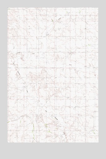
Elmdale SW, MT USGS Topographic Map
Click on map above to begin viewing in our Map Viewer.

This topographic map contains these locations and features:
Feature Name Type Latitude Longitude GNIS ID View Map
23N53E10DDDB01 WellWellN47.7620°W104.8944°824872View Map
23N53E14BAAB01 WellWellN47.7606°W104.8839°824864View Map
23N53E14BABD01 WellWellN47.7597°W104.8858°824853View Map
23N53E14BADA01 WellWellN47.7583°W104.8830°824845View Map
23N53E14BADD01 WellWellN47.7583°W104.8827°824844View Map
23N53E14BBAD01 WellWellN47.7597°W104.8886°824854View Map
23N53E14BBDA01 WellWellN47.7583°W104.8883°824846View Map
23N53E18ACCD01 WellWellN47.7547°W104.9655°824831View Map
24N53E09ABBB01 WellWellN47.8609°W104.9250°825113View Map
24N53E14CBAA01 WellWellN47.8392°W104.8869°825077View Map
24N53E14CBAA02 WellWellN47.8392°W104.8869°825078View Map
24N53E14DBBA01 WellWellN47.8386°W104.8794°825076View Map
24N53E15CCCD01 WellWellN47.8320°W104.9136°825064View Map
24N53E33BDAD01 WellWellN47.7983°W104.9183°824979View Map
24N53E34AAAB01 WellWellN47.8025°W104.8964°824984View Map
25N53E32DBBD01 WellWellN47.8731°W104.9011°825137View Map
25N53E32DBCD01 WellWellN47.8717°W104.9011°825133View Map
25N53E32DBCD02 WellWellN47.8695°W104.9005°825131View Map
25N53E33CABA01 WellWellN47.8739°W104.8850°825139View Map
Horse CreekStreamN47.8253°W104.9516°799161View Map
North Fork East Redwater CreekStreamN47.8297°W104.9983°774746View Map

Note: Coordinates in the location and feature list above are referenced to NAD83 datum.


Copyright (C) 2008-2025 Ryan Niemi / Sunset Dynamics ... All Rights Reserved