TopoQuest Logo
Do you find TopoQuest useful?
Help keep TopoQuest running and adding new maps/features by donating!
Bitcoin:  19c7KJd3qBynnjoSw5npx9KScwjBe4ifkT
Litecoin:  LXs6TkuXGGXo1vDsWCkWVdjQX94eUKd6ui
Home View Maps Find Maps Find Places Resources & Links


Horse Peak, California Topographic Map

USGS Map Title: Horse Peak, CA
USGS Map MRC: 41121D7
DRG (GeoTIFF) Download: o41121d7.tif


Neighboring USGS Topographic Map Quads:


  Tennant, CA  
41121E8
 

  Garner Mountain, CA  
41121E7
 

  Little Glass Mountain, CA  
41121E6
 

  Rainbow Mountain, CA  
41121D8
 

  Horse Peak, CA  
41121D7
 

  Snag Hill, CA  
41121D6
 

  Kinyon, CA  
41121C8
 

  Bartle, CA  
41121C7
 

  Hambone, CA  
41121C6


Map MRC Location:

N42°
W122°
N42°
W121°
H8 H7 H6 H5 H4 H3 H2 H1
G8 G7 G6 G5 G4 G3 G2 G1
F8 F7 F6 F5 F4 F3 F2 F1
E8 E7 E6 E5 E4 E3 E2 E1
D8 D7 D6 D5 D4 D3 D2 D1
C8 C7 C6 C5 C4 C3 C2 C1
B8 B7 B6 B5 B4 B3 B2 B1
A8 A7 A6 A5 A4 A3 A2 A1
N41°
W122°
N41°
W121°

Horse Peak, CA USGS 1:24K Topographic Map Preview:
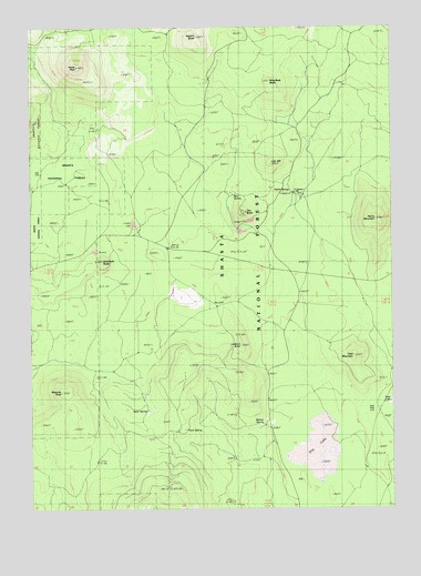
Horse Peak, CA USGS Topographic Map
Click on map above to begin viewing in our Map Viewer.

This topographic map contains these locations and features:
Feature Name Type Latitude Longitude GNIS ID View Map
Asperin ButteSummitN41.4974°W121.8181°256359View Map
Bear SpringSpringN41.4561°W121.8060°256706View Map
Belnap SpringSpringN41.3966°W121.7956°256814View Map
Cub HillSummitN41.4643°W121.7925°258979View Map
Deter SpringSpringN41.4004°W121.8358°259290View Map
Dry LakeFlatN41.3902°W121.7761°253132View Map
Fisk RidgeRidgeN41.4974°W121.8181°260169View Map
Harris MountainSummitN41.4499°W121.7561°261108View Map
Harris SpringSpringN41.4592°W121.7872°261111View Map
Harris Spring CampgroundLocaleN41.4565°W121.7853°277035View Map
Harris Spring Guard StationLocaleN41.4568°W121.7844°277034View Map
Horse PeakSummitN41.4896°W121.8581°261500View Map
Kluntuchi ButteSummitN41.4393°W121.8503°262216View Map
Lookout PointSummitN41.4174°W121.8031°1659010View Map
Lost Iron WellWellN41.4574°W121.7503°1656141View Map
Masonic RockPillarN41.4057°W121.8625°263259View Map
McCloud-Medicine Lake DivisionCivilN41.4132°W121.8139°1935185View Map
Nine Buck ButteSummitN41.4852°W121.7917°264096View Map
Oso ButteSummitN41.4518°W121.8011°264408View Map
Point SpringSpringN41.3956°W121.8233°264880View Map
Toad LakeLakeN41.4028°W121.7518°268307View Map
Toad MountainSummitN41.4146°W121.7644°268308View Map
Toad WellWellN41.4007°W121.7578°268309View Map

Note: Coordinates in the location and feature list above are referenced to NAD83 datum.


Copyright (C) 2008-2025 Ryan Niemi / Sunset Dynamics ... All Rights Reserved