TopoQuest Logo
Do you find TopoQuest useful?
Help keep TopoQuest running and adding new maps/features by donating!
Bitcoin:  19c7KJd3qBynnjoSw5npx9KScwjBe4ifkT
Litecoin:  LXs6TkuXGGXo1vDsWCkWVdjQX94eUKd6ui
Home View Maps Find Maps Find Places Resources & Links


Inwood, California Topographic Map

USGS Map Title: Inwood, CA
USGS Map MRC: 40121E8
DRG (GeoTIFF) Download: o40121e8.tif


Neighboring USGS Topographic Map Quads:


  Oak Run, CA  
40122F1
 

  Whitmore, CA  
40121F8
 

  Miller Mountain, CA  
40121F7
 

  Clough Gulch, CA  
40122E1
 

  Inwood, CA  
40121E8
 

  Hagaman Gulch, CA  
40121E7
 

  Tuscan Buttes NE, CA  
40122D1
 

  Shingletown, CA  
40121D8
 

  Manton, CA  
40121D7


Map MRC Location:

N41°
W122°
N41°
W121°
H8 H7 H6 H5 H4 H3 H2 H1
G8 G7 G6 G5 G4 G3 G2 G1
F8 F7 F6 F5 F4 F3 F2 F1
E8 E7 E6 E5 E4 E3 E2 E1
D8 D7 D6 D5 D4 D3 D2 D1
C8 C7 C6 C5 C4 C3 C2 C1
B8 B7 B6 B5 B4 B3 B2 B1
A8 A7 A6 A5 A4 A3 A2 A1
N40°
W122°
N40°
W121°

Inwood, CA USGS 1:24K Topographic Map Preview:
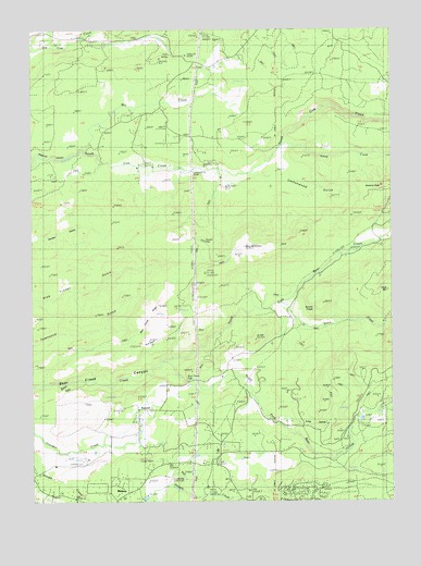
Inwood, CA USGS Topographic Map
Click on map above to begin viewing in our Map Viewer.

This topographic map contains these locations and features:
Feature Name Type Latitude Longitude GNIS ID View Map
Alamine PeakSummitN40.5832°W121.8811°218053View Map
Bear Creek FallsFallsN40.5318°W121.9469°218833View Map
Bear Creek RidgeRidgeN40.5515°W121.9567°218834View Map
Black Butte Elementary SchoolSchoolN40.5137°W121.9370°1682362View Map
Blue MountainSummitN40.5674°W121.9158°219507View Map
Bonnie CraigsCliffN40.5507°W121.9042°219643View Map
Clover Creek School (historical)SchoolN40.6238°W121.9950°1682372View Map
Cottonwood GulchValleyN40.5868°W121.9236°221652View Map
Di HillSummitN40.5424°W121.9242°1658414View Map
Fern SpringSpringN40.6179°W121.9521°223469View Map
Fluhart BasinBasinN40.5838°W121.9322°223631View Map
Fluhart GapGapN40.5685°W121.9417°252313View Map
Hamp CreekStreamN40.5938°W121.9147°224862View Map
InwoodPopulated PlaceN40.5240°W121.9572°252700View Map
Inwood SchoolSchoolN40.5135°W121.9750°225959View Map
Long HollowValleyN40.5224°W121.9153°227574View Map
MidwayPopulated PlaceN40.5021°W121.9664°1659123View Map
Mill CreekStreamN40.5932°W121.9833°228678View Map
Mill Creek SchoolSchoolN40.6032°W121.9556°228710View Map
North Fork Bear CreekStreamN40.5371°W121.9558°229642View Map
Ogburn Inwood CemeteryCemeteryN40.5096°W121.9619°229937View Map
Pine BasinBasinN40.5413°W121.9608°230672View Map
RedwoodsPopulated PlaceN40.5963°W121.9356°1659493View Map
Snow CreekStreamN40.5524°W121.9150°234769View Map
South Fork Bear CreekStreamN40.5368°W121.9558°267425View Map
Witherow RanchLocaleN40.5218°W121.8825°238082View Map

Note: Coordinates in the location and feature list above are referenced to NAD83 datum.


Copyright (C) 2008-2024 Ryan Niemi / Sunset Dynamics ... All Rights Reserved