TopoQuest Logo
Do you find TopoQuest useful?
Help keep TopoQuest running and adding new maps/features by donating!
Bitcoin:  19c7KJd3qBynnjoSw5npx9KScwjBe4ifkT
Litecoin:  LXs6TkuXGGXo1vDsWCkWVdjQX94eUKd6ui
Home View Maps Find Maps Find Places Resources & Links


Stinking Coulee, Montana Topographic Map

USGS Map Title: Stinking Coulee, MT
USGS Map MRC: 47104C8
DRG (GeoTIFF) Download: o47104c8.tif


Neighboring USGS Topographic Map Quads:


  Johnson Reservoir NE, MT  
47105D1
 

  Bloomfield, MT  
47104D8
 

  Red Top, MT  
47104D7
 

  Johnson Reservoir, MT  
47105C1
 

  Stinking Coulee, MT  
47104C8
 

  Morgan Creek School, MT  
47104C7
 

  Woodrow, MT  
47105B1
 

  Poverty Flat West, MT  
47104B8
 

  Poverty Flat East, MT  
47104B7


Map MRC Location:

N48°
W105°
N48°
W104°
H8 H7 H6 H5 H4 H3 H2 H1
G8 G7 G6 G5 G4 G3 G2 G1
F8 F7 F6 F5 F4 F3 F2 F1
E8 E7 E6 E5 E4 E3 E2 E1
D8 D7 D6 D5 D4 D3 D2 D1
C8 C7 C6 C5 C4 C3 C2 C1
B8 B7 B6 B5 B4 B3 B2 B1
A8 A7 A6 A5 A4 A3 A2 A1
N47°
W105°
N47°
W104°

Stinking Coulee, MT USGS 1:24K Topographic Map Preview:
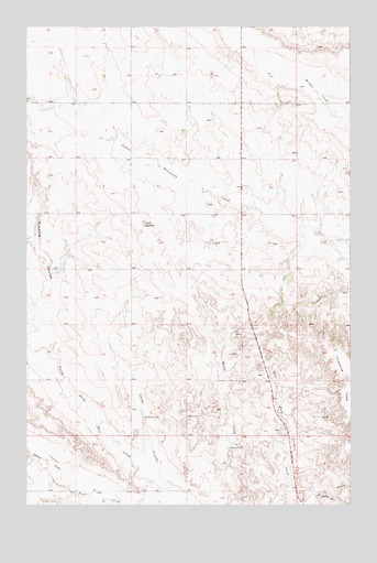
Stinking Coulee, MT USGS Topographic Map
Click on map above to begin viewing in our Map Viewer.

This topographic map contains these locations and features:
Feature Name Type Latitude Longitude GNIS ID View Map
17N53E01CBAD01 WellWellN47.2600°W104.9127°821773View Map
17N53E02DBAC01 WellWellN47.2597°W104.8827°821752View Map
18N53E01DDDA01 WellWellN47.3422°W104.8964°822322View Map
18N53E12CCAC01 WellWellN47.3278°W104.9152°822235View Map
18N53E35CCCB01 WellWellN47.2700°W104.8969°821839View Map
18N54E30DDDB01 WellWellN47.2842°W104.8764°821935View Map
19N53E32DDDD01 WellWellN47.3558°W104.9819°822420View Map
Brain DamDamN47.3117°W104.9872°797966View Map
Dahl School (historical)SchoolN47.2895°W104.9483°1715514View Map
Dawson CountyCivilN47.2664°W104.8995°1715632View Map
Dickerson DamDamN47.2728°W104.9558°770646View Map
Iehl DamDamN47.3383°W104.9522°797924View Map
Johnson Reservoir Fishing Access SiteLocaleN47.2567°W104.9597°1744342View Map
Kubesh DamDamN47.2645°W104.9227°773143View Map
Kubesh DamDamN47.2650°W104.9255°795475View Map
North Fork Deer CreekStreamN47.2508°W104.9477°774739View Map
South Fork Deer CreekStreamN47.2508°W104.9477°776819View Map
Stinking CouleeValleyN47.2906°W104.9908°777220View Map
Thomas Post Office (historical)Post OfficeN47.3178°W104.9277°1715345View Map
Twin ButtesSummitN47.3231°W104.9552°777842View Map
Twin Buttes School (historical)SchoolN47.3270°W104.9594°1715582View Map

Note: Coordinates in the location and feature list above are referenced to NAD83 datum.


Copyright (C) 2008-2025 Ryan Niemi / Sunset Dynamics ... All Rights Reserved