TopoQuest Logo
Do you find TopoQuest useful?
Help keep TopoQuest running and adding new maps/features by donating!
Bitcoin:  19c7KJd3qBynnjoSw5npx9KScwjBe4ifkT
Litecoin:  LXs6TkuXGGXo1vDsWCkWVdjQX94eUKd6ui
Home View Maps Find Maps Find Places Resources & Links


Lawhead Creek, Oregon Topographic Map

USGS Map Title: Lawhead Creek, OR
USGS Map MRC: 44122F3
DRG (GeoTIFF) Download: o44122f3.tif


Neighboring USGS Topographic Map Quads:


  Mill City North, OR  
44122G4
 

  Elkhorn, OR  
44122G3
 

  Battle Ax, OR  
44122G2
 

  Mill City South, OR  
44122F4
 

  Lawhead Creek, OR  
44122F3
 

  Detroit, OR  
44122F2
 

  Yellowstone Mountain, OR  
44122E4
 

  Quartzville, OR  
44122E3
 

  Chimney Peak, OR  
44122E2


Map MRC Location:

N45°
W123°
N45°
W122°
H8 H7 H6 H5 H4 H3 H2 H1
G8 G7 G6 G5 G4 G3 G2 G1
F8 F7 F6 F5 F4 F3 F2 F1
E8 E7 E6 E5 E4 E3 E2 E1
D8 D7 D6 D5 D4 D3 D2 D1
C8 C7 C6 C5 C4 C3 C2 C1
B8 B7 B6 B5 B4 B3 B2 B1
A8 A7 A6 A5 A4 A3 A2 A1
N44°
W123°
N44°
W122°

Lawhead Creek, OR USGS 1:24K Topographic Map Preview:
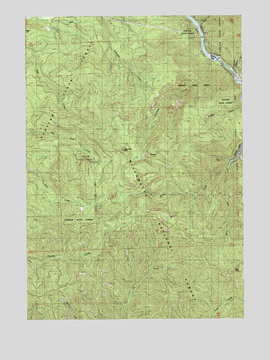
Lawhead Creek, OR USGS Topographic Map
Click on map above to begin viewing in our Map Viewer.

This topographic map contains these locations and features:
Feature Name Type Latitude Longitude GNIS ID View Map
Big Cliff ReservoirReservoirN44.7321°W122.2672°1637881View Map
Cold CreekStreamN44.6762°W122.3054°1153814View Map
Cumley CreekStreamN44.7160°W122.2523°1140545View Map
Detroit Dam Road Boat RampLocaleN44.7243°W122.2545°2699902View Map
Gooch Lumber Company (historical)LocaleN44.7304°W122.2623°1166423View Map
Granite Mountain (historical)LocaleN44.7262°W122.2526°1153813View Map
Kinney CreekStreamN44.6868°W122.2612°1144629View Map
Lawhead CreekStreamN44.7318°W122.2712°1144888View Map
M and M CreekStreamN44.6912°W122.2529°1145701View Map
Mayflower CreekStreamN44.7271°W122.2562°1163129View Map
Monument PeakSummitN44.6947°W122.3202°1146402View Map
PalisadesCliffN44.6910°W122.3031°1147364View Map
Rachel Post Office (historical)Post OfficeN44.6665°W122.3179°1164624View Map
Sardine CreekStreamN44.7471°W122.2754°1149073View Map
Slate CreekStreamN44.6896°W122.2573°1149661View Map
Slate RockPillarN44.6440°W122.2551°1149666View Map

Note: Coordinates in the location and feature list above are referenced to NAD83 datum.


Copyright (C) 2008-2024 Ryan Niemi / Sunset Dynamics ... All Rights Reserved