TopoQuest Logo
Do you find TopoQuest useful?
Help keep TopoQuest running and adding new maps/features by donating!
Bitcoin:  19c7KJd3qBynnjoSw5npx9KScwjBe4ifkT
Litecoin:  LXs6TkuXGGXo1vDsWCkWVdjQX94eUKd6ui
Home View Maps Find Maps Find Places Resources & Links


Lynnville, Illinois Topographic Map

USGS Map Title: Lynnville, IL
USGS Map MRC: 39090F3
DRG (GeoTIFF) Download: o39090f3.tif


Neighboring USGS Topographic Map Quads:


  Chapin, IL  
39090G4
 

  Concord, IL  
39090G3
 

  Literberry, IL  
39090G2
 

  Winchester, IL  
39090F4
 

  Lynnville, IL  
39090F3
 

  Jacksonville, IL  
39090F2
 

  Alsey, IL  
39090E4
 

  Manchester, IL  
39090E3
 

  Nortonville, IL  
39090E2


Map MRC Location:

N40°
W91°
N40°
W90°
H8 H7 H6 H5 H4 H3 H2 H1
G8 G7 G6 G5 G4 G3 G2 G1
F8 F7 F6 F5 F4 F3 F2 F1
E8 E7 E6 E5 E4 E3 E2 E1
D8 D7 D6 D5 D4 D3 D2 D1
C8 C7 C6 C5 C4 C3 C2 C1
B8 B7 B6 B5 B4 B3 B2 B1
A8 A7 A6 A5 A4 A3 A2 A1
N39°
W91°
N39°
W90°

Lynnville, IL USGS 1:24K Topographic Map Preview:
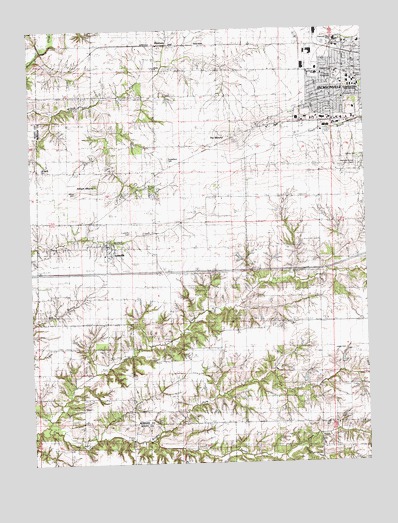
Lynnville, IL USGS Topographic Map
Click on map above to begin viewing in our Map Viewer.

This topographic map contains these locations and features:
Feature Name Type Latitude Longitude GNIS ID View Map
Allison CemeteryCemeteryN39.7033°W90.3582°1748082View Map
Allison MoundSummitN39.7050°W90.3510°403445View Map
Brushy ForkStreamN39.6373°W90.3696°405058View Map
Buckhorn School (historical)SchoolN39.6650°W90.2857°405128View Map
Calvary CemeteryCemeteryN39.7128°W90.2507°1748085View Map
Campbell CemeteryCemeteryN39.7102°W90.3716°1748086View Map
Christ Lutheran ChurchChurchN39.7353°W90.2523°1876047View Map
Diamond Grove CemeteryCemeteryN39.7106°W90.2504°1748092View Map
Duncan ParkParkN39.7350°W90.2504°1748093View Map
Eisenhower Elementary SchoolSchoolN39.7367°W90.2676°1748098View Map
Elkhorn School (historical)SchoolN39.6298°W90.2921°407879View Map
Elm Grove School (historical)SchoolN39.6512°W90.3229°407925View Map
Henry CreekStreamN39.6267°W90.2682°410071View Map
Illinois School for the DeafSchoolN39.7339°W90.2546°1748105View Map
Interchange 60CrossingN39.6803°W90.2946°1822108View Map
Jacksonville Fire Department Station 2BuildingN39.7384°W90.2581°2640293View Map
Jacksonville Industrial ParkLocaleN39.7412°W90.2698°1822113View Map
Jacksonville Number 11 Election PrecinctCivilN39.7226°W90.2535°1928522View Map
Jacksonville Number 12 Election PrecinctCivilN39.7271°W90.2627°1928523View Map
Jacksonville Number 13 Election PrecinctCivilN39.7265°W90.2736°1928524View Map
Jacksonville Number 14 Election PrecinctCivilN39.7387°W90.2674°1928525View Map
Jacksonville Number 15 Election PrecinctCivilN39.7384°W90.2581°1928526View Map
Lewis CemeteryCemeteryN39.6575°W90.2585°1748116View Map
Liberty CemeteryCemeteryN39.7386°W90.3281°1822117View Map
Liberty ChurchChurchN39.7389°W90.3279°1748117View Map
LynnvillePopulated PlaceN39.6870°W90.3460°412773View Map
Lynnville CemeteryCemeteryN39.6913°W90.3378°1748121View Map
Lynnville Election PrecinctCivilN39.6812°W90.3295°1928560View Map
MarkhamPopulated PlaceN39.7459°W90.3279°422941View Map
Markham Election PrecinctCivilN39.7474°W90.3316°1928562View Map
Medical Center HeliportAirportN39.7470°W90.2585°427399View Map
Morgan County FairgroundParkN39.7348°W90.2598°1748124View Map
Mound SchoolSchoolN39.7267°W90.2754°413918View Map
Passavant Area HospitalHospitalN39.7466°W90.2603°1748129View Map
Passavant Memorial Area Hospital Association HeliportAirportN39.7487°W90.2507°427398View Map
Point School (historical)SchoolN39.7089°W90.3282°415980View Map
Richardson CemeteryCemeteryN39.7125°W90.3233°1748134View Map
Rowe LakeReservoirN39.6538°W90.2822°1692225View Map
Rowe Lake DamDamN39.6517°W90.2835°1692224View Map
Spoon CreekStreamN39.6325°W90.3312°418909View Map
Strawns Grove School (historical)SchoolN39.6948°W90.2646°419212View Map
The MoundSummitN39.7178°W90.2985°419633View Map
Timber Edge School (historical)SchoolN39.6798°W90.3115°419724View Map
Village of LynnvilleCivilN39.6857°W90.3460°2399209View Map
West Liberty School (historical)SchoolN39.7417°W90.3285°420872View Map

Note: Coordinates in the location and feature list above are referenced to NAD83 datum.


Copyright (C) 2008-2024 Ryan Niemi / Sunset Dynamics ... All Rights Reserved