TopoQuest Logo
Do you find TopoQuest useful?
Help keep TopoQuest running and adding new maps/features by donating!
Bitcoin:  19c7KJd3qBynnjoSw5npx9KScwjBe4ifkT
Litecoin:  LXs6TkuXGGXo1vDsWCkWVdjQX94eUKd6ui
Home View Maps Find Maps Find Places Resources & Links


Markham Creek, Arizona Topographic Map

USGS Map Title: Markham Creek, AZ
USGS Map MRC: 33109A7
DRG (GeoTIFF) Download: o33109a7.tif


Neighboring USGS Topographic Map Quads:


  Gila Peak, AZ  
33109B8
 

  Bonita Tank, AZ  
33109B7
 

  Park Creek Cabins, AZ  
33109B6
 

  Fort Thomas, AZ  
33109A8
 

  Markham Creek, AZ  
33109A7
 

  Bryce Mountain, AZ  
33109A6
 

  Eden, AZ  
32109H8
 

  Pima, AZ  
32109H7
 

  Weber Peak, AZ  
32109H6


Map MRC Location:

N34°
W110°
N34°
W109°
H8 H7 H6 H5 H4 H3 H2 H1
G8 G7 G6 G5 G4 G3 G2 G1
F8 F7 F6 F5 F4 F3 F2 F1
E8 E7 E6 E5 E4 E3 E2 E1
D8 D7 D6 D5 D4 D3 D2 D1
C8 C7 C6 C5 C4 C3 C2 C1
B8 B7 B6 B5 B4 B3 B2 B1
A8 A7 A6 A5 A4 A3 A2 A1
N33°
W110°
N33°
W109°

Markham Creek, AZ USGS 1:24K Topographic Map Preview:
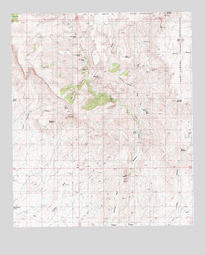
Markham Creek, AZ USGS Topographic Map
Click on map above to begin viewing in our Map Viewer.

This topographic map contains these locations and features:
Feature Name Type Latitude Longitude GNIS ID View Map
Angel Trail SpringSpringN33.0873°W109.8143°654View Map
Ash Timber SpringSpringN33.0969°W109.8244°854View Map
Big Spring WashStreamN33.0042°W109.7637°1378View Map
Black MountainSummitN33.0445°W109.7587°1560View Map
Brasswell CanyonValleyN33.0814°W109.7906°1946View Map
Brushy TankReservoirN33.1234°W109.8743°2046View Map
Bull SpringsSpringN33.1077°W109.7833°2172View Map
Dry ProngStreamN33.0817°W109.8192°4159View Map
Gila MountainsRangeN33.1153°W109.8554°5023View Map
Goat SpringSpringN33.0669°W109.7824°5082View Map
Hot Springs TankReservoirN33.0120°W109.8747°6037View Map
Ledge SpringSpringN33.0547°W109.7892°6949View Map
Left Fork Markham CreekStreamN33.0603°W109.7881°6962View Map
Left Hand SpringSpringN33.0648°W109.7923°22547View Map
Line Camp SpringSpringN33.1009°W109.8278°7041View Map
Lopas CanyonValleyN33.0020°W109.8090°7375View Map
Lopez WindmillLocaleN33.0531°W109.7517°7379View Map
Markham CreekStreamN33.0292°W109.7965°7714View Map
Oliver KnollSummitN33.0617°W109.8467°8979View Map
Oliver SpringSpringN33.0702°W109.8388°8980View Map
Oliver Trail SpringSpringN33.0912°W109.8263°8982View Map
Right Fork Markham CreekStreamN33.0603°W109.7881°10273View Map
Rim RockSummitN33.1081°W109.7579°10283View Map
Slaughter MountainSummitN33.1242°W109.7673°11421View Map
Studhorse SeepSpringN33.0916°W109.7777°11904View Map
Table MountainSummitN33.0989°W109.7965°12107View Map
The NarrowsGapN33.0290°W109.7962°12352View Map
Treadway MountainSummitN33.0728°W109.7609°12696View Map
Treadway SpringSpringN33.0672°W109.7818°12697View Map
Upper Waters SpringSpringN33.1112°W109.8298°13132View Map
Walnut SpringSpringN33.0748°W109.8721°13322View Map

Note: Coordinates in the location and feature list above are referenced to NAD83 datum.


Copyright (C) 2008-2025 Ryan Niemi / Sunset Dynamics ... All Rights Reserved