TopoQuest Logo
Do you find TopoQuest useful?
Help keep TopoQuest running and adding new maps/features by donating!
Bitcoin:  19c7KJd3qBynnjoSw5npx9KScwjBe4ifkT
Litecoin:  LXs6TkuXGGXo1vDsWCkWVdjQX94eUKd6ui
Home View Maps Find Maps Find Places Resources & Links


North Stacey School, Montana Topographic Map

USGS Map Title: North Stacey School, MT
USGS Map MRC: 45105G8
DRG (GeoTIFF) Download: o45105g8.tif


Neighboring USGS Topographic Map Quads:


  S H School, MT  
45106H1
 

  Fourmile Creek, MT  
45105H8
 

  Carey-Malone School, MT  
45105H7
 

  Hayes Point, MT  
45106G1
 

  North Stacey School, MT  
45105G8
 

  Foster Creek School, MT  
45105G7
 

  Beaver Creek School, MT  
45106F1
 

  Stacey, MT  
45105F8
 

  Elk Ridge, MT  
45105F7


Map MRC Location:

N46°
W106°
N46°
W105°
H8 H7 H6 H5 H4 H3 H2 H1
G8 G7 G6 G5 G4 G3 G2 G1
F8 F7 F6 F5 F4 F3 F2 F1
E8 E7 E6 E5 E4 E3 E2 E1
D8 D7 D6 D5 D4 D3 D2 D1
C8 C7 C6 C5 C4 C3 C2 C1
B8 B7 B6 B5 B4 B3 B2 B1
A8 A7 A6 A5 A4 A3 A2 A1
N45°
W106°
N45°
W105°

North Stacey School, MT USGS 1:24K Topographic Map Preview:
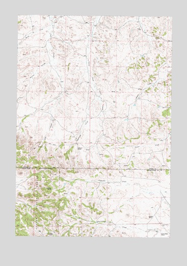
North Stacey School, MT USGS Topographic Map
Click on map above to begin viewing in our Map Viewer.

This topographic map contains these locations and features:
Feature Name Type Latitude Longitude GNIS ID View Map
01N46E03DBDD01 WellWellN45.8653°W105.9881°812875View Map
01N46E14DABD01 WellWellN45.8375°W105.9647°812614View Map
01N46E26ABCB01 WellWellN45.8144°W105.9711°812332View Map
01N47E04CCAA01 WellWellN45.8639°W105.8956°812869View Map
01N47E20AADC01 WellWellN45.8286°W105.9022°812528View Map
01N47E20ACDC01 WellWellN45.8178°W105.9083°812394View Map
01N47E28DDAD01 WellWellN45.8078°W105.8825°812249View Map
01N47E32ACDC01 WellWellN45.7958°W105.9064°812114View Map
01S47E11DDDD01 WellWellN45.7583°W105.8844°811739View Map
01S47E18BBDD01 WellWellN45.7531°W105.9819°811669View Map
01S55E17DAA_01 WellWellN45.7558°W105.9422°811701View Map
Bathtub SpringSpringN45.7998°W105.9509°778790View Map
Castle RockSummitN45.7617°W105.8931°781032View Map
Liscom Mountain SpringSpringN45.7515°W105.9701°786217View Map
Mullins CouleeValleyN45.8478°W105.9744°787851View Map
North Stacey CemeteryCemeteryN45.7569°W105.8819°788303View Map
North Stacey School (historical)SchoolN45.7522°W105.8828°788304View Map
Red Shale SpringSpringN45.7770°W105.9716°789490View Map
Sagebrush CreekStreamN45.8361°W105.9383°789918View Map
Scott CreekStreamN45.8700°W105.9731°790156View Map

Note: Coordinates in the location and feature list above are referenced to NAD83 datum.


Copyright (C) 2008-2025 Ryan Niemi / Sunset Dynamics ... All Rights Reserved