TopoQuest Logo
Do you find TopoQuest useful?
Help keep TopoQuest running and adding new maps/features by donating!
Bitcoin:  19c7KJd3qBynnjoSw5npx9KScwjBe4ifkT
Litecoin:  LXs6TkuXGGXo1vDsWCkWVdjQX94eUKd6ui
Home View Maps Find Maps Find Places Resources & Links


Belvidere NE, Illinois Topographic Map

USGS Map Title: Belvidere NE, IL
USGS Map MRC: 42088D7
DRG (GeoTIFF) Download: o42088d7.tif


Neighboring USGS Topographic Map Quads:


  Shopiere, WI  
42088E8
 

  Clinton, WI  
42088E7
 

  Sharon, WI  
42088E6
 

  Belvidere NW, IL  
42088D8
 

  Belvidere NE, IL  
42088D7
 

  Capron, IL  
42088D6
 

  Caledonia, IL  
42088C8
 

  Belvidere North, IL  
42088C7
 

  Garden Prairie, IL  
42088C6


Map MRC Location:

N43°
W89°
N43°
W88°
H8 H7 H6 H5 H4 H3 H2 H1
G8 G7 G6 G5 G4 G3 G2 G1
F8 F7 F6 F5 F4 F3 F2 F1
E8 E7 E6 E5 E4 E3 E2 E1
D8 D7 D6 D5 D4 D3 D2 D1
C8 C7 C6 C5 C4 C3 C2 C1
B8 B7 B6 B5 B4 B3 B2 B1
A8 A7 A6 A5 A4 A3 A2 A1
N42°
W89°
N42°
W88°

Belvidere NE, IL USGS 1:24K Topographic Map Preview:
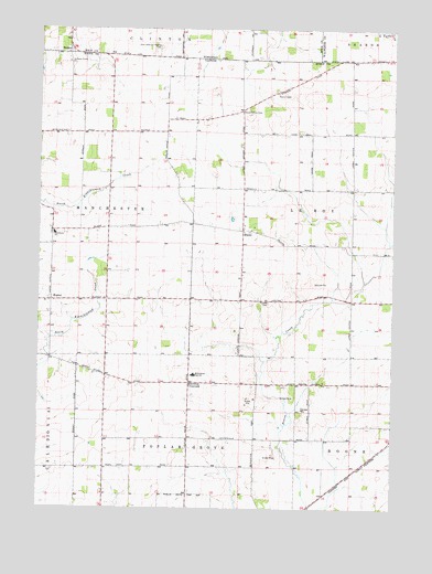
Belvidere NE, IL USGS Topographic Map
Click on map above to begin viewing in our Map Viewer.

This topographic map contains these locations and features:
Feature Name Type Latitude Longitude GNIS ID View Map
Beaverton CrossroadsPopulated PlaceN42.4078°W88.8218°422446View Map
Beaverton School (historical)SchoolN42.4006°W88.7987°1695234View Map
Beck School (historical)SchoolN42.4297°W88.8159°1695235View Map
BergenPopulated PlaceN42.4939°W88.8654°1561586View Map
BlainePopulated PlaceN42.4470°W88.8032°404535View Map
Blaine CemeteryCemeteryN42.4470°W88.8004°1955271View Map
Carpenter School (historical)SchoolN42.4734°W88.8457°1695240View Map
Center School (historical)SchoolN42.4731°W88.7651°1695241View Map
East Jefferson Prairie CemeteryCemeteryN42.4953°W88.8334°1564338View Map
Hillcrest FarmLocaleN42.4819°W88.8331°2629483View Map
Hovey School (historical)SchoolN42.4325°W88.7651°1695247View Map
HunterPopulated PlaceN42.4289°W88.8709°422831View Map
Jefferson Prairie ChurchChurchN42.4914°W88.8651°411056View Map
Johnson FarmsLocaleN42.4911°W88.8128°2629480View Map
Kinnikinnick FarmsLocaleN42.4589°W88.8747°2629485View Map
Manchester Elementary SchoolSchoolN42.4467°W88.8698°412882View Map
Nemec Airport (historical)AirportN42.4875°W88.8529°427706View Map
North Boone High SchoolSchoolN42.4100°W88.8198°414563View Map
Parks Corners Post Office (historical)Post OfficeN42.4514°W88.8037°1764734View Map
Quailtrap School (historical)SchoolN42.3859°W88.8518°1695253View Map
Stone School (historical)SchoolN42.4789°W88.8034°1695260View Map
Stone School CemeteryCemeteryN42.4783°W88.8037°419172View Map
Tound Prairie CemeteryCemeteryN42.4289°W88.7940°406491View Map
Township of LeRoyCivilN42.4535°W88.7636°429247View Map
Warrentown School (historical)SchoolN42.4075°W88.8382°1695262View Map

Note: Coordinates in the location and feature list above are referenced to NAD83 datum.


Copyright (C) 2008-2024 Ryan Niemi / Sunset Dynamics ... All Rights Reserved